17 Burnham Road, Romford, RM7 7JP
About 17 Burnham Road
17 Burnham Road is a six-bedroom end-of-terrace house in Romford (RM7 7JP). It has a recorded floor area of 154 m² (around 1658 sq ft), construction records dating it to 1930-1949 and council tax band C. The latest certificate (September 2016) shows a C (score 71). The recommended improvements would push it to B (score 83).
At 154 m² the property is well over the postcode median (80 m² across 6 EPCs), placing it in the larger end of the local stock. Its energy rating outperforms most of the postcode (better than 83% of similar EPCs). 6 bedrooms is on the larger side for this postcode, where 3 is the typical count. On the market in January 2017 and unlisted since — roughly 9 years. Across the public record there are 4 sales, relatively high churn for a single property. Across 1999–2017, sale prices on this property compounded at 9.9% per year. Today's modelled estimate of £604,000 is 28.5% above the 2017 sale price.
What this property has
Inside
- Bedrooms6
- Bathrooms2
- CloakroomYes
- EnsuiteYes
Outside
- Private gardenRear
- DrivewayYes
Everything you need to know about 17 Burnham Road
The true value, the hidden risks and the full sale history, in one report.
30-day money-back guarantee

The data behind every report


Energy performance
EPC Rating
Planning history
17 Burnham Road has no planning applications on record.
Notable planning nearby
12applications of note in the surrounding area
We flagged 1 thing worth checking at 17 Burnham Road
Independent checks surfaced things a buyer would want to understand before offering. The report explains each one in full, with the underlying data and what to ask.
- Signs of HMO activity in the area
30-day money-back guarantee
Sales history & valuation
Latest sale on 17 Burnham Road was the highest on Land Registry record across the postcode.
£604,000
Modelled from EPC, postcode comparables and a sale-price growth of 9.9% per year over 18 years.
£470,000
Growth on file: 9.9% per year over 18 years.
Sales timeline
9 January 2017Most recent
£470,000
+119.6%over 10 years5 December 2006
£214,000
+42.7%over 2 years1 September 2004
£150,000
+71.4%over 5 years5 March 1999
£87,500
Median price across the last 5 sales in RM7 7JP: £312,000 (2021–2011).
Versus other Burnham Road homes
On epc rating, 17 Burnham Road stands well clear of the street.
Price per m²
£3,052
Street avg £3,716
Floor Area
154 m²
Street avg 83 m²
Habitable Rooms
7 rooms
Street avg 5 rooms
CO₂ Emissions
4.4 t/year
Street avg 3.9 t/year
Everything you need to know about 17 Burnham Road
The true value, the hidden risks and the full sale history, in one report.
30-day money-back guarantee
The data behind every report
Similar properties nearby
The neighbourhood at a glance
Reported crime in the wider district is trending notably upward year-on-year.
Crime
7/mo
Rising year-on-year across the wider district.
Nearest stop
0.1 km
Cedar Road (RM5) — bus stop.
Closest school
0.5 km
Parklands Primary School. 32 schools nearby.
Go deeper on the local area
The full report breaks down crime, transport links, schools and air quality in depth.
Road noise across the postcode
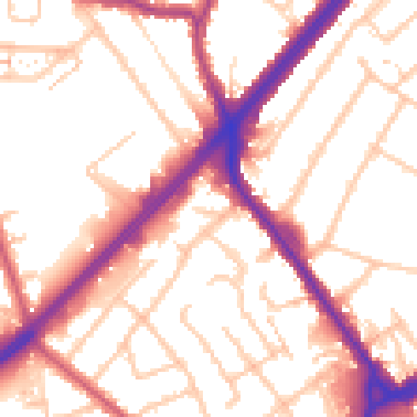
Daytime· 07:00 – 23:00
54.3dB

Night-time· 23:00 – 07:00
45.7dB