15 Burnham Road, Romford, RM7 7JP
About 15 Burnham Road
15 Burnham Road is a three-bedroom mid-terrace house in Romford (RM7 7JP). It has a recorded floor area of 78 m² (around 840 sq ft), construction records dating it to 1930-1949 and council tax band C. The latest certificate (November 2018) shows a D (score 62), on the cusp of jumping into the C band. The recommended improvements would lift it to B (score 84), a 2-band jump. Our model identifies extension potential, subject to local planning policy.
Today's modelled estimate of £404,000 is 29.5% above the 2019 sale price. On a £-per-square-foot basis, the last sale (£372/sq ft) was about 70.9% above the typical sold price in the postcode. Most recent transfer: February 2019 at £312,000.
What this property has
Inside
- Bedrooms3
- Bathrooms1
Outside
- Private gardenRear
Building
- Heating systemGas
- Extension potentialPossible
Everything you need to know about 15 Burnham Road
The true value, the hidden risks and the full sale history, in one report.
30-day money-back guarantee

The data behind every report


Energy performance
Recommended upgrades on file would lift this property by multiple EPC bands.
EPC Rating
Planning history
15 Burnham Road has no planning applications on record.
Notable planning nearby
12applications of note in the surrounding area
We flagged 1 thing worth checking at 15 Burnham Road
Independent checks surfaced things a buyer would want to understand before offering. The report explains each one in full, with the underlying data and what to ask.
- Signs of HMO activity in the area
30-day money-back guarantee
Sales history & valuation
15 Burnham Road valuation sits well clear of the typical sold price in this postcode.
£404,000
Modelled from EPC, postcode comparables.
£312,000
Recorded with HM Land Registry.
Sales timeline
15 February 2019Most recent
£312,000
Median price across the last 5 sales in RM7 7JP: £346,000 (2021–2011).
Versus other Burnham Road homes
On floor area, 15 Burnham Road runs well behind the street norm.
Price per m²
£4,000
Street avg £3,527
Floor Area
78 m²
Street avg 95 m²
Habitable Rooms
4 rooms
Street avg 5 rooms
CO₂ Emissions
3.7 t/year
Street avg 4.0 t/year
Everything you need to know about 15 Burnham Road
The true value, the hidden risks and the full sale history, in one report.
30-day money-back guarantee
The data behind every report
Similar properties nearby
1 Maple Street
RM7 7JX
1 Willow Street
RM7 7LJ
1 Cedar Road
RM7 7JR
1 Drummond Avenue
RM7 7EH
1 Marshalls Road
RM7 7EL
1 Cherry Street
RM7 7LL
1 Amanda Mews, Pretoria Road
RM7 7BL
10 Beech Street
RM7 7LA
The neighbourhood at a glance
Reported crime in the wider district is trending notably upward year-on-year.
Crime
7/mo
Rising year-on-year across the wider district.
Nearest stop
0.1 km
Cedar Road (RM5) — bus stop.
Closest school
0.5 km
Parklands Primary School. 32 schools nearby.
Go deeper on the local area
The full report breaks down crime, transport links, schools and air quality in depth.
Road noise across the postcode
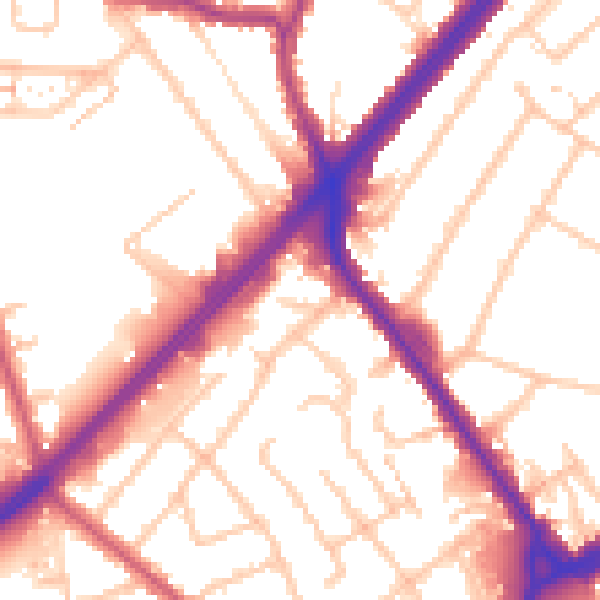
Daytime· 07:00 – 23:00
54.3dB

Night-time· 23:00 – 07:00
45.7dB