19 Mawney Road, Romford, RM7 7HL
About 19 Mawney Road
19 Mawney Road is a four-bedroom semi-detached house in Romford (RM7 7HL). It has a recorded floor area of 158 m² (around 1701 sq ft), construction records dating it to 1900-1929 and council tax band E. The latest certificate (November 2022) shows an E (score 47), well below the UK norm with real room to improve. The recommended improvements would lift it to C (score 73), a 2-band jump. Other recorded features include a conservatory.
At 158 m² the property is well over the postcode median (65 m² across 36 EPCs), placing it in the larger end of the local stock. On energy efficiency it sits in the bottom 10% of properties in this postcode — significant headroom for improvement. 3 planning records sit against the property, 0 approved, 0 refused. Across 1999–2024, sale prices on this property compounded at 6.8% per year. Most recent transfer: June 2024 at £640,000.
What this property has
Inside
- Bedrooms4
- Bathrooms2
- Dining roomYes
- EnsuiteYes
- ConservatoryYes
Outside
- Private gardenSouth-facing
- ParkingOff street
Everything you need to know about 19 Mawney Road
The true value, the hidden risks and the full sale history, in one report.
30-day money-back guarantee

The data behind every report


Energy performance
19 Mawney Road sits at the bottom of the postcode for energy efficiency — meaningful headroom to improve.
EPC Rating
Planning history
Council records show a subdivision application — the property's legal arrangement has been altered.
- Oct 2024New BuildFullIn report
Proposed new detached two bedroom dwelling to the rear of 19 mawney road
- Documents
- 4 docs on file
- Reference
- P0993.23
- Jan 2024SubdivisionFullIn report
Extension: Side and rear of property
Proposed side and rear extensions and conversion of existing house into 1 x 1bed and 2x 2bed flats with associated parking and amenity
Extension- Documents
- 8 docs on file
- Reference
- P1026.23
We flagged 1 thing worth checking at 19 Mawney Road
Independent checks surfaced things a buyer would want to understand before offering. The report explains each one in full, with the underlying data and what to ask.
- Signs of HMO activity in the area
30-day money-back guarantee
Sales history & valuation
19 Mawney Road has more than quadrupled in price since its earliest registered sale in 1999.
£659,000
Modelled from EPC, postcode comparables and a sale-price growth of 6.8% per year over 25 years.
£640,000
Growth on file: 6.8% per year over 25 years.
Sales timeline
13 June 2024Most recent
£640,000
+416.1%over 24 years8 July 1999
£124,000
Median price across the last 5 sales in RM7 7HL: £475,000 (2025–2021).
Versus other Mawney Road homes
On epc rating, 19 Mawney Road runs well behind the street norm.
Price per m²
£4,051
Street avg £3,854
Floor Area
158 m²
Street avg 150 m²
Habitable Rooms
8 rooms
Street avg 6 rooms
CO₂ Emissions
7.1 t/year
Street avg 6.0 t/year
Everything you need to know about 19 Mawney Road
The true value, the hidden risks and the full sale history, in one report.
30-day money-back guarantee
The data behind every report
Similar properties nearby
1 Palm Road
RM7 7BX
10 Beech Street
RM7 7LA
1 Amanda Mews, Pretoria Road
RM7 7BL
1 Cherry Street
RM7 7LL
1 Marshalls Road
RM7 7EL
1 Drummond Avenue
RM7 7EH
1 Cedar Road
RM7 7JR
1 Willow Street
RM7 7LJ
The neighbourhood at a glance
Rail-style transport is unusually close for this postcode.
Crime
7/mo
Rising year-on-year across the wider district.
Nearest stop
0.1 km
Olive Street — bus stop.
Closest school
0.0 km
The Mawney Foundation School. 34 schools nearby.
Go deeper on the local area
The full report breaks down crime, transport links, schools and air quality in depth.
Road noise across the postcode
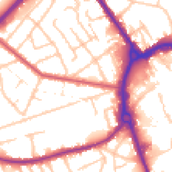
Daytime· 07:00 – 23:00
54.6dB

Night-time· 23:00 – 07:00
45.7dB