19 Eva Road, Romford, RM6 4NA
About 19 Eva Road
19 Eva Road is a three-bedroom end-of-terrace house in Romford (RM6 4NA). It has a recorded floor area of 103 m² (around 1109 sq ft), construction records dating it to 1930-1949 and council tax band D. The latest certificate (December 2017) shows a D (score 59), a step below the typical UK home. The recommended improvements would lift it to B (score 85), a 2-band jump.
Untraded for 30 years, with the last transfer in April 1996. Only one transfer is on record with HM Land Registry, suggesting it has stayed in the same hands for a long time. Today's modelled estimate of £524,000 sits 502.3% above the 1996 sale of £87,000. On a £-per-square-foot basis, the last sale (£78/sq ft) was about 58.9% below the postcode norm. At 103 m² it's 15.4% larger than the typical home in the postcode (89 m² median across 20 EPCs).
What this property has
Inside
- Bedrooms3
- Utility roomYes
- CloakroomYes
Outside
- ParkingOff street
Building
- Heating systemGas
- RefurbishedYes
Everything you need to know about 19 Eva Road
The true value, the hidden risks and the full sale history, in one report.
30-day money-back guarantee

The data behind every report


Energy performance
Recommended upgrades on file would lift this property by multiple EPC bands.
EPC Rating
Planning history
19 Eva Road has no planning applications on record.
Notable planning nearby
16applications of note in the surrounding area
We flagged 1 thing worth checking at 19 Eva Road
Independent checks surfaced things a buyer would want to understand before offering. The report explains each one in full, with the underlying data and what to ask.
- Signs of HMO activity in the area
30-day money-back guarantee
Sales history & valuation
19 Eva Road's modelled value sits at over four times its earliest registered sale price (1996).
£524,000
Modelled from EPC, postcode comparables.
£87,000
Recorded with HM Land Registry.
Sales timeline
3 April 1996Most recent
£87,000
Median price across the last 5 sales in RM6 4NA: £525,000 (2024–2015).
Versus other Eva Road homes
19 Eva Road is notably below the street on price per m².
Price per m²
£845
Street avg £3,052
Floor Area
103 m²
Street avg 98 m²
Habitable Rooms
5 rooms
Street avg 5 rooms
CO₂ Emissions
4.9 t/year
Street avg 4.0 t/year
Everything you need to know about 19 Eva Road
The true value, the hidden risks and the full sale history, in one report.
30-day money-back guarantee
The data behind every report
Similar properties nearby
1 Fauna Close
RM6 4AS
1 Birchdale Gardens
RM6 4DT
1 Arthur Road
RM6 4NL
1 Flora Gardens
RM6 4BQ
1 Essex Road, Chadwell Heath
RM6 4JA
1 Edgar Road
RM6 4LU
1 Avenue Road, Chadwell Heath
RM6 4JE
1 Dartford Gardens, Chadwell Heath
RM6 4FG
The neighbourhood at a glance
Rail-style transport is unusually close for this postcode.
Crime
6/mo
Steady year-on-year across the wider district.
Nearest stop
0.1 km
Wangey Road — bus stop.
Closest school
0.4 km
Chadwell Primary School. 48 schools nearby.
Go deeper on the local area
The full report breaks down crime, transport links, schools and air quality in depth.
Road noise across the postcode
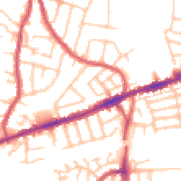
Daytime· 07:00 – 23:00
51.9dB

Night-time· 23:00 – 07:00
41.2dB