8 Cedar Park Gardens, Romford, RM6 4DS
About 8 Cedar Park Gardens
8 Cedar Park Gardens is an end-of-terrace house in Romford (RM6 4DS). It has a recorded floor area of 152 m² (around 1636 sq ft), construction records dating it to 1900-1929 and council tax band E. The latest certificate (October 2021) shows a D (score 59), a step below the typical UK home. The recommended improvements would lift it to B (score 83), a 2-band jump.
At 152 m² the property is well over the postcode median (87 m² across 10 EPCs), placing it in the larger end of the local stock. Across 1995–2023, sale prices on this property compounded at 3.4% per year. Today's modelled estimate of £420,000 sits 78.7% above the 2023 sale of £235,000. On a £-per-square-foot basis, the last sale (£144/sq ft) was about 41.3% below the postcode norm. Last sale on file: £235,000 in February 2023.
Everything you need to know about 8 Cedar Park Gardens
The true value, the hidden risks and the full sale history, in one report.
30-day money-back guarantee

The data behind every report


Energy performance
8 Cedar Park Gardens's carbon output runs well above what efficient homes in the postcode produce.
EPC Rating
Planning history
8 Cedar Park Gardens has no planning applications on record.
Notable planning nearby
16applications of note in the surrounding area
We flagged 1 thing worth checking at 8 Cedar Park Gardens
Independent checks surfaced things a buyer would want to understand before offering. The report explains each one in full, with the underlying data and what to ask.
- Signs of HMO activity in the area
30-day money-back guarantee
Sales history & valuation
8 Cedar Park Gardens has more than doubled in price since the earliest registered sale in 1995.
£420,000
Modelled from EPC, postcode comparables and a sale-price growth of 3.4% per year over 27 years.
£235,000
Growth on file: 3.4% per year over 27 years.
Sales timeline
8 February 2023Most recent
£235,000
+75.4%over 25 years28 November 1997
£134,000
+41.1%over 1 year20 December 1995
£95,000
Median price across the last 5 sales in RM6 4DS: £380,000 (2024–2014).
Nearby sales in RM6 4DS
Versus other Cedar Park Gardens homes
8 Cedar Park Gardens is notably below the street on price per m².
Price per m²
£1,546
Street avg £3,441
Floor Area
152 m²
Street avg 90 m²
Habitable Rooms
6 rooms
Street avg 4 rooms
CO₂ Emissions
6.6 t/year
Street avg 4.6 t/year
Everything you need to know about 8 Cedar Park Gardens
The true value, the hidden risks and the full sale history, in one report.
30-day money-back guarantee
The data behind every report
Similar properties nearby
1 Edgar Road
RM6 4LU
1 Essex Road, Chadwell Heath
RM6 4JA
1 Cedar Park Gardens
RM6 4DS
1 Avenue Road, Chadwell Heath
RM6 4JE
1 Dartford Gardens, Chadwell Heath
RM6 4FG
1 Cromer Terrace, Glandford Way, Chadwell Heath
RM6 4UF
1 Christie Gardens
RM6 4SA
1 Eva Road
RM6 4NA
The neighbourhood at a glance
Rail-style transport is unusually close for this postcode.
Crime
6/mo
Steady year-on-year across the wider district.
Nearest stop
0.1 km
Wangey Road — bus stop.
Closest school
0.4 km
Chadwell Primary School. 48 schools nearby.
Go deeper on the local area
The full report breaks down crime, transport links, schools and air quality in depth.
Road noise across the postcode
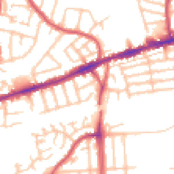
Daytime· 07:00 – 23:00
51.9dB

Night-time· 23:00 – 07:00
41.1dB