1a, Granville Road, Oxted, RH8 0BX
About 1a
1a is a three-bedroom detached house in Oxted (RH8 0BX). It has a recorded floor area of 80 m² (around 859 sq ft), construction records dating it to 1950-1966 and council tax band G. The latest certificate (October 2011) shows a D (score 62), on the cusp of jumping into the C band. The latest certificate is from October 2011, so improvements made since then won't be reflected.
Today's modelled estimate of £820,000 sits 66.5% above the 2012 sale of £492,500. On a £-per-square-foot basis, the last sale (£574/sq ft) was about 27% above the typical sold price in the postcode. At 80 m² it sits well below the postcode median (182 m² across 9 EPCs), making it one of the more compact homes locally. 5 planning records sit against the property, 3 approved, 0 refused. Past consents include an extension, a porch and partial demolition, meaningful when judging how the property has evolved. Last changed hands 14 years ago, in July 2012.
Know exactly what you're buying at 1a
Before you offer, see what the listing won't tell you, the true value, the red flags and the full history.
Already flagged here
Valuation
against the asking price
Risks
planning & flood
Sold prices
similar homes nearby
Trends
the local market
What this property has
Inside
- Bedrooms3
- Open-plan layoutYes
- Dining roomYes
- CloakroomYes
- EnsuiteYes
- StudyYes
Energy performance
1a's carbon output runs well above what efficient homes in the postcode produce.
EPC Expired
This certificate is over 10 years old and is no longer valid.Expired 25 Oct 2021
EPC Rating
Planning history
Planning history includes recorded demolition works, indicating a major rebuild phase at this address.
- Sept 2021ExtensionFullIn report
Erection of front and rear dormers, extension of existing pitched roof across the ground floor side extension. (Amended plans)
- Documents
- 11 docs on file
- Reference
- 2021/1019
- Nov 2017PorchFullIn report
Extension: Single storey
Demolition of existing garage. Erection of single storey front, side and rear extension, open porch to front elevation and enlargement of existing dormers to front and rear elevations. Changes to fenestration including installation of windows and doors.
ExtensionDemolition- Documents
- 18 docs on file
- Reference
- 2017/2118
We flagged 1 thing worth checking at 1a
Independent checks surfaced things a buyer would want to understand before offering. The report explains each one in full, with the underlying data and what to ask.
- Larger development activity nearby
30-day money-back guarantee
Sales history & valuation
£820,000
Modelled from EPC, postcode comparables.
£492,500
Recorded with HM Land Registry.
Sales timeline
19 July 2012Most recent
£492,500
Median price across the last 5 sales in RH8 0BX: £1,300,000 (2024–2017).
Everything we know about 1a, in one report
What it's really worth, what could be wrong, and the planning, sales and area data in full.
What we flagged
- Larger development activity nearby

Versus other Granville Road homes
On floor area, 1a runs well behind the street norm.
Price per m²
£6,175
Street avg £6,042
Floor Area
80 m²
Street avg 188 m²
Habitable Rooms
6 rooms
Street avg 7 rooms
CO₂ Emissions
6.1 t/year
Street avg 10.0 t/year
Similar properties nearby
1 Champions Place Cottages, Kent Hatch Road
RH8 0TA
1 Eastlands Way
RH8 0LP
1 Churchill Gardens
RH8 0EG
1 Detillens Cottages, High Street, Limpsfield
RH8 0DT
1 Central Way
RH8 0LS
1 Downs Way
RH8 0NZ
1 Caxton House, Caxton Lane
RH8 0TE
1 Caxton Lodge, Caxton Lane
RH8 0TE
The neighbourhood at a glance
Rail-style transport is unusually close for this postcode.
Crime
2/mo
Steady year-on-year across the wider district.
Nearest stop
0.4 km
Granville Road — bus stop.
Closest school
0.4 km
Oxted School. 5 schools nearby.
Go deeper on the local area
The full report breaks down crime, transport links, schools and air quality in depth.
Road noise across the postcode
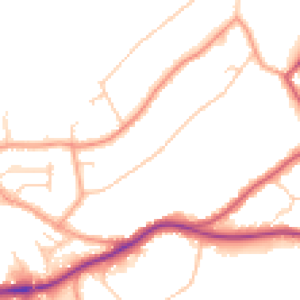
Daytime· 07:00 – 23:00
50.7dB

Night-time· 23:00 – 07:00
42.8dB