2 Park Road, Oxted, RH8 0AL
About 2 Park Road
2 Park Road is a five-bedroom detached house in Oxted (RH8 0AL). It has a recorded floor area of 226 m² (around 2433 sq ft), construction records dating it to 1900-1929 and council tax band G. The latest certificate (June 2018) shows a D (score 66), on the cusp of jumping into the C band. The recommended improvements would push it to C (score 75). Other recorded features include attached land beyond the plot. Our model identifies extension potential, subject to local planning policy.
One planning record on file: an extension approved in 2003. Past consents include an extension, meaningful when judging how the property has evolved. Today's modelled estimate of £1,441,000 is 15.3% above the 2018 sale price. Most recent transfer: November 2018 at £1,250,000.
Know exactly what you're buying at 2 Park Road
Before you offer, see what the listing won't tell you, the true value, the red flags and the full history.
Already flagged here
Valuation
against the asking price
Risks
planning & flood
Sold prices
similar homes nearby
Trends
the local market
What this property has
Inside
- Bedrooms5
- Bathrooms2
Outside
- GarageDouble
- LandYes
Building
- Extension potentialPossible
Energy performance
2 Park Road's carbon output runs well above what efficient homes in the postcode produce.
EPC Rating
Planning history
2 Park Road has an approved side extension on the planning record.
- Mar 2003ExtensionFullIn report
Extension: Side of property
Side extension to existing garage to form double garage.
- Documents
- 1 doc on file
- Reference
- 2003/41
We flagged 1 thing worth checking at 2 Park Road
Independent checks surfaced things a buyer would want to understand before offering. The report explains each one in full, with the underlying data and what to ask.
- Larger development activity nearby
30-day money-back guarantee
Sales history & valuation
2 Park Road valuation sits well clear of the typical sold price in this postcode.
£1,441,000
Modelled from EPC, postcode comparables.
£1,250,000
Recorded with HM Land Registry.
Sales timeline
30 November 2018Most recent
£1,250,000
Median price across the last 5 sales in RH8 0AL: £1,177,500 (2019–2013).
Everything we know about 2 Park Road, in one report
What it's really worth, what could be wrong, and the planning, sales and area data in full.
What we flagged
- Larger development activity nearby

Versus other Park Road homes
On habitable rooms, 2 Park Road stands well clear of the street.
Price per m²
£5,531
Street avg £4,975
Floor Area
226 m²
Street avg 197 m²
Habitable Rooms
10 rooms
Street avg 8 rooms
CO₂ Emissions
8.2 t/year
Street avg 5.7 t/year
Similar properties nearby
The neighbourhood at a glance
Rail-style transport is unusually close for this postcode.
Crime
2/mo
Steady year-on-year across the wider district.
Nearest stop
0.2 km
Oxted School Grounds — bus stop.
Closest school
0.2 km
Oxted School. 5 schools nearby.
Go deeper on the local area
The full report breaks down crime, transport links, schools and air quality in depth.
Road noise across the postcode
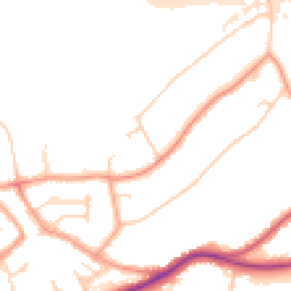
Daytime· 07:00 – 23:00
50.3dB

Night-time· 23:00 – 07:00
42.2dB