17 Bowes Close, Horsham, RH13 5SZ
About 17 Bowes Close
17 Bowes Close is a property in Horsham (RH13 5SZ). It has a recorded floor area of 56 m² (around 603 sq ft), construction records dating it to 1991-1995 and council tax band C. At 56 m² this is the 5th smallest of 38 units on EPC record in the building, where floor areas span 48–87 m². The building's EPC ratings span E to C across 38 units on file. The latest certificate (March 2026) shows a D (score 68), on the cusp of jumping into the C band. The recommended improvements would push it to C (score 74). Main heating runs on electricity. This certificate was lodged in the last six months, so the rating reflects current condition.
Untraded for 27 years, with the last transfer in January 2000. Across 1999–2000, sale prices on this property compounded at 15.5% per year. Today's modelled estimate of £252,000 sits 159.8% above the 2000 sale of £97,000. On a £-per-square-foot basis, the last sale (£161/sq ft) was about 37.8% below the postcode norm. One planning record on file: new windows approved in 2008. Past consents include new windows, meaningful when judging how the property has evolved.
Everything you need to know about 17 Bowes Close
The true value, the hidden risks and the full sale history, in one report.
Pick your report · from £14.99
One time fee only - money back guarantee

The data behind every report







Energy performance
17 Bowes Close's carbon output is low for the local stock.
EPC Rating
Certificate validity
Valid until 6 March 2036

Get a survey for this property
Level 3 Building Survey
Because the property has no mains gas supply, we believe a Level 3 building survey should be considered.
From £885 · Includes VAT
Planning history
1 application on record at 17 Bowes Close, Horsham, RH13 5SZ
- Sept 2008RenovationFullOutcome in report
Replacement windows
New Windows- Documents
- 9 docs on file
- Reference
- DC/08/1554
Unlock 17 Bowes Close, Horsham, RH13 5SZ's full planning history
You're seeing the shape of it. The report has the substance.
- Every decision — granted, refused or withdrawn (1 on record)
- All 1 application on this property in full, plus 3 notable nearby
- The 9 documents, officer reports & conditions
- What the pattern means for extending or converting here
One time fee only - money back guarantee
Sales history & valuation
17 Bowes Close's estimated value is more than triple its earliest registered sale price (1999).
£252,000
Modelled from EPC, postcode comparables and a sale-price growth of 15.5% per year over 1 year.
£97,000
Growth on file: 15.5% per year over 1 year.
Sales timeline
26 January 2000Most recent
£97,000
+15.5%over 8 months10 June 1999
£83,950
Median price across the last 5 sales in RH13 5SZ: £250,000 (2026–2024).
Versus other Bowes Close homes
Floor Area for 17 Bowes Close lags the street by a wide margin.
Price per m²
£1,732
Street avg £3,128
Floor Area
56 m²
Street avg 60 m²
Habitable Rooms
3 rooms
Street avg 3 rooms
CO₂ Emissions
1.0 t/year
Street avg 2.6 t/year
Everything you need to know about 17 Bowes Close
The true value, the hidden risks and the full sale history, in one report.
Pick your report · from £14.99
One time fee only - money back guarantee
The data behind every report
Similar properties nearby
1 Buchan Court, Brighton Road
RH13 5BT
1 Cotswold Court
RH13 5SS
1 Avery Place, Bennetts Road
RH13 5XE
1 Arun Court, Station Close
RH13 5UB
1 Clarence Court, Brighton Road
RH13 5TS
1 Arun Gardens, Arun Way
RH13 5FD
1 Abbotsbury Court
RH13 5PT
1 Chestnut Court, Orchard Road
RH13 5JF
The neighbourhood at a glance
Rail-style transport is unusually close for this postcode.
Crime
118/mo
Falling year-on-year across the wider district.
Nearest stop
0.2 km
Kings Road Roundabout — bus stop.
Closest school
0.1 km
Kingslea Primary School. 19 schools nearby.
Go deeper on the local area
A Local Area report breaks down crime, transport links, schools and air quality in depth.
Road noise across the postcode
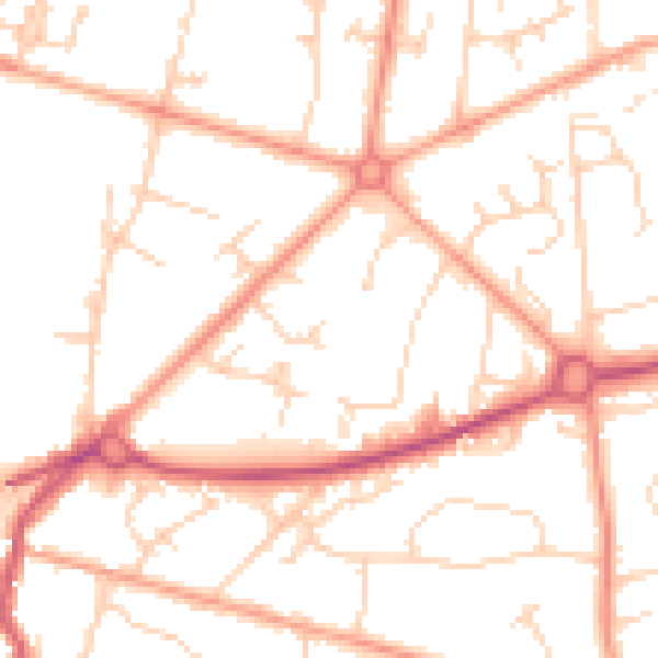
Daytime· 07:00 – 23:00
50.9dB
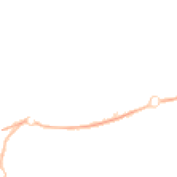
Night-time· 23:00 – 07:00
40.0dB