19 Garrick Walk, Crawley, RH10 5BD
About 19 Garrick Walk
19 Garrick Walk is a six-bedroom end-of-terrace house in Crawley (RH10 5BD). It has a recorded floor area of 145 m² (around 1558 sq ft), construction records dating it to 1950-1966 and council tax band D. The latest certificate (July 2010) shows a D (score 65), on the cusp of jumping into the C band. The recommended improvements would push it to C (score 74). The latest certificate is from July 2010, so improvements made since then won't be reflected.
Untraded for 15 years, with the last transfer in April 2011. Across the public record there are 4 sales, relatively high churn for a single property. At 145 m² the property is well over the postcode median (85 m² across 5 EPCs), placing it in the larger end of the local stock. 6 bedrooms is on the larger side for this postcode, where 3 is the typical count. Across 1996–2011, sale prices on this property compounded at 9.8% per year. Today's modelled estimate of £423,000 is 45.9% above the 2011 sale price. On a £-per-square-foot basis, the last sale (£186/sq ft) was about 19.4% below the postcode norm.
What this property has
Inside
- Bedrooms6
Everything you need to know about 19 Garrick Walk
The true value, the hidden risks and the full sale history, in one report.
Pick your report · every report is £14.99
One time fee only - money back guarantee

The data behind every report


Energy performance
19 Garrick Walk's EPC is over a decade old — improvements since won't be reflected.
EPC Expired
This certificate is over 10 years old and is no longer valid.Expired 25 Jul 2020
EPC Rating
Get a survey for this property
Level 2 HomeBuyer Report
We've checked 10 risk factors against the available data for this property and believe a Level 2 HomeBuyer Report could be a suitable option for you.
From £695 · Includes VAT
Planning history
19 Garrick Walk has no planning applications on record.
A planning report still maps activity across the surrounding area and reads this property's extension & conversion potential.
Sales history & valuation
Latest sale on 19 Garrick Walk was the highest on Land Registry record across the postcode.
£423,000
Modelled from EPC, postcode comparables and a sale-price growth of 9.8% per year over 15 years.
£289,950
Growth on file: 9.8% per year over 15 years.
Sales timeline
14 April 2011Most recent
£289,950
-22.7%over 3 years9 November 2007
£375,000
+127.3%over 5 years29 October 2002
£164,950
+120.1%over 6 years29 September 1996
£74,950
Median price across the last 5 sales in RH10 5BD: £216,260 (2021–2010).
Versus other Garrick Walk homes
19 Garrick Walk is notably below the street on price per m².
Price per m²
£2,004
Street avg £2,700
Floor Area
145 m²
Street avg 84 m²
Habitable Rooms
8 rooms
Street avg 5 rooms
CO₂ Emissions
4.9 t/year
Street avg 3.3 t/year
Everything you need to know about 19 Garrick Walk
The true value, the hidden risks and the full sale history, in one report.
Pick your report · every report is £14.99
One time fee only - money back guarantee
The data behind every report
Similar properties nearby
The neighbourhood at a glance
Crime
6/mo
Steady year-on-year across the wider district.
Nearest stop
0.2 km
Nash Road — bus stop.
Closest school
0.4 km
Desmond Anderson Primary Academy. 29 schools nearby.
Go deeper on the local area
A Local Area report breaks down crime, transport links, schools and air quality in depth.
Road noise across the postcode
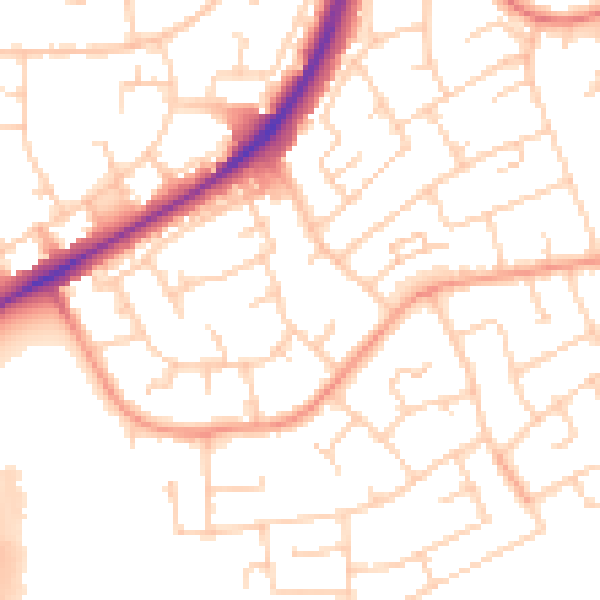
Daytime· 07:00 – 23:00
52.1dB

Night-time· 23:00 – 07:00
41.6dB