St Pauls Rectory, Holt Lane, Wokingham, RG41 1ED
About St Pauls Rectory
St Pauls Rectory is a detached house in Wokingham (RG41 1ED). It has a recorded floor area of 181 m² (around 1948 sq ft) and construction records dating it to 1996-2002. The latest certificate (June 2021) shows a C (score 72). The rating has held steady at C across 2 certificates since October 2011. The recommended improvements would push it to B (score 83).
2 planning records sit against the property, 1 approved, 1 refused.
Know exactly what you're buying at St Pauls Rectory
Before you offer, see what the listing won't tell you, the true value, the red flags and the full history.
Launch offer · save £5
Valuation
against the asking price
Risks
planning & flood
Sold prices
similar homes nearby
Trends
the local market
Energy performance
EPC Rating
Property Improvements
Changes detected from historical EPC data
More low energy lighting installed
Planning history
- Sept 2000New BuildOutlineIn report
Reserved matters on outline consent 97/66706/O for the erection of 2 dwellings.
- Documents
- 2 docs on file
- Reference
- 002435
- Aug 2000New BuildFullIn report
Proposed erection of two dwellings.
- Documents
- 2 docs on file
- Reference
- 002092
What's in St Pauls Rectory, Holt Lane, Wokingham, RG41 1ED's planning history?
Refusals, disputes and full decisions on this property and nearby, in the report.
Sales history & valuation
St Pauls Rectory has no Land Registry sales on file, suggesting it has stayed in the same hands since registration began.
£839,000
Modelled from EPC, postcode comparables.
No sales recorded with HM Land Registry
That can mean the property has never traded since the registry began publishing in 1995, was a new build that hasn't been registered yet, or is held in the same hands long-term.
Median price across the last 3 sales in RG41 1ED: £550,000 (2003–2001).
Everything we know about St Pauls Rectory, in one report
What it's really worth, what could be wrong, and the planning, sales and area data in full.
- Am I paying too much?
- Is something wrong with it?
- Is the agent's story true?
- Will it hold its value?

Similar properties nearby
The neighbourhood at a glance
Rail-style transport is unusually close for this postcode.
Crime
5/mo
Steady year-on-year across the wider district.
Nearest stop
0.1 km
Holt Lane — bus stop.
Closest school
0.2 km
The Holt School. 21 schools nearby.
Go deeper on the local area
The full report breaks down crime, transport links, schools and air quality in depth.
Road noise across the postcode
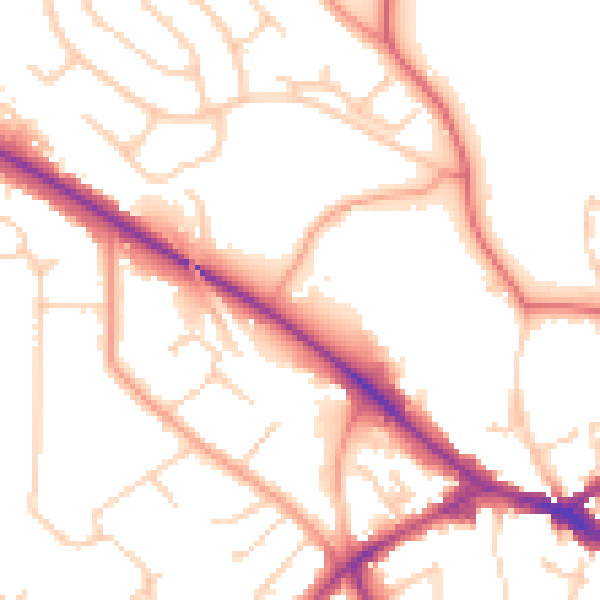
Daytime· 07:00 – 23:00
53.0dB

Night-time· 23:00 – 07:00
44.4dB