11b, Church Road, Tadley, RG26 3AU
About 11b
11b is a four-bedroom detached house in Tadley (RG26 3AU). It has a recorded floor area of 167 m² (around 1798 sq ft), construction records dating it to 1983-1990 and council tax band F. The latest certificate (November 2014) shows a C (score 70). The recommended improvements would push it to B (score 83). The latest certificate is from November 2014, so improvements made since then won't be reflected. Other recorded features include a conservatory and attached land beyond the plot.
At 167 m² it's 20.1% smaller than the typical home in the postcode (209 m² median across 10 EPCs). On energy efficiency it sits in the top 10% of properties in this postcode. 5 planning records sit against the property, 3 approved, 2 refused. Past consents include tree works, an extension and partial demolition, meaningful when judging how the property has evolved. Across 2008–2019, sale prices on this property compounded at 2.1% per year. Today's modelled estimate of £724,000 is 14.9% above the 2019 sale price. On a £-per-square-foot basis, the last sale (£350/sq ft) was about 44.4% above the typical sold price in the postcode. Most recent transfer: May 2019 at £630,000.
Know exactly what you're buying at 11b
Before you offer, see what the listing won't tell you, the true value, the red flags and the full history.
Already flagged here
Valuation
against the asking price
Risks
planning & flood
Sold prices
similar homes nearby
Trends
the local market
What this property has
Inside
- Bedrooms4
- Bathrooms2
- Dining roomYes
- EnsuiteYes
- ConservatoryYes
Outside
- GarageDouble
- LandYes
Energy performance
11b ranks among the most efficient homes in the postcode for energy use.
EPC Expired
This certificate is over 10 years old and is no longer valid.Expired 03 Nov 2024
EPC Rating
Planning history
Planning history includes recorded demolition works, indicating a major rebuild phase at this address.
- Jan 2022Tree WorksTreesIn report
T1 Oak: prune
- Documents
- 5 docs on file
- Reference
- T/00406/21/TPO
- Apr 2020DemolitionFullIn report
Extension: Single storey · Rear of property
Erection of single storey flat roof rear extension and open sided veranda following demolition of existing conservatory. Removal of side, ground floor window
Extension- Documents
- 13 docs on file
- Reference
- 20/00295/HSE
We flagged 1 thing worth checking at 11b
Independent checks surfaced things a buyer would want to understand before offering. The report explains each one in full, with the underlying data and what to ask.
- Larger development activity nearby
30-day money-back guarantee
Sales history & valuation
11b valuation sits well clear of the typical sold price in this postcode.
£724,000
Modelled from EPC, postcode comparables and a sale-price growth of 2.1% per year over 11 years.
£630,000
Growth on file: 2.1% per year over 11 years.
Sales timeline
14 May 2019Most recent
£630,000
+26.0%over 10 years29 June 2008
£500,000
Median price across the last 5 sales in RG26 3AU: £585,000 (2022–2015).
Nearby sales in RG26 3AU
Foxley Barn, Church Road, Tadley, RG26 3AU
Sold Sept 2022
£1,585,000Woodridge, Church Road, Tadley, RG26 3AU
Sold Nov 2018
£595,625Fir Trees, Church Road, Tadley, RG26 3AU
Sold Oct 2016
£467,0007 Church Road, Tadley, RG26 3AU
Sold Sept 2015
£400,000Fair Oaks, Church Road, Tadley, RG26 3AU
Sold Mar 2015
£585,000
Everything we know about 11b, in one report
What it's really worth, what could be wrong, and the planning, sales and area data in full.
What we flagged
- Larger development activity nearby

Versus other Church Road homes
11b outperforms the street on epc rating by a wide margin.
Price per m²
£3,772
Street avg £2,843
Floor Area
167 m²
Street avg 226 m²
Habitable Rooms
7 rooms
Street avg 8 rooms
CO₂ Emissions
4.7 t/year
Street avg 8.5 t/year
Similar properties nearby
The neighbourhood at a glance
Daytime road noise here sits well below conversation level — a quiet pocket of the postcode.
Crime
3/mo
Steady year-on-year across the wider district.
Nearest stop
0.7 km
Fairlawn Road — bus stop.
Closest school
0.6 km
Bishopswood Junior School. 5 schools nearby.
Go deeper on the local area
The full report breaks down crime, transport links, schools and air quality in depth.
Road noise across the postcode
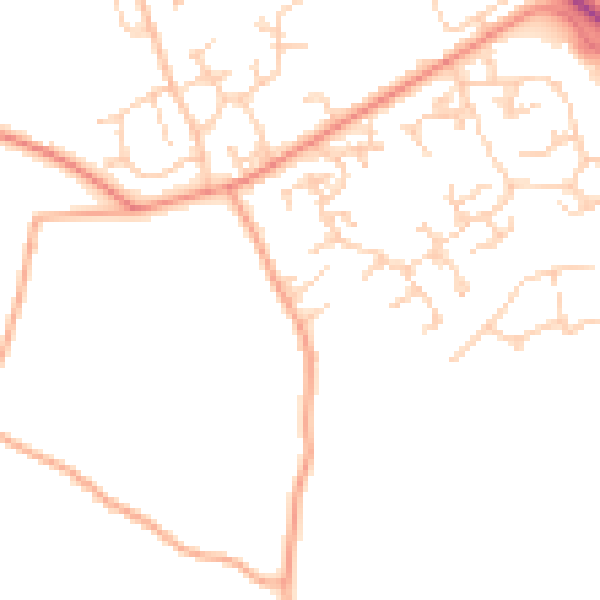
Daytime· 07:00 – 23:00
46.9dB

Night-time· 23:00 – 07:00
37.4dB