Madeley, Hackwood Road, Basingstoke, RG21 3AF
About Madeley
Madeley is a semi-detached house in Basingstoke (RG21 3AF). It has a recorded floor area of 168 m² (around 1808 sq ft), construction records dating it to 1900-1929 and council tax band E. The latest certificate (November 2023) shows a D (score 67), on the cusp of jumping into the C band. The rating has held steady at D across 2 certificates since August 2023. Between certificates, wall efficiency went from Poor to Average, roof efficiency went from Average to Very Good and lighting went from Very Poor to Very Good. The recommended improvements would lift it to B (score 82), a 2-band jump.
At 168 m² the property is well over the postcode median (95 m² across 21 EPCs), placing it in the larger end of the local stock.
Everything you need to know about Madeley
The true value, the hidden risks and the full sale history, in one report.
Pick your report · every report is £14.99
One time fee only - money back guarantee

The data behind every report


Energy performance
Madeley's carbon output runs well above what efficient homes in the postcode produce.
EPC Rating
Property Improvements
Changes detected from historical EPC data
Cavity wall insulation installed
Loft insulation upgraded to recommended levels
More low energy lighting installed
Get a survey for this property
Level 3 Building Survey
Because the property was built before 1919, we believe a Level 3 building survey should be considered.
From £1,155 · Includes VAT
Planning history
Madeley has no planning applications on record.
But the area is active
6 notable applications nearby — larger schemes and conversions that could reshape the street. The report maps them all.
Sales history & valuation
Madeley has no Land Registry sales on file, suggesting it has stayed in the same hands since registration began.
£604,000
Modelled from EPC, postcode comparables.
No sales recorded with HM Land Registry
That can mean the property has never traded since the registry began publishing in 1995, was a new build that hasn't been registered yet, or is held in the same hands long-term.
Median price across the last 5 sales in RG21 3AF: £390,000 (2025–2021).
Nearby sales in RG21 3AF
55 Hackwood Road, Basingstoke, RG21 3AF
Sold Mar 2025
£400,00061 Hackwood Road, Basingstoke, RG21 3AF
Sold May 2023
£232,500Fordyce, Hackwood Road, Basingstoke, RG21 3AF
Sold Sept 2021
£485,00054 Hackwood Road, Basingstoke, RG21 3AF
Sold Apr 2021
£360,00057 Hackwood Road, Basingstoke, RG21 3AF
Sold Feb 2021
£368,000
Versus other Hackwood Road homes
Floor Area for Madeley runs comfortably ahead of the street norm.
EPC Rating
67 (D)
Street avg 68 (D)
Floor Area
168 m²
Street avg 122 m²
CO₂ Emissions
6.2 t/year
Street avg 4.8 t/year
Habitable Rooms
8 rooms
Street avg 6 rooms
Everything you need to know about Madeley
The true value, the hidden risks and the full sale history, in one report.
Pick your report · every report is £14.99
One time fee only - money back guarantee
The data behind every report
Similar properties nearby
The neighbourhood at a glance
Crime
9/mo
Falling year-on-year across the wider district.
Nearest stop
0.0 km
Applegarth Close — bus stop.
Closest school
0.3 km
Fairfields Primary School. 30 schools nearby.
Go deeper on the local area
A Local Area report breaks down crime, transport links, schools and air quality in depth.
Road noise across the postcode
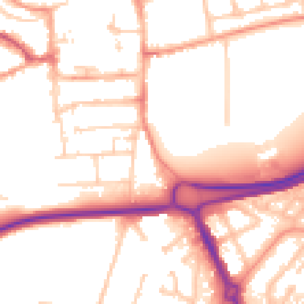
Daytime· 07:00 – 23:00
53.6dB

Night-time· 23:00 – 07:00
44.1dB