6 Ashman Road, Thatcham, RG19 4WD
About 6 Ashman Road
6 Ashman Road is a four-bedroom detached house in Thatcham (RG19 4WD). It has a recorded floor area of 147 m² (around 1582 sq ft), construction records dating it to 1991-1995 and council tax band E. The property has solar panels on record, all of which lower running costs and tend to lift resale appeal. Records show the property has been extended at some point in its history. The home occupies a cul-de-sac position. The latest certificate (October 2020) shows a C (score 71). The rating has held steady at C across 2 certificates since October 2020. Between certificates, hot-water efficiency went from Good to Very Good.
At 147 m² the property is well over the postcode median (100 m² across 19 EPCs), placing it in the larger end of the local stock. Its energy rating outperforms most of the postcode (better than 84% of similar EPCs). 3 planning records sit against the property, 3 approved, 0 refused. Past consents include an extension, meaningful when judging how the property has evolved. Across 2002–2021, sale prices on this property compounded at 5.3% per year. Today's modelled estimate of £575,000 is 21.1% above the 2021 sale price. Most recent transfer: January 2021 at £475,000. That sale was during the post-pandemic price surge, when transactions cleared materially above pre-2020 trend.
Know exactly what you're buying at 6 Ashman Road
Before you offer, see what the listing won't tell you, the true value, the red flags and the full history.
Already flagged here
Valuation
against the asking price
Risks
planning & flood
Sold prices
similar homes nearby
Trends
the local market
What this property has
Inside
- Bedrooms4
- Bathrooms1
- Open-plan layoutYes
- Dining roomYes
- EnsuiteYes
- StudyYes
Outside
- Private gardenRear
- GarageYes
- Cul-de-sacYes
Building
- Solar panelsYes
- Previously extendedYes
- RefurbishedYes
Energy performance
EPC Rating
Property Improvements
Changes detected from historical EPC data
Hot water system upgraded
Solar water heating installed
Planning history
6 Ashman Road has been extended on multiple sides of the property across separate planning applications.
- May 2015ExtensionFullIn report
Extension: Single storey · Rear of property
Single storey rear extension to enlarge the existing kitchen
- Agent
- Brian R Pearce
- Documents
- 10 docs on file
- Reference
- 15/00343/HOUSE
- Nov 2004ExtensionFullIn report
Extension: Two storey · Side of property
Two storey side extension
- Documents
- 2 docs on file
- Reference
- 04/02024/HOUSE
We flagged 1 thing worth checking at 6 Ashman Road
Independent checks surfaced things a buyer would want to understand before offering. The report explains each one in full, with the underlying data and what to ask.
- Larger development activity nearby
30-day money-back guarantee
Sales history & valuation
Sale price has at least doubled since 2002.
£575,000
Modelled from EPC, postcode comparables and a sale-price growth of 5.3% per year over 19 years.
£475,000
Growth on file: 5.3% per year over 19 years.
Sales timeline
7 January 2021Most recent
£475,000
+75.9%over 11 years7 July 2009
£270,000
+50.0%over 7 years1 April 2002
£180,000
Median price across the last 5 sales in RG19 4WD: £460,000 (2024–2022).
Everything we know about 6 Ashman Road, in one report
What it's really worth, what could be wrong, and the planning, sales and area data in full.
What we flagged
- Larger development activity nearby

Versus other Ashman Road homes
6 Ashman Road outperforms the street on epc rating by a wide margin.
Price per m²
£3,231
Street avg £4,078
Floor Area
147 m²
Street avg 107 m²
Habitable Rooms
6 rooms
Street avg 6 rooms
CO₂ Emissions
4.6 t/year
Street avg 4.3 t/year
Similar properties nearby
1 Arrowsmith Way
RG19 4GU
1 Cavalry Close
RG19 4RD
1 Bolingbroke Way
RG19 4GQ
1 Borderers Gardens
RG19 4AA
1 Corderoy Close
RG19 4GF
1 Botany Close
RG19 4GJ
1 Agricola Way
RG19 4GB
1 Beech Walk
RG19 4QR
The neighbourhood at a glance
Rail-style transport is unusually close for this postcode.
Crime
3/mo
Steady year-on-year across the wider district.
Nearest stop
0.1 km
Falmouth Way Top — bus stop.
Closest school
0.6 km
Francis Baily Primary School. 9 schools nearby.
Go deeper on the local area
The full report breaks down crime, transport links, schools and air quality in depth.
Road noise across the postcode
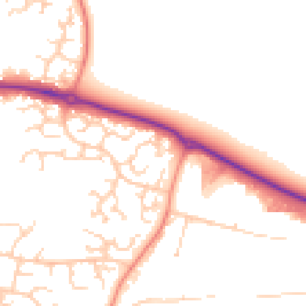
Daytime· 07:00 – 23:00
50.5dB

Night-time· 23:00 – 07:00
40.5dB