4 Ashman Road, Thatcham, RG19 4WD
About 4 Ashman Road
4 Ashman Road is a four-bedroom detached house in Thatcham (RG19 4WD). It has a recorded floor area of 138 m² (around 1485 sq ft), construction records dating it to 1983-1990 and council tax band F. The latest certificate (November 2013) shows a D (score 58), a step below the typical UK home. The recommended improvements would push it to C (score 79). The latest certificate is from November 2013, so improvements made since then won't be reflected.
At 138 m² the property is well over the postcode median (100 m² across 19 EPCs), placing it in the larger end of the local stock. Across 2014–2022, sale prices on this property compounded at 6.6% per year. On a £-per-square-foot basis, the last sale (£461/sq ft) was about 66.7% above the typical sold price in the postcode. Most recent transfer: November 2022 at £685,000. That sale was during the post-pandemic price surge, when transactions cleared materially above pre-2020 trend. One historical planning record sits against the property in 2020.
Know exactly what you're buying at 4 Ashman Road
Before you offer, see what the listing won't tell you, the true value, the red flags and the full history.
Already flagged here
Valuation
against the asking price
Risks
planning & flood
Sold prices
similar homes nearby
Trends
the local market
What this property has
Inside
- Bedrooms4
- Bathrooms2
- Dining roomYes
- Utility roomYes
- CloakroomYes
- EnsuiteYes
- StudyYes
Energy performance
4 Ashman Road's carbon output runs well above what efficient homes in the postcode produce.
EPC Expired
This certificate is over 10 years old and is no longer valid.Expired 23 Nov 2023
EPC Rating
Planning history
- Sept 2020FullIn report
Additional dormer window in the roof of an existing dwelling.
- Documents
- 10 docs on file
- Reference
- 20/01306/HOUSE
We flagged 1 thing worth checking at 4 Ashman Road
Independent checks surfaced things a buyer would want to understand before offering. The report explains each one in full, with the underlying data and what to ask.
- Larger development activity nearby
30-day money-back guarantee
Sales history & valuation
Latest sale on 4 Ashman Road was the highest on Land Registry record across the postcode.
£692,000
Modelled from EPC, postcode comparables and a sale-price growth of 6.6% per year over 8 years.
£685,000
Growth on file: 6.6% per year over 8 years.
Sales timeline
15 November 2022Most recent
£685,000
+71.3%over 8 years4 June 2014
£399,950
Median price across the last 5 sales in RG19 4WD: £460,000 (2024–2022).
Everything we know about 4 Ashman Road, in one report
What it's really worth, what could be wrong, and the planning, sales and area data in full.
What we flagged
- Larger development activity nearby

Versus other Ashman Road homes
CO₂ Emissions for 4 Ashman Road lags the street by a wide margin.
Price per m²
£4,964
Street avg £3,963
Floor Area
138 m²
Street avg 108 m²
Habitable Rooms
8 rooms
Street avg 6 rooms
CO₂ Emissions
6.2 t/year
Street avg 4.2 t/year
Similar properties nearby
1 Cavalry Close
RG19 4RD
1 Arrowsmith Way
RG19 4GU
1 Bolingbroke Way
RG19 4GQ
1 Borderers Gardens
RG19 4AA
1 Corderoy Close
RG19 4GF
1 Botany Close
RG19 4GJ
1 Agricola Way
RG19 4GB
1 Beech Walk
RG19 4QR
The neighbourhood at a glance
Rail-style transport is unusually close for this postcode.
Crime
3/mo
Steady year-on-year across the wider district.
Nearest stop
0.1 km
Falmouth Way Top — bus stop.
Closest school
0.6 km
Francis Baily Primary School. 9 schools nearby.
Go deeper on the local area
The full report breaks down crime, transport links, schools and air quality in depth.
Road noise across the postcode
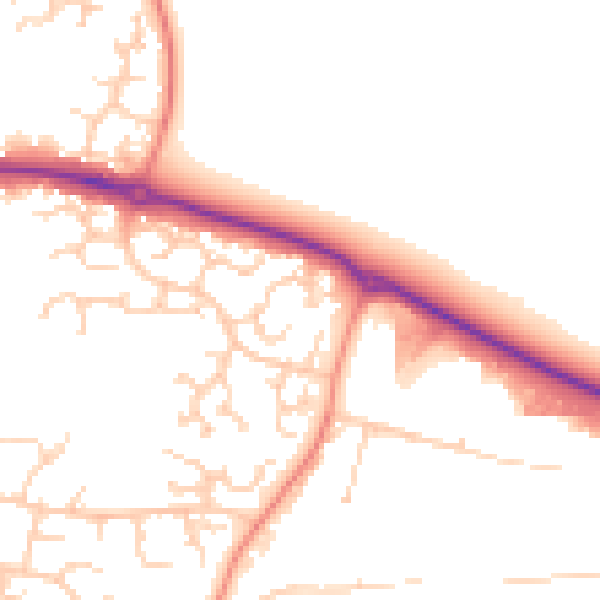
Daytime· 07:00 – 23:00
50.5dB

Night-time· 23:00 – 07:00
40.5dB