19 Ashman Road, Thatcham, RG19 4WD
About 19 Ashman Road
19 Ashman Road is a three-bedroom detached house in Thatcham (RG19 4WD). It has a recorded floor area of 69 m² (around 743 sq ft), construction records dating it to 1983-1990 and council tax band D. The latest certificate (April 2024) shows a D (score 64), on the cusp of jumping into the C band. The recommended improvements would lift it to B (score 82), a 2-band jump.
At 69 m² it sits well below the postcode median (102 m² across 19 EPCs), making it one of the more compact homes locally. On a £-per-square-foot basis, the last sale (£565/sq ft) was about 110% above the typical sold price in the postcode. Most recent transfer: August 2024 at £420,000.
Know exactly what you're buying at 19 Ashman Road
Before you offer, see what the listing won't tell you, the true value, the red flags and the full history.
Already flagged here
Valuation
against the asking price
Risks
planning & flood
Sold prices
similar homes nearby
Trends
the local market
What this property has
Inside
- Bedrooms3
- Bathrooms1
Energy performance
Recommended upgrades on file would lift this property by multiple EPC bands.
EPC Rating
Planning history
19 Ashman Road has no planning applications on record.
Notable planning nearby
3applications of note in the surrounding area
We flagged 1 thing worth checking at 19 Ashman Road
Independent checks surfaced things a buyer would want to understand before offering. The report explains each one in full, with the underlying data and what to ask.
- Larger development activity nearby
30-day money-back guarantee
Sales history & valuation
19 Ashman Road valuation sits well clear of the typical sold price in this postcode.
£449,000
Modelled from EPC, postcode comparables.
£420,000
Recorded with HM Land Registry.
Sales timeline
14 August 2024Most recent
£420,000
Median price across the last 5 sales in RG19 4WD: £562,150 (2024–2022).
Everything we know about 19 Ashman Road, in one report
What it's really worth, what could be wrong, and the planning, sales and area data in full.
What we flagged
- Larger development activity nearby

Versus other Ashman Road homes
On floor area, 19 Ashman Road runs well behind the street norm.
Price per m²
£6,087
Street avg £3,888
Floor Area
69 m²
Street avg 111 m²
Habitable Rooms
4 rooms
Street avg 6 rooms
CO₂ Emissions
3.1 t/year
Street avg 4.4 t/year
Similar properties nearby
The neighbourhood at a glance
Rail-style transport is unusually close for this postcode.
Crime
3/mo
Steady year-on-year across the wider district.
Nearest stop
0.1 km
Falmouth Way Top — bus stop.
Closest school
0.6 km
Francis Baily Primary School. 9 schools nearby.
Go deeper on the local area
The full report breaks down crime, transport links, schools and air quality in depth.
Road noise across the postcode
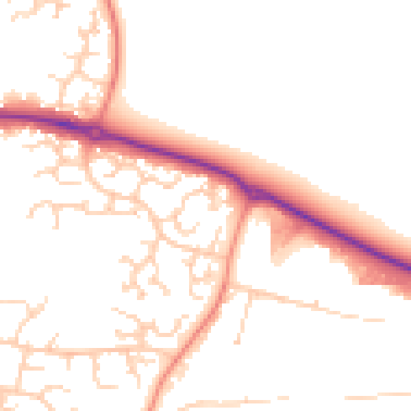
Daytime· 07:00 – 23:00
50.5dB

Night-time· 23:00 – 07:00
40.5dB