7 Westcliffe Road, Southport, PR8 2BW
About 7 Westcliffe Road
7 Westcliffe Road is a five-bedroom detached house in Southport (PR8 2BW). It has a recorded floor area of 269 m² (around 2895 sq ft), construction records dating it to before 1900 and council tax band G. The latest certificate (June 2021) shows a D (score 59), a step below the typical UK home. The recommended improvements would push it to C (score 80). Other recorded features include a basement.
At 269 m² the property is well over the postcode median (144 m² across 20 EPCs), placing it in the larger end of the local stock. 2 planning records sit against the property, 2 approved, 0 refused. Past consents include an extension and partial demolition, meaningful when judging how the property has evolved. Across 2003–2021, sale prices on this property compounded at 3.4% per year. Today's modelled estimate of £866,000 is 13.2% above the 2021 sale price. On a £-per-square-foot basis, the last sale (£264/sq ft) was about 278.1% above the typical sold price in the postcode. Most recent transfer: October 2021 at £765,000. That sale was during the post-pandemic price surge, when transactions cleared materially above pre-2020 trend.
What this property has
Inside
- Bedrooms5
- Open-plan layoutYes
- Dining roomYes
- CloakroomYes
- StudyYes
- BasementYes
Outside
- Private gardenYes
- GarageYes
Building
- RefurbishedYes
Everything you need to know about 7 Westcliffe Road
The true value, the hidden risks and the full sale history, in one report.
Pick your report · every report is £14.99
One time fee only - money back guarantee

The data behind every report


Energy performance
7 Westcliffe Road's carbon output runs well above what efficient homes in the postcode produce.
EPC Rating
Get a survey for this property
Level 3 Building Survey
Because the property was built before 1919 and has solid (non-cavity) walls, we believe a Level 3 building survey should be considered.
From £1,360 · Includes VAT
Planning history
Planning history includes recorded demolition works, indicating a major rebuild phase at this address.
2 applications on record at 7 Westcliffe Road, Southport, PR8 2BW
- Aug 2001ExtensionFullOutcome in report
Extension: Single storey · Rear of property
Erection of a single storey extension at the rear of the dwellinghouse
- Reference
- N/2001/0599
- More recent applications — locked
- DemolitionOct 2022Decision
Unlock 7 Westcliffe Road, Southport, PR8 2BW's full planning history
You're seeing the shape of it. The report has the substance.
- Every decision — granted, refused or withdrawn (2 on record)
- All 2 applications on this property in full, plus 2 notable nearby
- The 16 documents, officer reports & conditions
- What the pattern means for extending or converting here
One time fee only - money back guarantee
Sales history & valuation
Latest sale on 7 Westcliffe Road was the highest on Land Registry record across the postcode.
£866,000
Modelled from EPC, postcode comparables and a sale-price growth of 3.4% per year over 18 years.
£765,000
Growth on file: 3.4% per year over 18 years.
Sales timeline
21 October 2021Most recent
£765,000
+82.1%over 17 years7 November 2003
£420,000
Median price across the last 5 sales in PR8 2BW: £192,000 (2023–2021).
Nearby sales in PR8 2BW
15 Westcliffe Road, Southport, PR8 2BW
Sold Jul 2023
£200,000The Cedars, 11 Westcliffe Road, Southport, PR8 2BW
Sold Sept 2021
£248,00015a, Westcliffe Road, Southport, PR8 2BW
Sold Feb 2021
£150,000The Beeches, 11 Westcliffe Road, Southport, PR8 2BW
Sold Feb 2021
£192,000The Elms, 11 Westcliffe Road, Southport, PR8 2BW
Sold Feb 2018
£100,000
Versus other Westcliffe Road homes
Price per m² for 7 Westcliffe Road runs comfortably ahead of the street norm.
Price per m²
£2,844
Street avg £1,052
Floor Area
269 m²
Street avg 265 m²
Habitable Rooms
11 rooms
Street avg 8 rooms
CO₂ Emissions
12.0 t/year
Street avg 13.2 t/year
Everything you need to know about 7 Westcliffe Road
The true value, the hidden risks and the full sale history, in one report.
Pick your report · every report is £14.99
One time fee only - money back guarantee
The data behind every report
Similar properties nearby
1 Beach Road
PR8 2BP
1 Camberley Close
PR8 2PP
1 Chase Close
PR8 2DG
1 Belvedere Road
PR8 2PA
1 Brinklow Close
PR8 2SL
1 Chandley Close
PR8 2SJ
1 Broadlands
PR8 2HP
1 Blandford Close
PR8 2DB
The neighbourhood at a glance
Rail-style transport is unusually close for this postcode.
Crime
4/mo
Steady year-on-year across the wider district.
Nearest stop
0.0 km
Beach Road — bus stop.
Closest school
1.1 km
Linaker Primary School. 14 schools nearby.
Go deeper on the local area
A Local Area report breaks down crime, transport links, schools and air quality in depth.
Road noise across the postcode
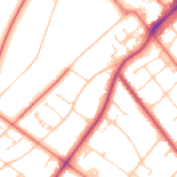
Daytime· 07:00 – 23:00
51.8dB

Night-time· 23:00 – 07:00
41.1dB