11 Cedar Way, Penwortham, Preston, PR1 0PE
About 11 Cedar Way
11 Cedar Way is a three-bedroom detached house in Penwortham, Preston, Preston (PR1 0PE). It has a recorded floor area of 87 m² (around 936 sq ft), construction records dating it to 1967-1975 and council tax band C. The latest certificate (April 2018) shows a D (score 64), on the cusp of jumping into the C band. The recommended improvements would lift it to B (score 82), a 2-band jump. Other recorded features include a conservatory.
One planning record on file: an extension approved in 2025. Past consents include an extension, meaningful when judging how the property has evolved. Across 1998–2018, sale prices on this property compounded at 6.1% per year. Today's modelled estimate of £311,000 is 33.5% above the 2018 sale price. On a £-per-square-foot basis, the last sale (£249/sq ft) was about 21.9% above the typical sold price in the postcode. Most recent transfer: June 2018 at £233,000.
What this property has
Inside
- Bedrooms3
- Bathrooms1
- Dining roomYes
- StudyYes
- ConservatoryYes
Outside
- Private gardenYes
- GarageYes
Building
- Heating systemGas
Everything you need to know about 11 Cedar Way
The true value, the hidden risks and the full sale history, in one report.
Pick your report · every report is £14.99
One time fee only - money back guarantee

The data behind every report


Energy performance
Recommended upgrades on file would lift this property by multiple EPC bands.
EPC Rating
Get a survey for this property
Level 2 HomeBuyer Report
We've checked 10 risk factors against the available data for this property and believe a Level 2 HomeBuyer Report could be a suitable option for you.
From £595 · Includes VAT
Planning history
1 application on record at 11 Cedar Way, Penwortham, Preston, PR1 0PE
- Jul 2025ExtensionFullOutcome in report
Extension: Single storey · Side of property
Proposed single storey side extension and changing the roof of the front single storey projection to a pitched roof
- Documents
- 6 docs on file
- Reference
- 07/2025/00399/HOH
Unlock 11 Cedar Way, Penwortham, Preston, PR1 0PE's full planning history
You're seeing the shape of it. The report has the substance.
- Every decision — granted, refused or withdrawn (1 on record)
- All 1 application on this property in full
- The 6 documents, officer reports & conditions
- What the pattern means for extending or converting here
One time fee only - money back guarantee
Sales history & valuation
11 Cedar Way has more than tripled in price since its earliest registered sale in 1998.
£311,000
Modelled from EPC, postcode comparables and a sale-price growth of 6.1% per year over 20 years.
£233,000
Growth on file: 6.1% per year over 20 years.
Sales timeline
21 June 2018Most recent
£233,000
+187.7%over 17 years13 July 2000
£81,000
+12.5%over 2 years25 June 1998
£72,000
Median price across the last 5 sales in PR1 0PE: £290,000 (2024–2019).
Nearby sales in PR1 0PE
22 Cedar Way, Penwortham, Preston, PR1 0PE
Sold Oct 2024
£375,0002 Cedar Way, Penwortham, Preston, PR1 0PE
Sold Jun 2021
£290,00013 Cedar Way, Penwortham, Preston, PR1 0PE
Sold Nov 2020
£269,95018 Cedar Way, Penwortham, Preston, PR1 0PE
Sold Jul 2019
£238,75016 Cedar Way, Penwortham, Preston, PR1 0PE
Sold Apr 2019
£208,500
Versus other Cedar Way homes
11 Cedar Way outperforms the street on price per m² by a wide margin.
Price per m²
£2,678
Street avg £2,294
Floor Area
87 m²
Street avg 93 m²
Habitable Rooms
6 rooms
Street avg 5 rooms
CO₂ Emissions
3.8 t/year
Street avg 3.9 t/year
Everything you need to know about 11 Cedar Way
The true value, the hidden risks and the full sale history, in one report.
Pick your report · every report is £14.99
One time fee only - money back guarantee
The data behind every report
Similar properties nearby
1 Belgrave Avenue, Penwortham
PR1 0BH
1 Central Drive, Penwortham
PR1 0NL
1 Blundell Lane, Penwortham
PR1 0EA
1 Chesmere Drive, Penwortham
PR1 0RA
1 Beechway, Penwortham
PR1 0XS
1 Birch Avenue, Penwortham
PR1 0PB
1 Chesmere Croft, Chesmere Drive, Penwortham
PR1 0RG
1 Broadwood Close, Penwortham
PR1 0XU
The neighbourhood at a glance
Crime
8/mo
Steady year-on-year across the wider district.
Nearest stop
0.1 km
Birch Avenue — bus stop.
Closest school
0.4 km
Whitefield Primary School. 16 schools nearby.
Go deeper on the local area
A Local Area report breaks down crime, transport links, schools and air quality in depth.
Road noise across the postcode
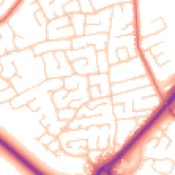
Daytime· 07:00 – 23:00
52.9dB

Night-time· 23:00 – 07:00
41.5dB