Model valuation£417,0008 Busby Close
Local market context
14 Harbour Way is a property in Portsmouth (PO2 8RJ). It has council tax band B.
It hasn't traded since June 2001, a hold of 25 years that's notably long for the area. Only one transfer is on record with HM Land Registry, suggesting it has stayed in the same hands for a long time. One historical planning record sits against the property in 2007.
The true value, the hidden risks and the full sale history, in one report.
Pick your report · from £14.99
One time fee only - money back guarantee

The data behind every report


This property doesn't have an Energy Performance Certificate yet. An EPC is required to sell or let — and unlocks our automated valuation.

Get a survey for this property
We've checked 10 risk factors against the available data for this property and believe a Level 2 HomeBuyer Report could be a suitable option for you.
1 application on record at 14 Harbour Way, Portsmouth, PO2 8RJ
Extension: Side of property
Construction of part ground floor/part first floor extension to side elevation
You're seeing the shape of it. The report has the substance.
One time fee only - money back guarantee
£101,000
Recorded with HM Land Registry.
14 June 2001Most recent
£101,000
Median price across the last 5 sales in PO2 8RJ: £255,000 (2025–2022).
Property research, connected
Explore sale histories, valuations, energy ratings and local areas. Ask the assistant to connect the details and take your research further.
Start your researchCrime
267/mo
Steady year-on-year across the wider district.
Nearest stop
0.1 km
Tipner Lane — bus stop.
Closest school
0.3 km
Stamshaw Junior School. 33 schools nearby.
Go deeper on the local area
A Local Area report breaks down crime, transport links, schools and air quality in depth.
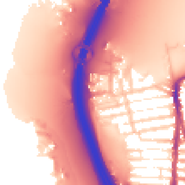
Daytime· 07:00 – 23:00
59.3dB
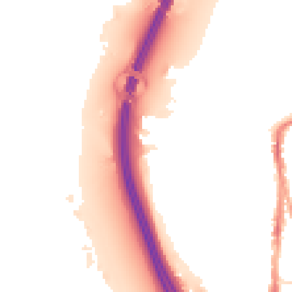
Night-time· 23:00 – 07:00
51.8dB