7 9, North Fen Road, Glinton, Peterborough, PE6 7JL
About 7 9
7 9 is a property in Glinton, Peterborough, Peterborough (PE6 7JL). It has council tax band G.
2 planning records sit against the property, 2 approved, 0 refused. Past consents include an extension, a porch, new windows and tree works, meaningful when judging how the property has evolved. Sold November 2020 for £650,000.
Everything you need to know about 7 9
The true value, the hidden risks and the full sale history, in one report.
Pick your report · every report is £14.99
One time fee only - money back guarantee

The data behind every report


Energy performance
No EPC on record
This property doesn't have an Energy Performance Certificate yet. An EPC is required to sell or let — and unlocks our automated valuation.
Get a survey for this property
Level 2 HomeBuyer Report
We've checked 10 risk factors against the available data for this property and believe a Level 2 HomeBuyer Report could be a suitable option for you.
Planning history
2 applications on record at 7 9, North Fen Road, Glinton, Peterborough, PE6 7JL
- Apr 2011Tree WorksTreesOutcome in report
Fell 1 Walnut Tree and replant with 1 Cherry Tree
- Documents
- 2 docs on file
- Reference
- 11/00335/CTR
- More recent applications — locked
- PorchSept 2020Decision
Unlock 7 9, North Fen Road, Glinton, Peterborough, PE6 7JL's full planning history
You're seeing the shape of it. The report has the substance.
- Every decision — granted, refused or withdrawn (2 on record)
- All 2 applications on this property in full, plus 2 notable nearby
- The 37 documents, officer reports & conditions
- What the pattern means for extending or converting here
One time fee only - money back guarantee
Sales history & valuation
The latest sale landed in the post-pandemic price surge — useful context when reading the figure.
£650,000
Recorded with HM Land Registry.
Sales timeline
23 November 2020Most recent
£650,000
Median price across the last 5 sales in PE6 7JL: £375,000 (2022–2016).
Nearby sales in PE6 7JL
13 North Fen Road, Glinton, Peterborough, PE6 7JL
Sold Aug 2022
£660,00032 North Fen Road, Glinton, Peterborough, PE6 7JL
Sold Jan 2018
£275,0001 North Fen Road, Glinton, Peterborough, PE6 7JL
Sold Dec 2016
£620,00036 North Fen Road, Glinton, Peterborough, PE6 7JL
Sold Jun 2016
£170,00022 North Fen Road, Glinton, Peterborough, PE6 7JL
Sold Dec 2013
£440,000
Everything you need to know about 7 9
The true value, the hidden risks and the full sale history, in one report.
Pick your report · every report is £14.99
One time fee only - money back guarantee
The data behind every report
Similar properties nearby
1 Carpenters Mews, Newborough
PE6 7PB
1 Botolphs Yard, Helpston
PE6 7EA
1 Abingdon Close, Eye
PE6 7ZJ
1 Abbey Close, Eye
PE6 7WE
1 Bath Road, Eye
PE6 7PY
1 Bramble Close, Newborough
PE6 7RP
1 Ashburn Close, Glinton
PE6 7LH
1 Beech Road, Glinton
PE6 7LA
The neighbourhood at a glance
Daytime road noise here sits well below conversation level — a quiet pocket of the postcode.
Crime
2/mo
Steady year-on-year across the wider district.
Closest school
0.3 km
Peakirk-Cum-Glinton Cofe Primary Academy. 5 schools nearby.
Go deeper on the local area
A Local Area report breaks down crime, transport links, schools and air quality in depth.
Road noise across the postcode
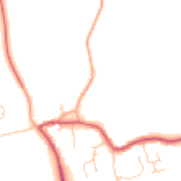
Daytime· 07:00 – 23:00
47.6dB

Night-time· 23:00 – 07:00
39.7dB