7 Wilson Drive, East Winch, King's Lynn, PE32 1NX
About 7 Wilson Drive
7 Wilson Drive is a detached house in King's Lynn (PE32 1NX). It has a recorded floor area of 94 m² (around 1012 sq ft), construction records dating it to 1996-2002 and council tax band C. The latest certificate (October 2013) shows a D (score 55), a step below the typical UK home. The recommended improvements would push it to C (score 75). Main heating runs on electricity. The latest certificate is from October 2013, so improvements made since then won't be reflected.
Held since February 1995 — that's 31 years off the open market, well above the local norm. Only one transfer is on record with HM Land Registry, suggesting it has stayed in the same hands for a long time. Today's modelled estimate of £282,000 sits 390.4% above the 1995 sale of £57,500. On a £-per-square-foot basis, the last sale (£57/sq ft) was about 58% below the postcode norm.
Everything you need to know about 7 Wilson Drive
The true value, the hidden risks and the full sale history, in one report.
Pick your report · every report is £14.99
One time fee only - money back guarantee

The data behind every report


Energy performance
7 Wilson Drive's EPC is over a decade old — improvements since won't be reflected.
EPC Expired
This certificate is over 10 years old and is no longer valid.Expired 28 Oct 2023
EPC Rating
Get a survey for this property
Level 3 Building Survey
Because the property has no mains gas supply, we believe a Level 3 building survey should be considered.
From £885 · Includes VAT
Planning history
7 Wilson Drive has no planning applications on record.
But the area is active
4 notable applications nearby — larger schemes and conversions that could reshape the street. The report maps them all.
Sales history & valuation
7 Wilson Drive's modelled value sits at over four times its earliest registered sale price (1995).
£282,000
Modelled from EPC, postcode comparables.
£57,500
Recorded with HM Land Registry.
Sales timeline
17 February 1995Most recent
£57,500
Median price across the last 5 sales in PE32 1NX: £305,000 (2025–2021).
Nearby sales in PE32 1NX
25 Wilson Drive, East Winch, King's Lynn, PE32 1NX
Sold Jul 2025
£305,0002 Wilson Drive, East Winch, King's Lynn, PE32 1NX
Sold Feb 2025
£335,00014 Wilson Drive, East Winch, King's Lynn, PE32 1NX
Sold Apr 2022
£311,00023 Wilson Drive, East Winch, King's Lynn, PE32 1NX
Sold Sept 2021
£265,00022 Wilson Drive, East Winch, King's Lynn, PE32 1NX
Sold Sept 2021
£274,995
Versus other Wilson Drive homes
On price per m², 7 Wilson Drive runs well behind the street norm.
Price per m²
£612
Street avg £2,038
Floor Area
94 m²
Street avg 97 m²
Habitable Rooms
6 rooms
Street avg 5 rooms
CO₂ Emissions
4.1 t/year
Street avg 5.6 t/year
Everything you need to know about 7 Wilson Drive
The true value, the hidden risks and the full sale history, in one report.
Pick your report · every report is £14.99
One time fee only - money back guarantee
The data behind every report
Similar properties nearby
1 Chapel Road, Pott Row
PE32 1BS
1 Birch Road, Gayton
PE32 1UN
1 Back Lane, Pott Row
PE32 1BT
1 Church Farm, Back Road, Pentney
PE32 1JW
1 Barge Cottages, Main Road, Narborough
PE32 1TE
1 Blacksmiths Way, Narborough
PE32 1UU
1 Chequers Road, Grimston
PE32 1AJ
1 Chapel Yard Cottages, Narborough Road, Pentney
PE32 1JL
The neighbourhood at a glance
Daytime road noise here sits well below conversation level — a quiet pocket of the postcode.
Crime
3/mo
Steady year-on-year across the wider district.
Closest school
2.8 km
Ashwicken Church of England Voluntary Aided Primary School. 1 school nearby.
Go deeper on the local area
A Local Area report breaks down crime, transport links, schools and air quality in depth.
Road noise across the postcode
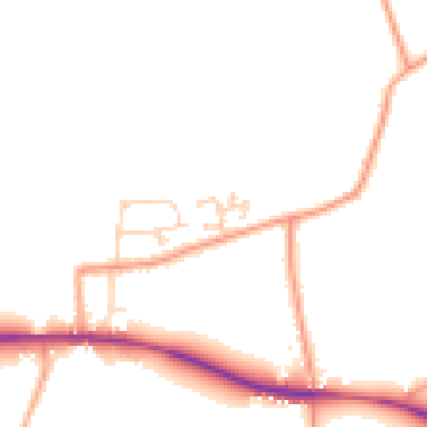
Daytime· 07:00 – 23:00
47.0dB

Night-time· 23:00 – 07:00
38.9dB