7 Abberbury Road, Oxford, OX4 4ET
About 7 Abberbury Road
7 Abberbury Road is a detached house in Oxford (OX4 4ET). It has a recorded floor area of 354 m² (around 3810 sq ft), construction records dating it to 1950-1966 and council tax band F. The latest certificate (July 2018) returns a high B (score 89), putting the home a stone's throw from an A rating. When first surveyed in July 2016 the rating was E, the property has climbed 3 bands since. Between certificates, wall efficiency went from Good to Very Good, roof efficiency went from Very Poor to Good and window efficiency went from Poor to Very Good.
At 354 m² the property is well over the postcode median (220 m² across 15 EPCs), placing it in the larger end of the local stock. On energy efficiency it sits in the top 10% of properties in this postcode. Across 2016–2018, sale prices on this property compounded at 58.3% per year. Today's modelled estimate of £2,634,000 sits 102.6% above the 2018 sale of £1,300,000. On a £-per-square-foot basis, the last sale (£341/sq ft) was about 28.8% below the postcode norm. Last sold in April 2018, so it's been off the market for around 8 years. 2 planning records sit against the property, 2 approved, 0 refused.
Know exactly what you're buying at 7 Abberbury Road
Before you offer, see what the listing won't tell you, the true value, the red flags and the full history.
Already flagged here
Valuation
against the asking price
Risks
planning & flood
Sold prices
similar homes nearby
Trends
the local market
Energy performance
7 Abberbury Road ranks among the most efficient homes in the postcode for energy use.
EPC Rating
Property Improvements
Changes detected from historical EPC data
Heating controls upgraded for better temperature management
Hot water efficiency improved
High performance glazing installed
Wall insulation improved
Roof insulation improved
Floor insulation added or improved
More low energy lighting installed
Planning history
- Apr 2017ConditionsIn report
Details submitted in compliance with conditions 3(Materials - samples), 5(Drainage details), 6(Landscape plan required), 8(Landscape hard surface design - tree roots), 9(Landscape undrgrnd services - tree roots), 10(Tree Protection Plan (TPP) 1) and 11(boricultural Method Statement (AMS) 1) of planning permission 16/02927/FUL.
- Agent
- Aubrey King
- Documents
- 11 docs on file
- Reference
- 16/02927/CND
- Jan 2017FullIn report
Demolition of existing dwelling. Erection of 1 x 5-bed dwellinghouse (Use Class C3). Provision of car parking and bin and cycle store.
- Documents
- 18 docs on file
- Reference
- 16/02927/FUL
We flagged 3 things worth checking at 7 Abberbury Road
Independent checks surfaced things a buyer would want to understand before offering. The report explains each one in full, with the underlying data and what to ask.
- Signs of HMO activity in the area
- Larger development activity nearby
- Recent ownership pattern worth a look
30-day money-back guarantee
Sales history & valuation
7 Abberbury Road's modelled value sits at over four times its earliest registered sale price (2016).
£2,634,000
Modelled from EPC, postcode comparables and a sale-price growth of 58.3% per year over 2 years.
£1,300,000
Growth on file: 58.3% per year over 2 years.
Sales timeline
4 April 2018Most recent
£1,300,000
+99.4%over 1 year2 October 2016
£652,000
Median price across the last 5 sales in OX4 4ET: £1,165,000 (2025–2020).
Nearby sales in OX4 4ET
Everything we know about 7 Abberbury Road, in one report
What it's really worth, what could be wrong, and the planning, sales and area data in full.
What we flagged
- Signs of HMO activity in the area
- Larger development activity nearby
- Recent ownership pattern worth a look

Versus other Abberbury Road homes
7 Abberbury Road is notably below the street on price per m².
Price per m²
£3,672
Street avg £5,995
Floor Area
354 m²
Street avg 205 m²
CO₂ Emissions
3.5 t/year
Street avg 8.0 t/year
Years Held
8 years
Street avg 9 years
Similar properties nearby
The neighbourhood at a glance
Crime
7/mo
Steady year-on-year across the wider district.
Nearest stop
0.5 km
The Oval — bus stop.
Closest school
0.4 km
Rose Hill Primary School. 21 schools nearby.
Go deeper on the local area
The full report breaks down crime, transport links, schools and air quality in depth.
Road noise across the postcode
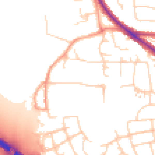
Daytime· 07:00 – 23:00
51.3dB

Night-time· 23:00 – 07:00
42.3dB