322 Oldham Road, Royton, Oldham, OL2 5AS
About 322 Oldham Road
322 Oldham Road is a property in Royton, Oldham, Oldham (OL2 5AS). It has council tax band A.
Untraded for 20 years, with the last transfer in June 2006.
Everything you need to know about 322 Oldham Road
The true value, the hidden risks and the full sale history, in one report.
Pick your report · every report is £14.99
One time fee only - money back guarantee

The data behind every report


Energy performance
No EPC on record
This property doesn't have an Energy Performance Certificate yet. An EPC is required to sell or let — and unlocks our automated valuation.
Get a survey for this property
Level 2 HomeBuyer Report
We've checked 10 risk factors against the available data for this property and believe a Level 2 HomeBuyer Report could be a suitable option for you.
Planning history
322 Oldham Road has no planning applications on record.
But the area is active
3 notable applications nearby — larger schemes and conversions that could reshape the street. The report maps them all.
Sales history & valuation
£95,000
Recorded with HM Land Registry.
Sales timeline
25 June 2006Most recent
£95,000
Median price across the last 5 sales in OL2 5AS: £200,000 (2025–2020).
Nearby sales in OL2 5AS
308a, Oldham Road, Royton, Oldham, OL2 5AS
Sold Aug 2025
£253,000324 Oldham Road, Royton, Oldham, OL2 5AS
Sold Jun 2023
£125,000318 Oldham Road, Royton, Oldham, OL2 5AS
Sold Mar 2021
£450,000312b, Oldham Road, Royton, Oldham, OL2 5AS
Sold Jul 2019
£200,000320 Oldham Road, Royton, Oldham, OL2 5AS
Sold Dec 2018
£108,000
Everything you need to know about 322 Oldham Road
The true value, the hidden risks and the full sale history, in one report.
Pick your report · every report is £14.99
One time fee only - money back guarantee
The data behind every report
Similar properties nearby
1 Birchinlee Avenue, Royton
OL2 5EL
1 All Saints Close, Royton
OL2 5RD
1 Albert Street, Royton
OL2 5UF
1 Burnsall Grove, Royton
OL2 5RJ
1 Bromley Avenue, Royton
OL2 5YB
1 Cemetery Road, Royton
OL2 5SP
1 Briony Close, Royton
OL2 5AL
1 Chapel Lane, Royton
OL2 5QG
The neighbourhood at a glance
Crime
1/mo
Steady year-on-year across the wider district.
Nearest stop
0.1 km
Seville Street — bus stop.
Closest school
0.4 km
St Anne's CofE (Aided) Primary School. 51 schools nearby.
Go deeper on the local area
A Local Area report breaks down crime, transport links, schools and air quality in depth.
Road noise across the postcode
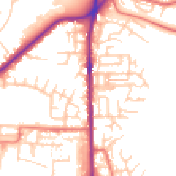
Daytime· 07:00 – 23:00
52.5dB

Night-time· 23:00 – 07:00
42.9dB