1 Birchinlee Avenue, Royton, Oldham, OL2 5EL
About 1 Birchinlee Avenue
1 Birchinlee Avenue is a detached house in Royton, Oldham, Oldham (OL2 5EL). It has a recorded floor area of 48 m² (around 517 sq ft), construction records dating it to 1950-1966 and council tax band A. At 48 m² this is the 14th smallest of 36 units on EPC record in the building, where floor areas span 42–101 m². The building's EPC ratings span E to C, with this unit at the top. The latest certificate (January 2016) shows a C (score 70). The latest certificate is from January 2016, so improvements made since then won't be reflected.
Everything you need to know about 1 Birchinlee Avenue
The true value, the hidden risks and the full sale history, in one report.
Pick your report · every report is £14.99
One time fee only - money back guarantee

The data behind every report


Energy performance
EPC Expired
This certificate is over 10 years old and is no longer valid.Expired 27 Jan 2026
EPC Rating
Get a survey for this property
Level 2 HomeBuyer Report
We've checked 10 risk factors against the available data for this property and believe a Level 2 HomeBuyer Report could be a suitable option for you.
From £495 · Includes VAT
Planning history
1 Birchinlee Avenue has no planning applications on record.
But the area is active
3 notable applications nearby — larger schemes and conversions that could reshape the street. The report maps them all.
Sales history & valuation
1 Birchinlee Avenue has no Land Registry sales on file, suggesting it has stayed in the same hands since registration began.
£132,000
Modelled from EPC, postcode comparables.
No sales recorded with HM Land Registry
That can mean the property has never traded since the registry began publishing in 1995, was a new build that hasn't been registered yet, or is held in the same hands long-term.
Median price across the last 5 sales in OL2 5EL: £100,000 (2022–2018).
Nearby sales in OL2 5EL
12 Birchinlee Avenue, Royton, Oldham, OL2 5EL
Sold Oct 2022
£94,00017 Birchinlee Avenue, Royton, Oldham, OL2 5EL
Sold Jan 2022
£100,00044 Birchinlee Avenue, Royton, Oldham, OL2 5EL
Sold Dec 2021
£162,50022 Birchinlee Avenue, Royton, Oldham, OL2 5EL
Sold Oct 2018
£118,50024 Birchinlee Avenue, Royton, Oldham, OL2 5EL
Sold Nov 2017
£100,000
Versus other Birchinlee Avenue homes
Habitable Rooms for 1 Birchinlee Avenue runs comfortably ahead of the street norm.
EPC Rating
70 (C)
Street avg 70 (C)
Floor Area
48 m²
Street avg 50 m²
CO₂ Emissions
1.9 t/year
Street avg 2.1 t/year
Habitable Rooms
3 rooms
Street avg 3 rooms
Everything you need to know about 1 Birchinlee Avenue
The true value, the hidden risks and the full sale history, in one report.
Pick your report · every report is £14.99
One time fee only - money back guarantee
The data behind every report
Similar properties nearby
1 All Saints Close, Royton
OL2 5RD
1 Albert Street, Royton
OL2 5UF
1 Burnsall Grove, Royton
OL2 5RJ
1 Bromley Avenue, Royton
OL2 5YB
1 Cemetery Road, Royton
OL2 5SP
1 Briony Close, Royton
OL2 5AL
1 Chapel Lane, Royton
OL2 5QG
1 Carlton Way, Royton
OL2 5AZ
The neighbourhood at a glance
Crime
1/mo
Steady year-on-year across the wider district.
Nearest stop
0.1 km
Stottfield — bus stop.
Closest school
0.3 km
St. Paul's CofE Primary School. 39 schools nearby.
Go deeper on the local area
A Local Area report breaks down crime, transport links, schools and air quality in depth.
Road noise across the postcode
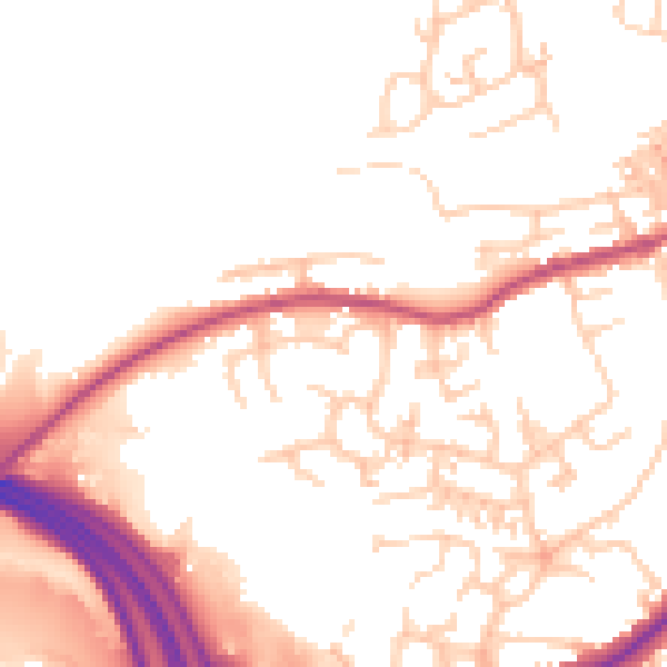
Daytime· 07:00 – 23:00
51.9dB

Night-time· 23:00 – 07:00
43.3dB