19 Bankfield Lane, Rochdale, OL11 5RJ
About 19 Bankfield Lane
19 Bankfield Lane is a four-bedroom detached house in Rochdale (OL11 5RJ). It has a recorded floor area of 137 m² (around 1475 sq ft), construction records dating it to 1967-1975 and council tax band D. Other recorded features include a conservatory. The latest certificate (April 2017) shows a C (score 70). The recommended improvements would push it to B (score 81).
A recent sale: £372,000 in March 2025. One planning record on file: an extension approved in 2005. Past consents include an extension, meaningful when judging how the property has evolved. Across 2017–2025, sale prices on this property compounded at 5.6% per year. On a £-per-square-foot basis, the last sale (£252/sq ft) was about 75.6% above the typical sold price in the postcode.
What this property has
Inside
- Bedrooms4
- Bathrooms2
- Dining roomYes
- Utility roomYes
- CloakroomYes
- EnsuiteYes
- ConservatoryYes
Outside
- Private gardenRear
- GarageDouble, Integral
Everything you need to know about 19 Bankfield Lane
The true value, the hidden risks and the full sale history, in one report.
30-day money-back guarantee

The data behind every report


Energy performance
EPC Rating
Planning history
19 Bankfield Lane has an approved single-storey front extension on the planning record.
- Aug 2005ExtensionFullIn report
Extension: Single storey · Front of property
Single Storey Front Extension To Dwelling.
- Agent
- Hague
- Reference
- 05/D45815
What's in 19 Bankfield Lane, Rochdale, OL11 5RJ's planning history?
Refusals, disputes and full decisions on this property and nearby, in the report.
Sales history & valuation
19 Bankfield Lane valuation sits well clear of the typical sold price in this postcode.
£389,000
Modelled from EPC, postcode comparables and a sale-price growth of 5.6% per year over 8 years.
£372,000
Growth on file: 5.6% per year over 8 years.
Sales timeline
6 March 2025Most recent
£372,000
+51.2%over 7 years19 July 2017
£246,000
Median price across the last 5 sales in OL11 5RJ: £270,000 (2024–2021).
Nearby sales in OL11 5RJ
Versus other Bankfield Lane homes
19 Bankfield Lane is notably below the street on years held.
Price per m²
£2,715
Street avg £1,858
Floor Area
137 m²
Street avg 124 m²
Habitable Rooms
5 rooms
Street avg 6 rooms
CO₂ Emissions
4.8 t/year
Street avg 5.7 t/year
Everything you need to know about 19 Bankfield Lane
The true value, the hidden risks and the full sale history, in one report.
30-day money-back guarantee
The data behind every report
Similar properties nearby
1 Bamford Mews, Norden Road
OL11 5NX
1 Bramley Road
OL11 5QN
1 Aintree Drive
OL11 5SH
1 Caithness Road
OL11 5PB
1 Bridgefold Road
OL11 5BP
1 Broadoak Road
OL11 5JB
1 Chepstow Close
OL11 5TR
1 Bagslate Moor Road
OL11 5XT
The neighbourhood at a glance
Daytime road noise here sits well below conversation level — a quiet pocket of the postcode.
Crime
1/mo
Steady year-on-year across the wider district.
Nearest stop
0.1 km
Bankfield Lane — bus stop.
Closest school
0.6 km
Whittaker Moss Primary School. 17 schools nearby.
Go deeper on the local area
The full report breaks down crime, transport links, schools and air quality in depth.
Road noise across the postcode
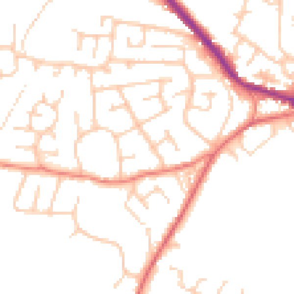
Daytime· 07:00 – 23:00
49.0dB

Night-time· 23:00 – 07:00
38.6dB