18 Bankfield Lane, Rochdale, OL11 5RJ
About 18 Bankfield Lane
18 Bankfield Lane is a three-bedroom semi-detached house in Rochdale (OL11 5RJ). It has a recorded floor area of 104 m² (around 1119 sq ft), construction records dating it to 1950-1966 and council tax band C. The latest certificate (August 2024) shows a D (score 66), on the cusp of jumping into the C band. The recommended improvements would lift it to B (score 86), a 2-band jump. Other recorded features include attached land beyond the plot.
One planning record on file: an extension approved in 2025. Past consents include an extension, meaningful when judging how the property has evolved. Today's modelled estimate of £319,000 is 20.4% above the 2024 sale price. On a £-per-square-foot basis, the last sale (£237/sq ft) was about 64.3% above the typical sold price in the postcode. At 104 m² it's 18.4% smaller than the typical home in the postcode (128 m² median across 18 EPCs). Last sale on file: £265,000 in October 2024.
What this property has
Inside
- Bedrooms3
- Bathrooms1
- Dining roomYes
Outside
- Private gardenFront and rear
- GarageIntegral
- LandYes
Building
- RefurbishedYes
Everything you need to know about 18 Bankfield Lane
The true value, the hidden risks and the full sale history, in one report.
30-day money-back guarantee

The data behind every report


Energy performance
Recommended upgrades on file would lift this property by multiple EPC bands.
EPC Rating
Planning history
18 Bankfield Lane has an approved extension on the planning record.
- Jan 2025ExtensionFullIn report
Front and rear dormer extensions including increase in eaves height
- Reference
- 24/01088/HOUS
What's in 18 Bankfield Lane, Rochdale, OL11 5RJ's planning history?
Refusals, disputes and full decisions on this property and nearby, in the report.
Sales history & valuation
18 Bankfield Lane valuation sits well clear of the typical sold price in this postcode.
£319,000
Modelled from EPC, postcode comparables.
£265,000
Recorded with HM Land Registry.
Sales timeline
24 October 2024Most recent
£265,000
Median price across the last 5 sales in OL11 5RJ: £335,000 (2025–2021).
Nearby sales in OL11 5RJ
Versus other Bankfield Lane homes
On years held, 18 Bankfield Lane runs well behind the street norm.
Price per m²
£2,548
Street avg £1,868
Floor Area
104 m²
Street avg 126 m²
Habitable Rooms
5 rooms
Street avg 6 rooms
CO₂ Emissions
4.6 t/year
Street avg 5.7 t/year
Everything you need to know about 18 Bankfield Lane
The true value, the hidden risks and the full sale history, in one report.
30-day money-back guarantee
The data behind every report
Similar properties nearby
1 Arnside Drive
OL11 5HS
1 Cairn Drive
OL11 5PG
1 Bowker Close
OL11 5FD
1 Broadoak Road
OL11 5JB
1 Chepstow Close
OL11 5TR
1 Bankfield Lane
OL11 5RJ
1 Beaumonds, Meadowcroft Lane
OL11 5HN
1 Bamford Way
OL11 5NA
The neighbourhood at a glance
Daytime road noise here sits well below conversation level — a quiet pocket of the postcode.
Crime
1/mo
Steady year-on-year across the wider district.
Nearest stop
0.1 km
Bankfield Lane — bus stop.
Closest school
0.6 km
Whittaker Moss Primary School. 17 schools nearby.
Go deeper on the local area
The full report breaks down crime, transport links, schools and air quality in depth.
Road noise across the postcode
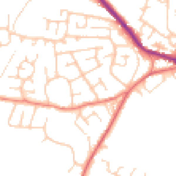
Daytime· 07:00 – 23:00
49.0dB

Night-time· 23:00 – 07:00
38.6dB