2 Black Boy Meadow, Beccles, NR34 9UQ
About 2 Black Boy Meadow
2 Black Boy Meadow is a semi-detached house in Beccles (NR34 9UQ). It has a recorded floor area of 77 m² (around 829 sq ft), construction records dating it to 1950-1966 and council tax band B. The latest certificate (November 2025) shows a C (score 71). The rating has held steady at C across 2 certificates since November 2011. Between certificates, roof efficiency dropped from Good to Average and window efficiency dropped from Average to Poor.
Today's modelled estimate of £192,000 sits 1513.4% above the 2017 sale of £11,900. On a £-per-square-foot basis, the last sale (£14/sq ft) was about 89.5% below the postcode norm. Last changed hands 9 years ago, in November 2017.
Know exactly what you're buying at 2 Black Boy Meadow
Before you offer, see what the listing won't tell you, the true value, the red flags and the full history.
Valuation
against the asking price
Risks
planning & flood
Sold prices
similar homes nearby
Trends
the local market
Energy performance
EPC Rating
Planning history
2 Black Boy Meadow has no planning applications on record.
Notable planning nearby
1applications of note in the surrounding area
Sales history & valuation
Latest sale on 2 Black Boy Meadow was the lowest on Land Registry record across the postcode.
£192,000
Modelled from EPC, postcode comparables.
£11,900
Recorded with HM Land Registry.
Sales timeline
30 November 2017Most recent
£11,900
Median price across the last 5 sales in NR34 9UQ: £170,000 (2024–2018).
Nearby sales in NR34 9UQ
Everything we know about 2 Black Boy Meadow, in one report
What it's really worth, what could be wrong, and the planning, sales and area data in full.
- Am I paying too much?
- Is something wrong with it?
- Is the agent's story true?
- Will it hold its value?

Versus other Black Boy Meadow homes
Price per m² for 2 Black Boy Meadow lags the street by a wide margin.
Price per m²
£155
Street avg £1,889
Floor Area
77 m²
Street avg 81 m²
Habitable Rooms
4 rooms
Street avg 4 rooms
CO₂ Emissions
2.6 t/year
Street avg 3.1 t/year
Similar properties nearby
The neighbourhood at a glance
Rail-style transport is unusually close for this postcode.
Crime
3/mo
Steady year-on-year across the wider district.
Nearest stop
0.1 km
Stuart Drive — bus stop.
Closest school
0.1 km
Ravensmere Infant School. 8 schools nearby.
Go deeper on the local area
The full report breaks down crime, transport links, schools and air quality in depth.
Road noise across the postcode
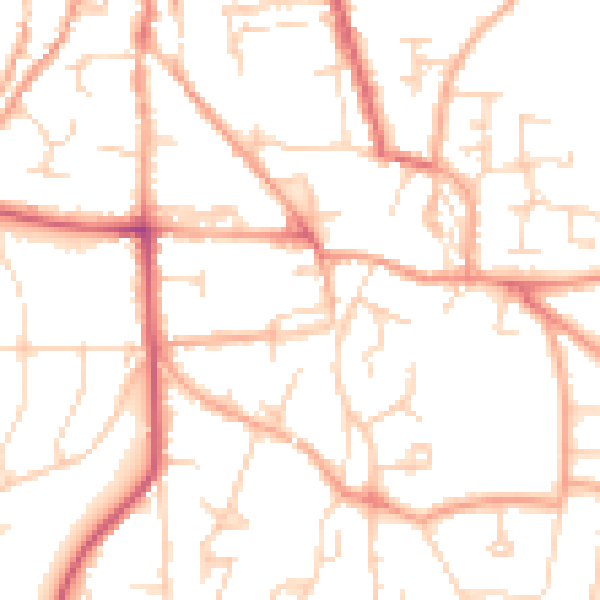
Daytime· 07:00 – 23:00
50.5dB
Night-time· 23:00 – 07:00
39.9dB