Hillside, Cliff Road, Cromer, NR27 0BU
About Hillside
Hillside is a detached house in Cromer (NR27 0BU). It has a recorded floor area of 103 m² (around 1109 sq ft) and construction records dating it to 1950-1966. The latest certificate (March 2017) shows a D (score 65), on the cusp of jumping into the C band. The recommended improvements would push it to C (score 80).
At 103 m² it's 16.4% larger than the typical home in the postcode (89 m² median across 24 EPCs). Today's modelled estimate of £406,000 is 40% above the 2017 sale price. On a £-per-square-foot basis, the last sale (£262/sq ft) was about 22.8% above the typical sold price in the postcode. Last changed hands 9 years ago, in July 2017.
Know exactly what you're buying at Hillside
Before you offer, see what the listing won't tell you, the true value, the red flags and the full history.
Already flagged here
Valuation
against the asking price
Risks
planning & flood
Sold prices
similar homes nearby
Trends
the local market
Energy performance
EPC Rating
Planning history
Hillside has no planning applications on record.
Notable planning nearby
2applications of note in the surrounding area
We flagged 1 thing worth checking at Hillside
Independent checks surfaced things a buyer would want to understand before offering. The report explains each one in full, with the underlying data and what to ask.
- Larger development activity nearby
30-day money-back guarantee
Sales history & valuation
Hillside valuation sits well clear of the typical sold price in this postcode.
£406,000
Modelled from EPC, postcode comparables.
£290,000
Recorded with HM Land Registry.
Sales timeline
13 July 2017Most recent
£290,000
Median price across the last 5 sales in NR27 0BU: £300,000 (2025–2022).
Everything we know about Hillside, in one report
What it's really worth, what could be wrong, and the planning, sales and area data in full.
What we flagged
- Larger development activity nearby

Versus other Cliff Road homes
Hillside outperforms the street on floor area by a wide margin.
Price per m²
£2,816
Street avg £3,084
Floor Area
103 m²
Street avg 89 m²
Habitable Rooms
5 rooms
Street avg 5 rooms
CO₂ Emissions
4.2 t/year
Street avg 5.0 t/year
Similar properties nearby
1 Alexandra Road
NR27 0JB
1 Carrington Road
NR27 0DU
1 Bracken End, Bracken Avenue, Overstrand
NR27 0PA
1 Beach Close, Overstrand
NR27 0PJ
1 Arden Close, Overstrand
NR27 0PH
1 Bridge Close
NR27 0FJ
1 Church Close, Overstrand
NR27 0NY
1 Burgess Close
NR27 0FF
The neighbourhood at a glance
Rail-style transport is unusually close for this postcode.
Crime
3/mo
Steady year-on-year across the wider district.
Nearest stop
1.0 km
Roughton Road Rail Station — railway station.
Closest school
0.4 km
Suffield Park Infant and Nursery School, Cromer. 5 schools nearby.
Go deeper on the local area
The full report breaks down crime, transport links, schools and air quality in depth.
Road noise across the postcode
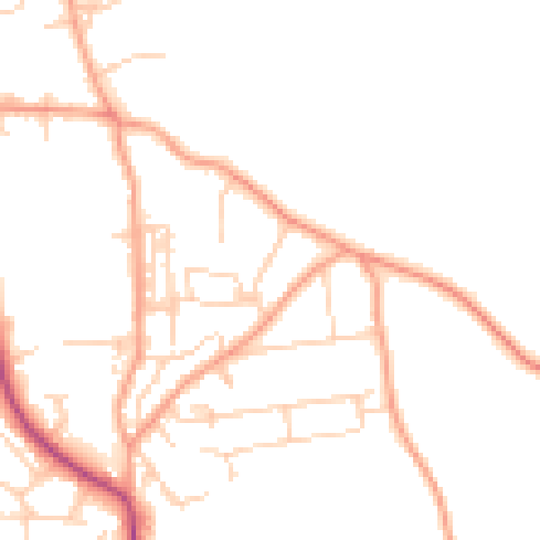
Daytime· 07:00 – 23:00
47.1dB

Night-time· 23:00 – 07:00
38.4dB