4 Montague Road, Sheringham, NR26 8LN
About 4 Montague Road
4 Montague Road is a seven-bedroom semi-detached house in Sheringham (NR26 8LN). It has a recorded floor area of 259 m² (around 2788 sq ft), construction records dating it to 1900-1929 and council tax band E. The latest certificate (June 2020) shows a D (score 57), a step below the typical UK home. When first surveyed in May 2009 the rating was F, the property has climbed 2 bands since. Between certificates, lighting went from Very Poor to Very Good; while roof efficiency dropped from Good to Very Poor. The recommended improvements would push it to C (score 79). Period features are noted in the property record.
At 259 m² the property is well over the postcode median (63 m² across 10 EPCs), placing it in the larger end of the local stock. It lags the bulk of the postcode on energy efficiency (less efficient than 70% of similar EPCs). 7 bedrooms is on the larger side for this postcode, where 3 is the typical count. Across 1997–2023, sale prices on this property compounded at 7.3% per year. On a £-per-square-foot basis, the last sale (£249/sq ft) was about 71.1% above the typical sold price in the postcode. 2 planning records sit against the property, 0 approved, 0 refused. Last sale on file: £695,000 in March 2023.
Know exactly what you're buying at 4 Montague Road
Before you offer, see what the listing won't tell you, the true value, the red flags and the full history.
Already flagged here
Valuation
against the asking price
Risks
planning & flood
Sold prices
similar homes nearby
Trends
the local market
What this property has
Inside
- Bedrooms7
- Bathrooms3
- Dining roomYes
- Utility roomYes
- EnsuiteYes
- FireplaceYes
Outside
- Private gardenYes
Building
- Period featuresYes
Energy performance
4 Montague Road's carbon output runs well above what efficient homes in the postcode produce.
EPC Rating
Property Improvements
Changes detected from historical EPC data
Heating controls upgraded for better temperature management
More low energy lighting installed
Planning history
Planning history at 4 Montague Road is exclusively tree-management applications — typical for a property with mature trees on or near the plot.
- Jan 2019Tree WorksTreesIn report
Silver Birch, Bay, Pussy Willow, Cherry x3, Fern Tree: Crown reduce by 25%. Willow: Removal
- Reference
- TW/19/0014
- Mar 2012Tree WorksTreesIn report
To reduce weeping willow, bay, silver birch, 2 plum, evergreen shrub, pear and fern tree by 20%
- Reference
- TW/12/0102
We flagged 1 thing worth checking at 4 Montague Road
Independent checks surfaced things a buyer would want to understand before offering. The report explains each one in full, with the underlying data and what to ask.
- Larger development activity nearby
30-day money-back guarantee
Sales history & valuation
Price for 4 Montague Road has grown more than fourfold since the 1997 starting point.
£757,000
Modelled from EPC, postcode comparables and a sale-price growth of 7.3% per year over 26 years.
£695,000
Growth on file: 7.3% per year over 26 years.
Sales timeline
27 March 2023Most recent
£695,000
+41.8%over 2 years6 September 2020
£490,000
+50.8%over 10 years12 February 2010
£325,000
+157.9%over 11 years18 June 1998
£126,000
+9.6%over 10 months10 August 1997
£115,000
Median price across the last 5 sales in NR26 8LN: £680,000 (2025–2019).
Nearby sales in NR26 8LN
Everything we know about 4 Montague Road, in one report
What it's really worth, what could be wrong, and the planning, sales and area data in full.
What we flagged
- Larger development activity nearby

Versus other Montague Road homes
4 Montague Road is notably below the street on co₂ emissions.
Price per m²
£2,683
Street avg £4,642
Floor Area
259 m²
Street avg 254 m²
Habitable Rooms
10 rooms
Street avg 9 rooms
CO₂ Emissions
13.0 t/year
Street avg 9.9 t/year
Similar properties nearby
The neighbourhood at a glance
Rail-style transport is unusually close for this postcode.
Crime
2/mo
Steady year-on-year across the wider district.
Nearest stop
0.2 km
Sheringham (North Norfolk Railway) — subway entrance.
Closest school
0.8 km
Sheringham High School. 2 schools nearby.
Go deeper on the local area
The full report breaks down crime, transport links, schools and air quality in depth.
Road noise across the postcode
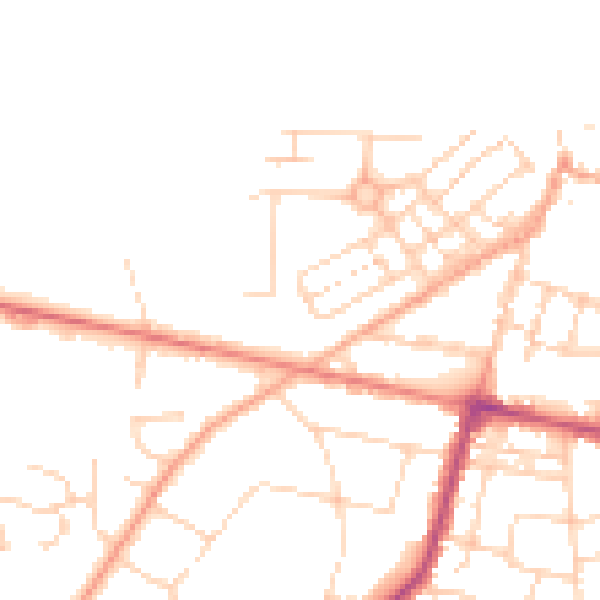
Daytime· 07:00 – 23:00
48.1dB

Night-time· 23:00 – 07:00
38.5dB