59a, Hempstead Road, Holt, NR25 6DQ
About 59a
59a is a semi-detached house in Holt (NR25 6DQ). It has a recorded floor area of 129 m² (around 1389 sq ft). The latest certificate (January 2018) returns a B (score 84), comfortably above the UK average. The recommended improvements would push it to A (score 93).
At 129 m² the property is well over the postcode median (91 m² across 6 EPCs), placing it in the larger end of the local stock. Its energy rating outperforms most of the postcode (better than 83% of similar EPCs). Across 2018–2022, sale prices on this property compounded at 5.1% per year. On a £-per-square-foot basis, the last sale (£306/sq ft) was about 54.5% above the typical sold price in the postcode. Sold September 2022 for £425,000. That sale was during the post-pandemic price surge, when transactions cleared materially above pre-2020 trend.
Know exactly what you're buying at 59a
Before you offer, see what the listing won't tell you, the true value, the red flags and the full history.
Already flagged here
Valuation
against the asking price
Risks
planning & flood
Sold prices
similar homes nearby
Trends
the local market
Energy performance
EPC Rating
Planning history
59a has no planning applications on record.
Notable planning nearby
2applications of note in the surrounding area
We flagged 1 thing worth checking at 59a
Independent checks surfaced things a buyer would want to understand before offering. The report explains each one in full, with the underlying data and what to ask.
- Larger development activity nearby
30-day money-back guarantee
Sales history & valuation
Latest sale on 59a was the highest on Land Registry record across the postcode.
£453,000
Modelled from EPC, postcode comparables and a sale-price growth of 5.1% per year over 4 years.
£425,000
Growth on file: 5.1% per year over 4 years.
Sales timeline
22 September 2022Most recent
£425,000
+25.0%over 4 years12 April 2018
£340,000
Median price across the last 5 sales in NR25 6DQ: £265,000 (2023–2018).
Everything we know about 59a, in one report
What it's really worth, what could be wrong, and the planning, sales and area data in full.
What we flagged
- Larger development activity nearby

Versus other Hempstead Road homes
On co₂ emissions, 59a stands well clear of the street.
Price per m²
£3,295
Street avg £2,768
Floor Area
129 m²
Street avg 99 m²
CO₂ Emissions
2.0 t/year
Street avg 4.1 t/year
Years Held
4 years
Street avg 6 years
Similar properties nearby
1 Carpenters Cottages, Norwich Road
NR25 6SA
1 Bryony Court
NR25 6AF
1 Barrett Road
NR25 6EQ
1 Arkell Avenue
NR25 6FQ
1 Caston Close
NR25 6PD
1 Ainsworth Road
NR25 6FE
1 Blackthorn Avenue
NR25 6TY
1 Cherry Tree Close
NR25 6GZ
The neighbourhood at a glance
Daytime road noise here sits well below conversation level — a quiet pocket of the postcode.
Crime
1/mo
Steady year-on-year across the wider district.
Nearest stop
1.4 km
Holt (North Norfolk Railway) — subway entrance.
Closest school
0.8 km
Holt Community Primary School. 1 school nearby.
Go deeper on the local area
The full report breaks down crime, transport links, schools and air quality in depth.
Road noise across the postcode
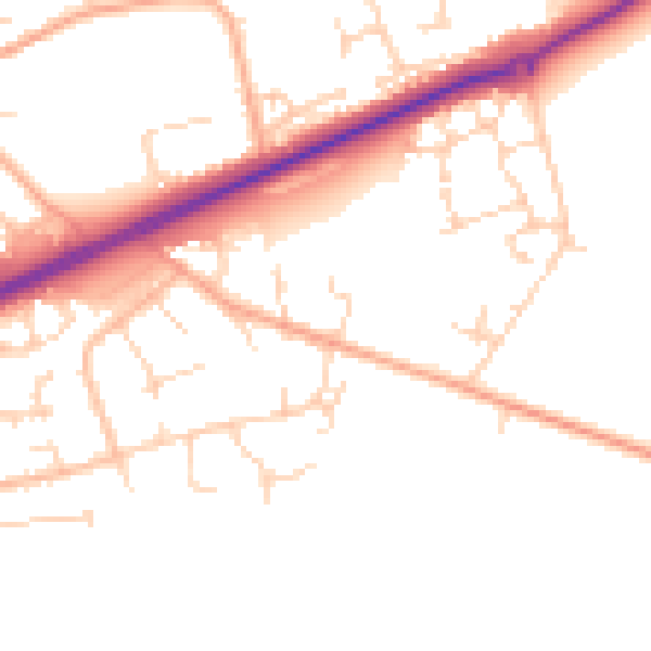
Daytime· 07:00 – 23:00
49.4dB

Night-time· 23:00 – 07:00
40.1dB