43 Hempstead Road, Holt, NR25 6DQ
About 43 Hempstead Road
43 Hempstead Road is a three-bedroom end-of-terrace house in Holt (NR25 6DQ). It has a recorded floor area of 73 m² (around 786 sq ft), construction records dating it to 1900-1929 and council tax band B. The property has solar panels on record, all of which lower running costs and tend to lift resale appeal. The latest certificate (October 2022) shows a D (score 61), on the cusp of jumping into the C band. The rating has held steady at D across 2 certificates since January 2012. Between certificates, window efficiency went from Average to Good and lighting went from Good to Very Good; while wall efficiency dropped from Good to Very Poor. The recommended improvements would lift it to B (score 86), a 2-band jump.
At 73 m² it sits well below the postcode median (117 m² across 6 EPCs), making it one of the more compact homes locally. Last sale on file: £308,000 in February 2023. Across the public record there are 4 sales, relatively high churn for a single property. One planning record on file: an extension approved in 2023. Past consents include an extension, meaningful when judging how the property has evolved. Across 2002–2023, sale prices on this property compounded at 5.2% per year. On a £-per-square-foot basis, the last sale (£392/sq ft) was about 97.9% above the typical sold price in the postcode.
Know exactly what you're buying at 43 Hempstead Road
Before you offer, see what the listing won't tell you, the true value, the red flags and the full history.
Already flagged here
Valuation
against the asking price
Risks
planning & flood
Sold prices
similar homes nearby
Trends
the local market
What this property has
Inside
- Bedrooms3
- Bathrooms2
- Open-plan layoutYes
- Dining roomYes
- Utility roomYes
- CloakroomYes
Outside
- Private gardenYes
Building
- Solar panelsYes
Energy performance
Recommended upgrades on file would lift this property by multiple EPC bands.
EPC Rating
Property Improvements
Changes detected from historical EPC data
Window efficiency improved
More low energy lighting installed
Planning history
43 Hempstead Road has an approved side and rear extension on the planning record.
- Mar 2023ExtensionFullIn report
Extension: Side and rear of property
Single/two storey side/rear extension to dwelling following removal of existing lean-to
- Agent
- Andy Blake Architectural Technician
- Documents
- 26 docs on file
- Reference
- PF/23/0105
We flagged 1 thing worth checking at 43 Hempstead Road
Independent checks surfaced things a buyer would want to understand before offering. The report explains each one in full, with the underlying data and what to ask.
- Larger development activity nearby
30-day money-back guarantee
Sales history & valuation
43 Hempstead Road has more than doubled in price since the earliest registered sale in 2002.
£317,000
Modelled from EPC, postcode comparables and a sale-price growth of 5.2% per year over 20 years.
£308,000
Growth on file: 5.2% per year over 20 years.
Sales timeline
17 February 2023Most recent
£308,000
+29.1%over 4 years2 November 2018
£238,500
+31.8%over 6 years30 September 2012
£181,000
+66.8%over 10 years25 September 2002
£108,500
Median price across the last 5 sales in NR25 6DQ: £265,000 (2023–2018).
Everything we know about 43 Hempstead Road, in one report
What it's really worth, what could be wrong, and the planning, sales and area data in full.
What we flagged
- Larger development activity nearby

Versus other Hempstead Road homes
Price per m² for 43 Hempstead Road runs comfortably ahead of the street norm.
Price per m²
£4,219
Street avg £2,614
Floor Area
73 m²
Street avg 108 m²
Habitable Rooms
4 rooms
Street avg 4 rooms
CO₂ Emissions
3.9 t/year
Street avg 3.8 t/year
Similar properties nearby
1 Camp Farm, West Beckham
NR25 6PL
1 Beresford Road
NR25 6EW
1 Caston Close
NR25 6PD
1 Charles Road
NR25 6DA
1 Church Cottage, The Street, Hempstead
NR25 6AH
1 Barn Owl Drive
NR25 6GP
1 Ainsworth Road
NR25 6FE
1 Arnott Road
NR25 6EP
The neighbourhood at a glance
Daytime road noise here sits well below conversation level — a quiet pocket of the postcode.
Crime
1/mo
Steady year-on-year across the wider district.
Nearest stop
1.4 km
Holt (North Norfolk Railway) — subway entrance.
Closest school
0.8 km
Holt Community Primary School. 1 school nearby.
Go deeper on the local area
The full report breaks down crime, transport links, schools and air quality in depth.
Road noise across the postcode
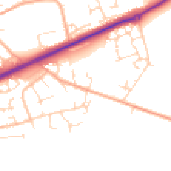
Daytime· 07:00 – 23:00
49.4dB

Night-time· 23:00 – 07:00
40.1dB