11 Baysdale Drive, Forest Town, Mansfield, NG19 0QY
About 11 Baysdale Drive
11 Baysdale Drive is a five-bedroom detached house in Forest Town, Mansfield, Mansfield (NG19 0QY). It has a recorded floor area of 143 m² (around 1539 sq ft), construction records dating it to 1996-2002 and council tax band D. The latest certificate (October 2018) shows a D (score 67), on the cusp of jumping into the C band. The recommended improvements would lift it to B (score 81), a 2-band jump.
3 planning records sit against the property, 1 approved, 1 refused. Past consents include change of use to residential, meaningful when judging how the property has evolved. Across 2003–2021, sale prices on this property compounded at 2.9% per year. Today's modelled estimate of £351,000 is 25.4% above the 2021 sale price. On a £-per-square-foot basis, the last sale (£182/sq ft) was about 59.6% above the typical sold price in the postcode. Most recent transfer: August 2021 at £280,000. That sale was during the post-pandemic price surge, when transactions cleared materially above pre-2020 trend.
What this property has
Inside
- Bedrooms5
- Bathrooms2
- Dining roomYes
- EnsuiteYes
Everything you need to know about 11 Baysdale Drive
The true value, the hidden risks and the full sale history, in one report.
Pick your report · every report is £14.99
One time fee only - money back guarantee

The data behind every report


Energy performance
Recommended upgrades on file would lift this property by multiple EPC bands.
EPC Rating
Get a survey for this property
Level 2 HomeBuyer Report
We've checked 10 risk factors against the available data for this property and believe a Level 2 HomeBuyer Report could be a suitable option for you.
From £595 · Includes VAT
Planning history
3 applications on record at 11 Baysdale Drive, Forest Town, Mansfield, NG19 0QY
- Jun 2014Change of UseFullOutcome in report
CHANGE OF USE FROM RESIDENTIAL TO RESIDENTIAL WITH CHILDMINDING
- Documents
- 4 docs on file
- Reference
- 2014/0101/NT
- More recent applications — locked
- Change of UseFeb 2018Decision
- Change of UseJul 2017Decision
Unlock 11 Baysdale Drive, Forest Town, Mansfield, NG19 0QY's full planning history
You're seeing the shape of it. The report has the substance.
- Every decision — granted, refused or withdrawn (2 on record)
- All 3 applications on this property in full, plus 1 notable nearby
- The 21 documents, officer reports & conditions
- What the pattern means for extending or converting here
One time fee only - money back guarantee
Sales history & valuation
The latest sale landed in the post-pandemic price surge — useful context when reading the figure.
£351,000
Modelled from EPC, postcode comparables and a sale-price growth of 2.9% per year over 18 years.
£280,000
Growth on file: 2.9% per year over 18 years.
Sales timeline
19 August 2021Most recent
£280,000
+14.8%over 2 years6 June 2019
£244,000
+45.3%over 15 years5 November 2003
£167,950
Median price across the last 5 sales in NG19 0QY: £219,950 (2019–2013).
Nearby sales in NG19 0QY
18 Baysdale Drive, Forest Town, Mansfield, NG19 0QY
Sold Nov 2019
£317,5003 Baysdale Drive, Forest Town, Mansfield, NG19 0QY
Sold Jun 2016
£249,95017 Baysdale Drive, Forest Town, Mansfield, NG19 0QY
Sold May 2015
£184,10016 Baysdale Drive, Forest Town, Mansfield, NG19 0QY
Sold Jun 2014
£219,95022 Baysdale Drive, Forest Town, Mansfield, NG19 0QY
Sold Dec 2013
£219,950
Versus other Baysdale Drive homes
Years Held for 11 Baysdale Drive lags the street by a wide margin.
Price per m²
£1,958
Street avg £1,635
Floor Area
143 m²
Street avg 126 m²
Habitable Rooms
8 rooms
Street avg 7 rooms
CO₂ Emissions
5.4 t/year
Street avg 4.3 t/year
Everything you need to know about 11 Baysdale Drive
The true value, the hidden risks and the full sale history, in one report.
Pick your report · every report is £14.99
One time fee only - money back guarantee
The data behind every report
Similar properties nearby
1 Butterwick Close, Forest Town
NG19 0QP
1 Albans Court, Forest Town
NG19 0GD
1 Baysdale Drive, Forest Town
NG19 0QY
1 Baldwin Close, Forest Town
NG19 0LR
1 Brackmills Close, Forest Town
NG19 0PB
1 Bransdale Heights, Forest Town
NG19 0RU
1 Birch Tree Close, Forest Town
NG19 0LF
1 Broadleaf Drive, Forest Town
NG19 0RX
The neighbourhood at a glance
Crime
3/mo
Steady year-on-year across the wider district.
Nearest stop
0.3 km
ASDA — bus stop.
Closest school
0.1 km
Heatherley Primary School. 27 schools nearby.
Go deeper on the local area
A Local Area report breaks down crime, transport links, schools and air quality in depth.
Road noise across the postcode
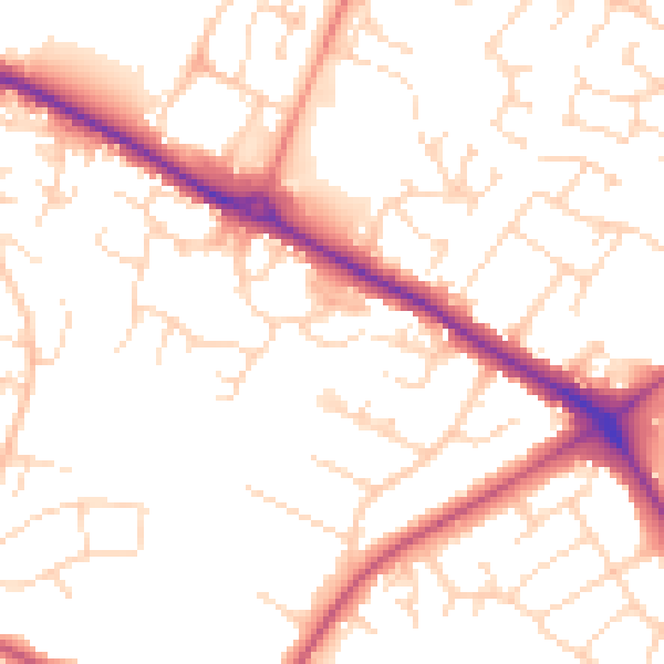
Daytime· 07:00 – 23:00
51.7dB

Night-time· 23:00 – 07:00
41.4dB