19 Forest Grove, Nottingham, NG1 4HS
About 19 Forest Grove
19 Forest Grove is a three-bedroom detached house in Nottingham (NG1 4HS). It has a recorded floor area of 82 m² (around 883 sq ft), construction records dating it to 1900-1929 and council tax band B. The latest certificate (January 2021) shows an E (score 50), well below the UK norm with real room to improve. The rating has held steady at E across 3 certificates since November 2009. Between certificates, lighting went from Good to Very Good; while roof efficiency dropped from Good to Very Poor. The recommended improvements would lift it to B (score 85), a 3-band jump.
One planning application is currently pending a decision in 2014. The record references conservation-area consent, which constrain future alterations. Across 2001–2022, sale prices on this property compounded at 4.3% per year. On a £-per-square-foot basis, the last sale (£246/sq ft) was about 84.3% above the typical sold price in the postcode. Sold June 2022 for £217,500. That sale was during the post-pandemic price surge, when transactions cleared materially above pre-2020 trend.
What this property has
Inside
- Bedrooms3
- Bathrooms1
- EnsuiteYes
- StudyYes
Outside
- ParkingYes
Everything you need to know about 19 Forest Grove
The true value, the hidden risks and the full sale history, in one report.
Pick your report · every report is £14.99
One time fee only - money back guarantee

The data behind every report


Energy performance
Recommended upgrades on file would lift this property by multiple EPC bands.
EPC Rating
Property Improvements
Changes detected from historical EPC data
Wall insulation improved
More low energy lighting installed
Get a survey for this property
Level 3 Building Survey
Because the property was built before 1919 and has solid (non-cavity) walls, we believe a Level 3 building survey should be considered.
From £885 · Includes VAT
Planning history
19 Forest Grove sits within a conservation area — exterior works face additional planning controls.
1 application on record at 19 Forest Grove, Nottingham, NG1 4HS
- Jul 2014Tree WorksTreesOutcome in report
Works to trees within a conservation area as per submitted details.
Conservation Area- Documents
- 1 doc on file
- Reference
- 14/01823/PWC
Unlock 19 Forest Grove, Nottingham, NG1 4HS's full planning history
You're seeing the shape of it. The report has the substance.
- Every decision — granted, refused or withdrawn
- All 1 application on this property in full, plus 16 notable nearby
- The 1 documents, officer reports & conditions
- What the pattern means for extending or converting here
One time fee only - money back guarantee
Sales history & valuation
Sale price has at least doubled since 2001.
£237,000
Modelled from EPC, postcode comparables and a sale-price growth of 4.3% per year over 21 years.
£217,500
Growth on file: 4.3% per year over 21 years.
Sales timeline
12 June 2022Most recent
£217,500
+141.7%over 21 years30 May 2001
£90,000
Median price across the last 5 sales in NG1 4HS: £180,000 (2021–2016).
Nearby sales in NG1 4HS
Versus other Forest Grove homes
Years Held for 19 Forest Grove lags the street by a wide margin.
Price per m²
£2,652
Street avg £40,934
Floor Area
82 m²
Street avg 102 m²
Habitable Rooms
5 rooms
Street avg 5 rooms
CO₂ Emissions
5.5 t/year
Street avg 5.2 t/year
Everything you need to know about 19 Forest Grove
The true value, the hidden risks and the full sale history, in one report.
Pick your report · every report is £14.99
One time fee only - money back guarantee
The data behind every report
Similar properties nearby
The neighbourhood at a glance
Rail-style transport is unusually close for this postcode.
Crime
39/mo
Rising year-on-year across the wider district.
Nearest stop
0.2 km
Forest Road — bus stop.
Closest school
0.6 km
Bluecoat Trent Academy. 43 schools nearby.
Go deeper on the local area
A Local Area report breaks down crime, transport links, schools and air quality in depth.
Road noise across the postcode
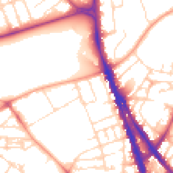
Daytime· 07:00 – 23:00
53.8dB
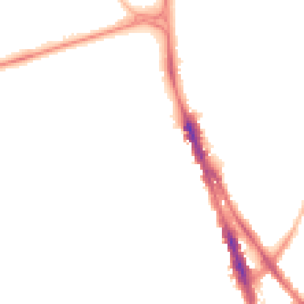
Night-time· 23:00 – 07:00
43.5dB