14 Annesley Grove, Nottingham, NG1 4GU
About 14 Annesley Grove
14 Annesley Grove is a five-bedroom mid-terrace house in Nottingham (NG1 4GU). It has a recorded floor area of 143 m² (around 1539 sq ft), construction records dating it to 1900-1929 and council tax band B. The latest certificate (June 2022) shows a D (score 60), on the cusp of jumping into the C band. When first surveyed in February 2012 the rating was E, the property has climbed 1 band since. Between certificates, window efficiency went from Very Poor to Good. The recommended improvements would push it to C (score 80). Other recorded features include outbuildings. The home occupies a corner plot.
At 143 m² the property is well over the postcode median (86 m² across 22 EPCs), placing it in the larger end of the local stock. Across 2004–2014, sale prices on this property compounded at -1.1% per year. Today's modelled estimate of £284,000 is 29.1% above the 2014 sale price. On a £-per-square-foot basis, the last sale (£143/sq ft) was about 29.2% below the postcode norm. Last changed hands 12 years ago, in May 2014.
What this property has
Inside
- Bedrooms5
- Bathrooms1
- CloakroomYes
Outside
- OutbuildingsYes
- Corner plotYes
Everything you need to know about 14 Annesley Grove
The true value, the hidden risks and the full sale history, in one report.
Pick your report · every report is £14.99
One time fee only - money back guarantee

The data behind every report


Energy performance
14 Annesley Grove's carbon output runs well above what efficient homes in the postcode produce.
EPC Rating
Property Improvements
Changes detected from historical EPC data
Windows upgraded, improving insulation
Get a survey for this property
Level 3 Building Survey
Because the property was built before 1919, has solid (non-cavity) walls, and has permanent outbuildings, we believe a Level 3 building survey should be considered.
From £885 · Includes VAT
Planning history
14 Annesley Grove has no planning applications on record.
But the area is active
16 notable applications nearby — larger schemes and conversions that could reshape the street. The report maps them all.
Sales history & valuation
14 Annesley Grove's sale-price growth has lagged the wider UK trajectory across its history on file.
£284,000
Modelled from EPC, postcode comparables and a sale-price growth of -1.1% per year over 10 years.
£220,000
Growth on file: -1.1% per year over 10 years.
Sales timeline
19 May 2014Most recent
£220,000
-3.5%over 5 years28 July 2008
£228,000
-6.9%over 4 years29 April 2004
£244,950
Median price across the last 5 sales in NG1 4GU: £335,000 (2021–2007).
Nearby sales in NG1 4GU
16 Annesley Grove, Nottingham, NG1 4GU
Sold Aug 2021
£350,00010 Annesley Grove, Nottingham, NG1 4GU
Sold Jun 2021
£290,000Flat A, 24 Annesley Grove, Nottingham, NG1 4GU
Sold Mar 2015
£250,000Flat 2, 26 Annesley Grove, Nottingham, NG1 4GU
Sold Jul 2007
£405,0004 Annesley Grove, Nottingham, NG1 4GU
Sold Dec 2001
£138,000
Versus other Annesley Grove homes
On co₂ emissions, 14 Annesley Grove runs well behind the street norm.
Price per m²
£1,538
Street avg £2,110
Floor Area
143 m²
Street avg 118 m²
Habitable Rooms
7 rooms
Street avg 6 rooms
CO₂ Emissions
6.6 t/year
Street avg 5.6 t/year
Everything you need to know about 14 Annesley Grove
The true value, the hidden risks and the full sale history, in one report.
Pick your report · every report is £14.99
One time fee only - money back guarantee
The data behind every report
Similar properties nearby
The neighbourhood at a glance
Rail-style transport is unusually close for this postcode.
Crime
39/mo
Rising year-on-year across the wider district.
Nearest stop
0.1 km
Frogmore Street — bus stop.
Closest school
0.5 km
Huntingdon Academy. 44 schools nearby.
Go deeper on the local area
A Local Area report breaks down crime, transport links, schools and air quality in depth.
Road noise across the postcode
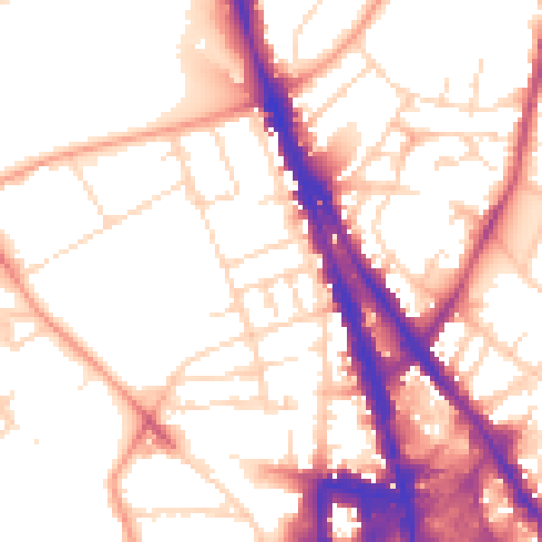
Daytime· 07:00 – 23:00
54.6dB

Night-time· 23:00 – 07:00
44.4dB