62 Donvale Road, Washington, NE37 1DQ
About 62 Donvale Road
62 Donvale Road is a three-bedroom mid-terrace house in Washington (NE37 1DQ). It has a recorded floor area of 86 m² (around 926 sq ft), construction records dating it to 1950-1966 and council tax band A. The latest certificate (September 2016) shows a D (score 60), on the cusp of jumping into the C band. The recommended improvements would push it to C (score 79).
Across 2021–2023, sale prices on this property compounded at 17% per year. On a £-per-square-foot basis, the last sale (£132/sq ft) was about 35.5% above the typical sold price in the postcode. Most recent transfer: September 2023 at £122,500.
Know exactly what you're buying at 62 Donvale Road
Before you offer, see what the listing won't tell you, the true value, the red flags and the full history.
Launch offer · save £5
Valuation
against the asking price
Risks
planning & flood
Sold prices
similar homes nearby
Trends
the local market
What this property has
Inside
- Bedrooms3
- Bathrooms1
- CloakroomYes
Building
- RefurbishedYes
Energy performance
EPC Rating
Planning history
62 Donvale Road has no planning applications on record.
The full report still covers planning activity across the surrounding area.
Sales history & valuation
Latest sale on 62 Donvale Road was the highest on Land Registry record across the postcode.
£134,000
Modelled from EPC, postcode comparables and a sale-price growth of 17.0% per year over 2 years.
£122,500
Growth on file: 17.0% per year over 2 years.
Sales timeline
21 September 2023Most recent
£122,500
+47.6%over 2 years31 March 2021
£83,000
Median price across the last 5 sales in NE37 1DQ: £66,538 (2025–2023).
Nearby sales in NE37 1DQ
Everything we know about 62 Donvale Road, in one report
What it's really worth, what could be wrong, and the planning, sales and area data in full.
- Am I paying too much?
- Is something wrong with it?
- Is the agent's story true?
- Will it hold its value?

Versus other Donvale Road homes
On years held, 62 Donvale Road runs well behind the street norm.
Price per m²
£1,424
Street avg £1,182
Floor Area
86 m²
Street avg 85 m²
Habitable Rooms
5 rooms
Street avg 4 rooms
CO₂ Emissions
4.6 t/year
Street avg 3.4 t/year
Similar properties nearby
The neighbourhood at a glance
Reported crime in the wider district is trending notably upward year-on-year.
Crime
5/mo
Rising year-on-year across the wider district.
Nearest stop
0.2 km
Parsons Road — bus stop.
Closest school
0.5 km
George Washington Primary School. 28 schools nearby.
Go deeper on the local area
The full report breaks down crime, transport links, schools and air quality in depth.
Road noise across the postcode
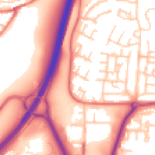
Daytime· 07:00 – 23:00
57.6dB
Night-time· 23:00 – 07:00
47.0dB