7 Brentwood Avenue, Newcastle Upon Tyne, NE2 3DH
About 7 Brentwood Avenue
7 Brentwood Avenue is a five-bedroom end-of-terrace house in Newcastle Upon Tyne (NE2 3DH). It has a recorded floor area of 106 m² (around 1141 sq ft), construction records dating it to 1900-1929 and council tax band B. The latest certificate (October 2018) shows a D (score 64), on the cusp of jumping into the C band. The rating has held steady at D across 2 certificates since November 2008. Between certificates, lighting went from Very Poor to Very Good. The recommended improvements would push it to C (score 77).
Held since March 2001 — that's 25 years off the open market, well above the local norm. Across 1999–2001, sale prices on this property compounded at 22.8% per year. Today's modelled estimate of £268,000 sits 206.3% above the 2001 sale of £87,500. On a £-per-square-foot basis, the last sale (£77/sq ft) was about 34.5% below the postcode norm. 2 planning records sit against the property, 1 approved, 1 refused. Past consents include a loft conversion, meaningful when judging how the property has evolved.
Know exactly what you're buying at 7 Brentwood Avenue
Before you offer, see what the listing won't tell you, the true value, the red flags and the full history.
Already flagged here
Valuation
against the asking price
Risks
planning & flood
Sold prices
similar homes nearby
Trends
the local market
What this property has
Inside
- Bedrooms5
Energy performance
EPC Rating
Property Improvements
Changes detected from historical EPC data
Heating controls changed
Windows upgraded, improving insulation
More low energy lighting installed
Planning history
- Jun 2006Loft ConversionFullIn report
Installation of two rooflights to front elevation, one rooflight to rear and one rooflight to side to provide three bedrooms and bathroom in roofspace.
- Reference
- 2006/1068/01/DET
- Feb 2000Loft ConversionFullIn report
Installation of rooflights to front to provide additional bedrooms in roof space
- Reference
- 2000/0090/01/DET
We flagged 2 things worth checking at 7 Brentwood Avenue
Independent checks surfaced things a buyer would want to understand before offering. The report explains each one in full, with the underlying data and what to ask.
- Signs of HMO activity in the area
- Recent ownership pattern worth a look
30-day money-back guarantee
Sales history & valuation
7 Brentwood Avenue's modelled value sits at over four times its earliest registered sale price (1999).
£268,000
Modelled from EPC, postcode comparables and a sale-price growth of 22.8% per year over 1 year.
£87,500
Growth on file: 22.8% per year over 1 year.
Sales timeline
20 March 2001Most recent
£87,500
+30.6%over 1 year1 December 1999
£67,000
Median price across the last 5 sales in NE2 3DH: £290,000 (2022–2006).
Nearby sales in NE2 3DH
14 16, Flat, Brentwood Avenue, Newcastle Upon Tyne, NE2 3DH
Sold Oct 2022
£285,0005 Brentwood Avenue, Newcastle Upon Tyne, NE2 3DH
Sold May 2019
£290,00011 Brentwood Avenue, Newcastle Upon Tyne, NE2 3DH
Sold May 2010
£350,0001 Brentwood Avenue, Newcastle Upon Tyne, NE2 3DH
Sold Apr 2004
£295,00018 Brentwood Avenue, Newcastle Upon Tyne, NE2 3DH
Sold Mar 2003
£121,500
Everything we know about 7 Brentwood Avenue, in one report
What it's really worth, what could be wrong, and the planning, sales and area data in full.
What we flagged
- Signs of HMO activity in the area
- Recent ownership pattern worth a look

Versus other Brentwood Avenue homes
7 Brentwood Avenue is notably below the street on price per m².
Price per m²
£825
Street avg £1,819
Floor Area
106 m²
Street avg 125 m²
Habitable Rooms
6 rooms
Street avg 6 rooms
CO₂ Emissions
4.8 t/year
Street avg 6.2 t/year
Similar properties nearby
1 Brentwood Avenue
NE2 3DH
1 Holmwood Grove
NE2 3DS
1 Crossway, Jesmond
NE2 3QH
1 Highbury
NE2 3BX
1 Kingswood Avenue
NE2 3NS
1 Haldane Terrace
NE2 3AN
1 Honister Avenue
NE2 3PA
1 Hillcrest Gardens
NE2 3QR
The neighbourhood at a glance
Rail-style transport is unusually close for this postcode.
Crime
5/mo
Steady year-on-year across the wider district.
Nearest stop
0.2 km
West Jesmond (Tyne and Wear Metro Station) — subway entrance.
Closest school
0.1 km
West Jesmond Primary School. 35 schools nearby.
Go deeper on the local area
The full report breaks down crime, transport links, schools and air quality in depth.
Road noise across the postcode
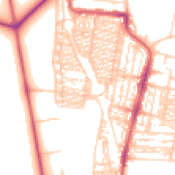
Daytime· 07:00 – 23:00
54.0dB
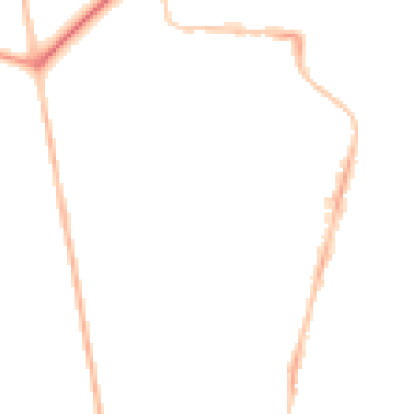
Night-time· 23:00 – 07:00
43.3dB