114 Warham Road, Haringey, London, N4 1AU
About 114 Warham Road
114 Warham Road is a two-bedroom mid-terrace house in Haringey, London, London (N4 1AU). It has a recorded floor area of 76 m² (around 818 sq ft), construction records dating it to 1900-1929 and council tax band C. At 76 m² this is the 3rd smallest of 13 units on EPC record in the building, where floor areas span 14–145 m². The building's EPC ratings span F to C, with this unit at the top. The latest certificate (July 2024) shows a C (score 72). When first surveyed in September 2011 the rating was D, the property has climbed 1 band since. Between certificates, lighting went from Good to Very Good.
It hasn't traded since May 2011, a hold of 15 years that's notably long for the area. Across the public record there are 6 sales, relatively high churn for a single property. Across 2004–2011, sale prices on this property compounded at 3.7% per year. Today's modelled estimate of £484,000 sits 87.6% above the 2011 sale of £258,000. At 76 m² it sits well below the postcode median (117 m² across 14 EPCs), making it one of the more compact homes locally. Its energy rating outperforms most of the postcode (better than 79% of similar EPCs).
Know exactly what you're buying at 114 Warham Road
Before you offer, see what the listing won't tell you, the true value, the red flags and the full history.
Already flagged here
Valuation
against the asking price
Risks
planning & flood
Sold prices
similar homes nearby
Trends
the local market
What this property has
Inside
- Bedrooms2
- Bathrooms1
- Dining roomYes
Outside
- Private gardenYes
Energy performance
EPC Rating
Property Improvements
Changes detected from historical EPC data
Heating controls upgraded for better temperature management
More low energy lighting installed
Heating controls changed
More low energy lighting installed
Heating controls upgraded for better temperature management
Planning history
114 Warham Road has no planning applications on record.
Notable planning nearby
31applications of note in the surrounding area
We flagged 2 things worth checking at 114 Warham Road
Independent checks surfaced things a buyer would want to understand before offering. The report explains each one in full, with the underlying data and what to ask.
- Signs of HMO activity in the area
- Larger development activity nearby
30-day money-back guarantee
Sales history & valuation
114 Warham Road has changed hands more often than typical for the area.
£484,000
Modelled from EPC, postcode comparables and a sale-price growth of 3.7% per year over 7 years.
£258,000
Growth on file: 3.7% per year over 7 years.
Sales timeline
3 May 2011Most recent
£258,000
+3.2%over 4 years12 January 2007
£250,000
16 July 2006
£249,950
+21.9%over 1 year7 October 2004
£205,000
+2.5%21 September 2004
£200,000
28 March 2004
£200,000
Median price across the last 5 sales in N4 1AU: £840,000 (2024–2012).
Nearby sales in N4 1AU
Everything we know about 114 Warham Road, in one report
What it's really worth, what could be wrong, and the planning, sales and area data in full.
What we flagged
- Signs of HMO activity in the area
- Larger development activity nearby

Versus other Warham Road homes
114 Warham Road is notably below the street on price per m².
Price per m²
£3,395
Street avg £7,613
Floor Area
76 m²
Street avg 76 m²
Habitable Rooms
3 rooms
Street avg 3 rooms
CO₂ Emissions
2.4 t/year
Street avg 2.9 t/year
Similar properties nearby
1 Portland Gardens, Haringey
N4 1HU
1 Doncaster Gardens, Haringey
N4 1HX
1 Coningsby Road, Haringey
N4 1EG
1 Ashfield Road, Haringey
N4 1PU
1 Railway Approach, Haringey
N4 1RG
1 Hermitage Road, Haringey
N4 1DF
1 Bankside Place, Vale Terrace, Haringey
N4 1LT
1 Atterbury Road, Haringey
N4 1SF
The neighbourhood at a glance
Rail-style transport is unusually close for this postcode.
Crime
15/mo
Rising year-on-year across the wider district.
Nearest stop
0.1 km
Mattison Road — bus stop.
Closest school
0.1 km
South Harringay Junior School. 78 schools nearby.
Go deeper on the local area
The full report breaks down crime, transport links, schools and air quality in depth.
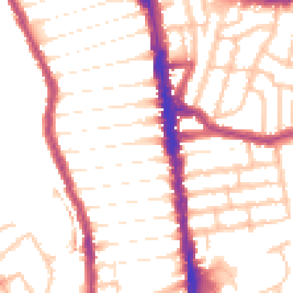
Road noise across the postcode
Daytime· 07:00 – 23:00
52.2dB

Night-time· 23:00 – 07:00
43.0dB