15 Sirdar Road, Haringey, London, N22 6QP
About 15 Sirdar Road
15 Sirdar Road is a mid-terrace house in Haringey, London, London (N22 6QP). It has a recorded floor area of 114 m² (around 1232 sq ft), construction records dating it to 1900-1929 and council tax band E. The latest certificate (December 2009) shows an F (score 36), near the bottom of the EPC scale. The recommended improvements would lift it to D (score 60), a 2-band jump. The latest certificate is from December 2009, so improvements made since then won't be reflected.
Untraded for 24 years, with the last transfer in April 2002. Across 1997–2002, sale prices on this property compounded at 18.2% per year. Today's modelled estimate of £578,000 sits 261.3% above the 2002 sale of £160,000. On a £-per-square-foot basis, the last sale (£130/sq ft) was about 60.7% below the postcode norm. It lags the bulk of the postcode on energy efficiency (less efficient than 88% of similar EPCs). 3 planning records sit against the property, 0 approved, 1 refused.
Know exactly what you're buying at 15 Sirdar Road
Before you offer, see what the listing won't tell you, the true value, the red flags and the full history.
Already flagged here
Valuation
against the asking price
Risks
planning & flood
Sold prices
similar homes nearby
Trends
the local market
Energy performance
15 Sirdar Road's carbon output runs well above what efficient homes in the postcode produce.
EPC Expired
This certificate is over 10 years old and is no longer valid.Expired 01 Dec 2019
EPC Rating
Planning history
Council records show a subdivision application — the property's legal arrangement has been altered.
- Mar 2001SubdivisionFullIn report
Extension: Single storey · Rear of property
Erection of a single storey rear extension and the conversion of the property into 2 self contained flats (1 x 2 bed and 1 x 3 bed)
Extension- Documents
- 1 doc on file
- Reference
- HGY/2001/0015
- Dec 2000ExtensionOutlineIn report
Extension: Single storey · Rear of property
Erection of single storey rear extension to create additional living accommodation.
- Documents
- 1 doc on file
- Reference
- HGY/2000/1489
We flagged 2 things worth checking at 15 Sirdar Road
Independent checks surfaced things a buyer would want to understand before offering. The report explains each one in full, with the underlying data and what to ask.
- Signs of HMO activity in the area
- Larger development activity nearby
30-day money-back guarantee
Sales history & valuation
Sale price has at least doubled since 1997.
£578,000
Modelled from EPC, postcode comparables and a sale-price growth of 18.2% per year over 4 years.
£160,000
Growth on file: 18.2% per year over 4 years.
Sales timeline
7 April 2002Most recent
£160,000
+105.1%over 4 years18 December 1997
£78,000
Median price across the last 5 sales in N22 6QP: £424,000 (2025–2023).
Nearby sales in N22 6QP
3 Sirdar Road, Haringey, London, N22 6QP
Sold Jun 2025
£562,50035 Sirdar Road, Haringey, London, N22 6QP
Sold Feb 2025
£418,00027 Sirdar Road, Haringey, London, N22 6QP
Sold Dec 2023
£707,5007 Sirdar Road, Haringey, London, N22 6QP
Sold May 2023
£424,00013 Sirdar Road, Haringey, London, N22 6QP
Sold Apr 2023
£250,000
Everything we know about 15 Sirdar Road, in one report
What it's really worth, what could be wrong, and the planning, sales and area data in full.
What we flagged
- Signs of HMO activity in the area
- Larger development activity nearby

Versus other Sirdar Road homes
EPC Rating for 15 Sirdar Road lags the street by a wide margin.
Price per m²
£1,398
Street avg £4,341
Floor Area
114 m²
Street avg 122 m²
Habitable Rooms
6 rooms
Street avg 6 rooms
CO₂ Emissions
8.6 t/year
Street avg 6.6 t/year
Similar properties nearby
1 Mark Road, Haringey
N22 6PX
1 Pelham Road, Haringey
N22 6LN
1 Morley Avenue, Haringey
N22 6LY
1 Bury Road, Haringey
N22 6HX
1 Hewitt Avenue, Haringey
N22 6QH
1 Farrant Avenue, Haringey
N22 6PB
1 Darwin Road, Haringey
N22 6NS
1 Temple Terrace, Vincent Road, Haringey
N22 6ND
The neighbourhood at a glance
Rail-style transport is unusually close for this postcode.
Crime
10/mo
Rising year-on-year across the wider district.
Nearest stop
0.1 km
Westbury Avenue Baptist Church — bus stop.
Closest school
0.3 km
Belmont Junior School. 85 schools nearby.
Go deeper on the local area
The full report breaks down crime, transport links, schools and air quality in depth.
Road noise across the postcode
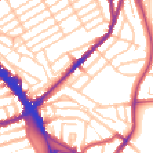
Daytime· 07:00 – 23:00
55.2dB

Night-time· 23:00 – 07:00
45.4dB