13 Balmoral Road, Urmston, Manchester, M41 6HN
About 13 Balmoral Road
13 Balmoral Road is a three-bedroom detached house in Urmston, Manchester, Manchester (M41 6HN). It has a recorded floor area of 64 m² (around 689 sq ft), construction records dating it to 1950-1966 and council tax band D. The latest certificate (May 2016) shows a D (score 61), on the cusp of jumping into the C band. The rating has held steady at D across 2 certificates since May 2015. Between certificates, roof efficiency went from Poor to Good; while lighting dropped from Good to Very Poor. The recommended improvements would lift it to B (score 87), a 2-band jump. The latest certificate is from May 2016, so improvements made since then won't be reflected.
Across 2015–2025, sale prices on this property compounded at -2.2% per year. Today's modelled estimate of £320,000 sits 60% above the 2025 sale of £200,000. A recent sale: £200,000 in February 2025. At 64 m² it sits well below the postcode median (97 m² across 19 EPCs), making it one of the more compact homes locally. One planning record on file: an extension approved in 2025. Past consents include an extension and a garage conversion, meaningful when judging how the property has evolved.
What this property has
Inside
- Bedrooms3
- Bathrooms1
Outside
- Private gardenYes
- GarageYes
Building
- RefurbishedYes
Everything you need to know about 13 Balmoral Road
The true value, the hidden risks and the full sale history, in one report.
Pick your report · every report is £14.99
One time fee only - money back guarantee

The data behind every report


Energy performance
Recommended upgrades on file would lift this property by multiple EPC bands.
EPC Expired
This certificate is over 10 years old and is no longer valid.Expired 31 May 2026
EPC Rating
Property Improvements
Changes detected from historical EPC data
Heating controls upgraded for better temperature management
Roof insulation improved
Low energy lighting percentage decreased
Get a survey for this property
Level 2 HomeBuyer Report
We've checked 10 risk factors against the available data for this property and believe a Level 2 HomeBuyer Report could be a suitable option for you.
From £595 · Includes VAT
Planning history
1 application on record at 13 Balmoral Road, Urmston, Manchester, M41 6HN
- Jul 2025Garage ConversionFullOutcome in report
Extension: Single storey · Rear of property
Erection of single storey rear extension, conversion of garage and associated external alterations including widening of driveway and removal of chimney
Extension- Documents
- 15 docs on file
- Reference
- 116624/HHA/25
Unlock 13 Balmoral Road, Urmston, Manchester, M41 6HN's full planning history
You're seeing the shape of it. The report has the substance.
- Every decision — granted, refused or withdrawn (1 on record)
- All 1 application on this property in full
- The 15 documents, officer reports & conditions
- What the pattern means for extending or converting here
One time fee only - money back guarantee
Sales history & valuation
£320,000
Modelled from EPC, postcode comparables and a sale-price growth of -2.2% per year over 9 years.
£200,000
Growth on file: -2.2% per year over 9 years.
Sales timeline
6 February 2025Most recent
£200,000
-19.2%over 9 years13 August 2015
£247,500
Median price across the last 5 sales in M41 6HN: £425,000 (2024–2022).
Nearby sales in M41 6HN
10 Balmoral Road, Urmston, Manchester, M41 6HN
Sold Dec 2024
£425,00015 Balmoral Road, Urmston, Manchester, M41 6HN
Sold Dec 2022
£415,00024 Balmoral Road, Urmston, Manchester, M41 6HN
Sold Sept 2022
£525,00022 Balmoral Road, Urmston, Manchester, M41 6HN
Sold Mar 2022
£380,0008 Balmoral Road, Urmston, Manchester, M41 6HN
Sold Jan 2022
£430,000
Versus other Balmoral Road homes
13 Balmoral Road is notably below the street on years held.
Price per m²
£3,125
Street avg £3,114
Floor Area
64 m²
Street avg 100 m²
Habitable Rooms
5 rooms
Street avg 5 rooms
CO₂ Emissions
3.3 t/year
Street avg 4.3 t/year
Everything you need to know about 13 Balmoral Road
The true value, the hidden risks and the full sale history, in one report.
Pick your report · every report is £14.99
One time fee only - money back guarantee
The data behind every report
Similar properties nearby
1 Devon Road, Urmston
M41 6PN
1 Compton Close, Urmston
M41 6WG
1 Deanway, Urmston
M41 6WB
1 Arundel Avenue, Urmston
M41 6NQ
1 Bromley Avenue, Urmston
M41 6HZ
1 Braemar Avenue, Urmston
M41 6HP
1 Cambridge Road, Urmston
M41 6HH
1 Hampstead Avenue, Urmston
M41 6HY
The neighbourhood at a glance
Rail-style transport is unusually close for this postcode.
Crime
1/mo
Steady year-on-year across the wider district.
Nearest stop
0.2 km
Snowden Avenue — bus stop.
Closest school
0.7 km
St Michael's CofE (Aided) Primary School. 23 schools nearby.
Go deeper on the local area
A Local Area report breaks down crime, transport links, schools and air quality in depth.
Road noise across the postcode
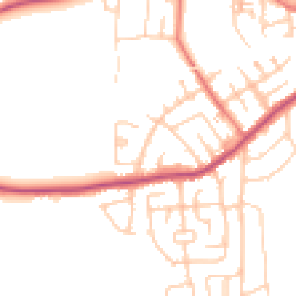
Daytime· 07:00 – 23:00
49.2dB

Night-time· 23:00 – 07:00
40.3dB