39 Balfour Road, Urmston, Manchester, M41 5SU
About 39 Balfour Road
39 Balfour Road is a three-bedroom mid-terrace house in Urmston, Manchester, Manchester (M41 5SU). It has a recorded floor area of 75 m² (around 807 sq ft), construction records dating it to 1900-1929 and council tax band B. The latest certificate (June 2014) shows a D (score 65), on the cusp of jumping into the C band. When first surveyed in September 2011 the rating was E, the property has climbed 1 band since. Between certificates, roof efficiency went from Very Poor to Good, window efficiency went from Very Poor to Good and hot-water efficiency went from Average to Good; while wall efficiency dropped from Poor to Very Poor and lighting dropped from Good to Very Poor. The recommended improvements would lift it to B (score 87), a 2-band jump. The latest certificate is from June 2014, so improvements made since then won't be reflected.
Sold October 2024 for £291,500. Across the public record there are 4 sales, relatively high churn for a single property. Across 2013–2024, sale prices on this property compounded at 10.3% per year. Today's modelled estimate of £324,000 is 11.1% above the 2024 sale price. On a £-per-square-foot basis, the last sale (£361/sq ft) was about 130.9% above the typical sold price in the postcode.
What this property has
Inside
- Bedrooms3
- Bathrooms1
Outside
- Private gardenYes
Building
- Heating systemGas
Everything you need to know about 39 Balfour Road
The true value, the hidden risks and the full sale history, in one report.
Pick your report · every report is £14.99
One time fee only - money back guarantee

The data behind every report


Energy performance
Recommended upgrades on file would lift this property by multiple EPC bands.
EPC Expired
This certificate is over 10 years old and is no longer valid.Expired 02 Jun 2024
EPC Rating
Property Improvements
Changes detected from historical EPC data
Replaced storage heaters with gas boiler
Connected to mains gas supply
Heating controls upgraded for better temperature management
Hot water system upgraded
Single glazing replaced with double or better glazing
Loft insulation installed or upgraded to 250mm+
Low energy lighting percentage decreased
Get a survey for this property
Level 3 Building Survey
Because the property was built before 1919 and has solid (non-cavity) walls, we believe a Level 3 building survey should be considered.
From £955 · Includes VAT
Planning history
39 Balfour Road has no planning applications on record.
But the area is active
2 notable applications nearby — larger schemes and conversions that could reshape the street. The report maps them all.
Sales history & valuation
39 Balfour Road has more than doubled in price since the earliest registered sale in 2013.
£324,000
Modelled from EPC, postcode comparables and a sale-price growth of 10.3% per year over 11 years.
£291,500
Growth on file: 10.3% per year over 11 years.
Sales timeline
9 October 2024Most recent
£291,500
+31.9%over 7 years13 July 2017
£221,000
+26.3%over 2 years29 September 2014
£175,000
+75.0%over 11 months28 October 2013
£100,000
Median price across the last 5 sales in M41 5SU: £325,000 (2025–2023).
Nearby sales in M41 5SU
15 Balfour Road, Urmston, Manchester, M41 5SU
Sold Mar 2025
£371,00021 Balfour Road, Urmston, Manchester, M41 5SU
Sold Nov 2024
£325,00047 Balfour Road, Urmston, Manchester, M41 5SU
Sold Oct 2024
£260,00031 Balfour Road, Urmston, Manchester, M41 5SU
Sold Jun 2024
£328,00025 Balfour Road, Urmston, Manchester, M41 5SU
Sold Jan 2023
£285,000
Versus other Balfour Road homes
Price per m² for 39 Balfour Road runs comfortably ahead of the street norm.
Price per m²
£3,887
Street avg £2,482
Floor Area
75 m²
Street avg 93 m²
Habitable Rooms
5 rooms
Street avg 5 rooms
CO₂ Emissions
3.2 t/year
Street avg 4.0 t/year
Everything you need to know about 39 Balfour Road
The true value, the hidden risks and the full sale history, in one report.
Pick your report · every report is £14.99
One time fee only - money back guarantee
The data behind every report
Similar properties nearby
1 Clifton Road, Urmston
M41 5RU
1 Barton Avenue, Urmston
M41 5PS
1 Hereford Grove, Urmston
M41 5AJ
1 Grosvenor Road, Urmston
M41 5AG
1 Handel Avenue, Urmston
M41 5PG
1 Chassen Avenue, Urmston
M41 5DS
1 Finghall Road, Urmston
M41 5BT
1 Delamere Road, Urmston
M41 5GL
The neighbourhood at a glance
Rail-style transport is unusually close for this postcode.
Crime
1/mo
Steady year-on-year across the wider district.
Nearest stop
0.1 km
Bowfell Circle — bus stop.
Closest school
0.3 km
Urmston Grammar Academy. 23 schools nearby.
Go deeper on the local area
A Local Area report breaks down crime, transport links, schools and air quality in depth.
Road noise across the postcode
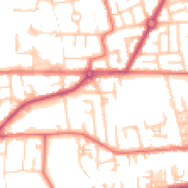
Daytime· 07:00 – 23:00
52.6dB

Night-time· 23:00 – 07:00
41.9dB