11 Finghall Road, Urmston, Manchester, M41 5BT
About 11 Finghall Road
11 Finghall Road is a property in Urmston, Manchester, Manchester (M41 5BT). It has council tax band C.
Energy performance
No EPC on record
This property doesn't have an Energy Performance Certificate yet. An EPC is required to sell or let — and unlocks our automated valuation.
Get a survey for this property
Level 2 HomeBuyer Report
We've checked 10 risk factors against the available data for this property and believe a Level 2 HomeBuyer Report could be a suitable option for you.
Planning history
No planning applications are recorded against 11 Finghall Road, Urmston, Manchester, M41 5BT. The full report also covers planning activity across the surrounding area.
Sales history & valuation
No sales recorded with HM Land Registry
That can mean the property has never traded since the registry began publishing in 1995, was a new build that hasn't been registered yet, or is held in the same hands long-term.
Median price across the last 5 sales in M41 5BT: £222,000 (2021–2005).
Nearby sales in M41 5BT
4 Finghall Road, Urmston, Manchester, M41 5BT
Sold Aug 2021
£450,0005 Finghall Road, Urmston, Manchester, M41 5BT
Sold Jul 2014
£213,5001 Finghall Road, Urmston, Manchester, M41 5BT
Sold Nov 2012
£222,00013 Finghall Road, Urmston, Manchester, M41 5BT
Sold Sept 2012
£215,00014 Finghall Road, Urmston, Manchester, M41 5BT
Sold Dec 2005
£240,000
Similar properties nearby
1 Acregate, Urmston
M41 5DZ
1 Albany Court, Urmston
M41 5RH
1 Alderley Road, Urmston
M41 5DW
1 Balfour Road, Urmston
M41 5SU
1 Balmain Road, Urmston
M41 5TR
1 Barton Avenue, Urmston
M41 5PS
1 Beechfield Avenue, Urmston
M41 5RT
1 Bowden View, Shawe Road, Urmston
M41 5DL
The neighbourhood at a glance
Rail-style transport is unusually close for this postcode.
Crime
1/mo
Steady year-on-year across the wider district.
Nearest stop
0.1 km
Princess Road — bus stop.
Closest school
0.4 km
Urmston Grammar Academy. 24 schools nearby.
Road noise across the postcode
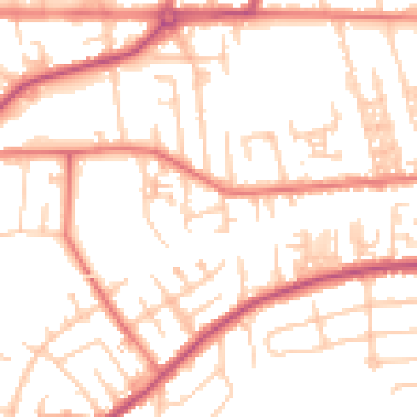
Daytime· 07:00 – 23:00
52.2dB

Night-time· 23:00 – 07:00
41.9dB