9 Ash Grove, Worsley, Manchester, M28 7EH
About 9 Ash Grove
9 Ash Grove is a property in Worsley, Manchester, Manchester (M28 7EH). It has council tax band B.
Energy performance
No EPC on record
This property doesn't have an Energy Performance Certificate yet. An EPC is required to sell or let — and unlocks our automated valuation.
Get a survey for this property
Level 2 HomeBuyer Report
We've checked 10 risk factors against the available data for this property and believe a Level 2 HomeBuyer Report could be a suitable option for you.
Planning history
No planning applications are recorded against 9 Ash Grove, Worsley, Manchester, M28 7EH. The full report also covers planning activity across the surrounding area.
Sales history & valuation
No sales recorded with HM Land Registry
That can mean the property has never traded since the registry began publishing in 1995, was a new build that hasn't been registered yet, or is held in the same hands long-term.
Median price across the last 5 sales in M28 7EH: £235,000 (2025–2023).
Nearby sales in M28 7EH
8 Ash Grove, Worsley, Manchester, M28 7EH
Sold May 2025
£260,0003 Ash Grove, Worsley, Manchester, M28 7EH
Sold Mar 2024
£235,00030 Ash Grove, Worsley, Manchester, M28 7EH
Sold Dec 2023
£185,00024 Ash Grove, Worsley, Manchester, M28 7EH
Sold Jun 2023
£212,00013 Ash Grove, Worsley, Manchester, M28 7EH
Sold Jan 2023
£241,000
Similar properties nearby
1 Ainsley Grove, Worsley
M28 7DX
1 Ash Grove, Worsley
M28 7EH
1 Beck Grove, Worsley
M28 7JH
1 Bedford Avenue, Worsley
M28 7GG
1 Bellpit Close, Worsley
M28 7XH
1 Blackcap Close, Worsley
M28 7XD
1 Blakefield Drive, Worsley
M28 7DW
1 Brindley Street, Worsley
M28 7DG
The neighbourhood at a glance
Rail-style transport is unusually close for this postcode.
Nearest stop
0.1 km
Lime Grove — bus stop.
Closest school
0.1 km
Mesne Lea Primary School. 30 schools nearby.
Road noise across the postcode
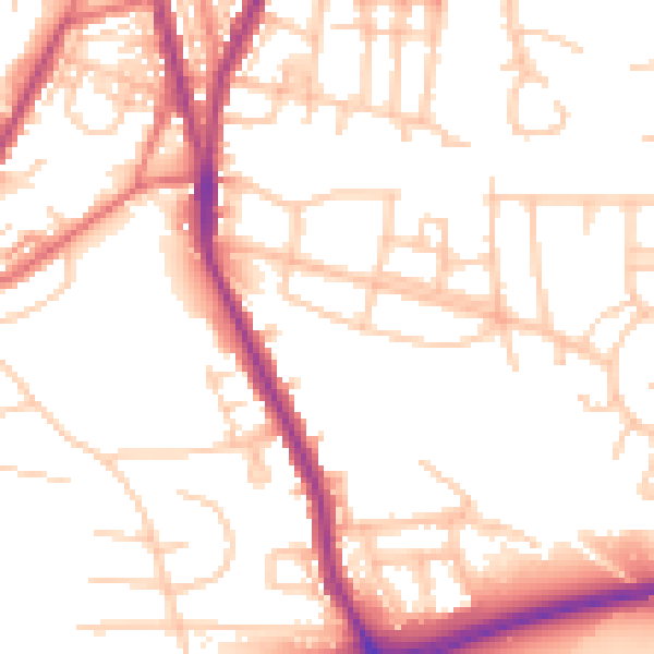
Daytime· 07:00 – 23:00
53.6dB

Night-time· 23:00 – 07:00
45.7dB