2 Bryony Close, Worsley, Manchester, M28 3GR
About 2 Bryony Close
2 Bryony Close is a property in Worsley, Manchester, Manchester (M28 3GR). It has council tax band C.
It hasn't traded since September 2003, a hold of 23 years that's notably long for the area.
Everything you need to know about 2 Bryony Close
The true value, the hidden risks and the full sale history, in one report.
Pick your report · every report is £14.99
One time fee only - money back guarantee

The data behind every report


Energy performance
No EPC on record
This property doesn't have an Energy Performance Certificate yet. An EPC is required to sell or let — and unlocks our automated valuation.
Get a survey for this property
Level 2 HomeBuyer Report
We've checked 10 risk factors against the available data for this property and believe a Level 2 HomeBuyer Report could be a suitable option for you.
Planning history
2 Bryony Close has no planning applications on record.
But the area is active
15 notable applications nearby — larger schemes and conversions that could reshape the street. The report maps them all.
Sales history & valuation
£95,000
Recorded with HM Land Registry.
Sales timeline
28 September 2003Most recent
£95,000
Median price across the last 5 sales in M28 3GR: £227,000 (2025–2016).
Nearby sales in M28 3GR
10 Bryony Close, Worsley, Manchester, M28 3GR
Sold Jul 2025
£266,50012 Bryony Close, Worsley, Manchester, M28 3GR
Sold Mar 2024
£315,0003 Bryony Close, Worsley, Manchester, M28 3GR
Sold Feb 2019
£227,0001 Bryony Close, Worsley, Manchester, M28 3GR
Sold Dec 2016
£135,0005 Bryony Close, Worsley, Manchester, M28 3GR
Sold Jan 2016
£138,000
Everything you need to know about 2 Bryony Close
The true value, the hidden risks and the full sale history, in one report.
Pick your report · every report is £14.99
One time fee only - money back guarantee
The data behind every report
Similar properties nearby
1 Charnwood Close, Worsley
M28 3SP
1 Ashwood Avenue, Worsley
M28 3GQ
1 Algernon Road, Worsley
M28 3RD
1 Chilham Road, Worsley
M28 3DP
1 Athens Drive, Worsley
M28 3DD
1 Collyhurst Avenue, Worsley
M28 3DJ
1 Bryony Close, Worsley
M28 3GR
1 Albert Avenue, Worsley
M28 3GE
The neighbourhood at a glance
Nearest stop
0.2 km
Grosvenor Road — bus stop.
Closest school
0.3 km
North Walkden Primary School. 36 schools nearby.
Go deeper on the local area
A Local Area report breaks down crime, transport links, schools and air quality in depth.
Road noise across the postcode
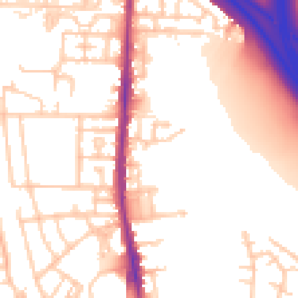
Daytime· 07:00 – 23:00
55.0dB

Night-time· 23:00 – 07:00
47.2dB