1 Ashwood Avenue, Worsley, Manchester, M28 3GQ
About 1 Ashwood Avenue
1 Ashwood Avenue is a two-bedroom semi-detached house in Worsley, Manchester, Manchester (M28 3GQ). It has a recorded floor area of 77 m² (around 829 sq ft), construction records dating it to 1967-1975 and council tax band C. The latest certificate (April 2019) shows a D (score 67), on the cusp of jumping into the C band. The recommended improvements would lift it to B (score 82), a 2-band jump.
Across 2007–2019, sale prices on this property compounded at -0.6% per year. Today's modelled estimate of £244,000 sits 62.7% above the 2019 sale of £150,000. At 77 m² it's 18.3% larger than the typical home in the postcode (65 m² median across 4 EPCs). It lags the bulk of the postcode on energy efficiency (less efficient than 75% of similar EPCs). Most recent transfer: October 2019 at £150,000.
What this property has
Inside
- Bedrooms2
- Bathrooms1
Outside
- Private gardenYes
- DrivewayYes
Building
- RefurbishedYes
Everything you need to know about 1 Ashwood Avenue
The true value, the hidden risks and the full sale history, in one report.
Pick your report · every report is £14.99
One time fee only - money back guarantee

The data behind every report


Energy performance
Recommended upgrades on file would lift this property by multiple EPC bands.
EPC Rating
Get a survey for this property
Level 2 HomeBuyer Report
We've checked 10 risk factors against the available data for this property and believe a Level 2 HomeBuyer Report could be a suitable option for you.
From £545 · Includes VAT
Planning history
1 Ashwood Avenue has no planning applications on record.
But the area is active
15 notable applications nearby — larger schemes and conversions that could reshape the street. The report maps them all.
Sales history & valuation
1 Ashwood Avenue's sale-price growth has lagged the wider UK trajectory across its history on file.
£244,000
Modelled from EPC, postcode comparables and a sale-price growth of -0.6% per year over 12 years.
£150,000
Growth on file: -0.6% per year over 12 years.
Sales timeline
14 October 2019Most recent
£150,000
-6.8%over 11 years3 December 2007
£161,000
Median price across the last 4 sales in M28 3GQ: £130,000 (2021–2012).
Versus other Ashwood Avenue homes
Price per m² for 1 Ashwood Avenue runs comfortably ahead of the street norm.
Price per m²
£1,948
Street avg £1,981
Floor Area
77 m²
Street avg 72 m²
Habitable Rooms
4 rooms
Street avg 4 rooms
CO₂ Emissions
3.3 t/year
Street avg 3.1 t/year
Everything you need to know about 1 Ashwood Avenue
The true value, the hidden risks and the full sale history, in one report.
Pick your report · every report is £14.99
One time fee only - money back guarantee
The data behind every report
Similar properties nearby
1 Charnwood Close, Worsley
M28 3SP
1 Atkin Street, Worsley
M28 3DG
1 Algernon Road, Worsley
M28 3RD
1 Chilham Road, Worsley
M28 3DP
1 Athens Drive, Worsley
M28 3DD
1 Albert Avenue, Worsley
M28 3GE
1 Ainsworth Court, Stanley Road, Worsley
M28 3EQ
1 Charlton Fold, Worsley
M28 3SU
The neighbourhood at a glance
Nearest stop
0.3 km
Grosvenor Road — bus stop.
Closest school
0.2 km
North Walkden Primary School. 37 schools nearby.
Go deeper on the local area
A Local Area report breaks down crime, transport links, schools and air quality in depth.
Road noise across the postcode
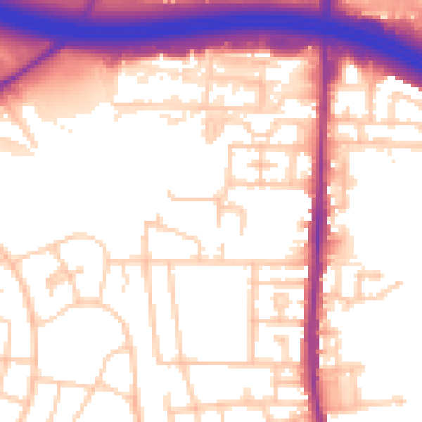
Daytime· 07:00 – 23:00
56.3dB

Night-time· 23:00 – 07:00
48.0dB