2 Elsham Drive, Worsley, Manchester, M28 0RU
About 2 Elsham Drive
2 Elsham Drive is a detached house in Worsley, Manchester, Manchester (M28 0RU). It has a recorded floor area of 129 m² (around 1389 sq ft), construction records dating it to 1996-2002 and council tax band C. The latest certificate (February 2026) shows a D (score 58), a step below the typical UK home. Main heating runs on lpg. This certificate was lodged in the last six months, so the rating reflects current condition.
At 129 m² the property is well over the postcode median (98 m² across 10 EPCs), placing it in the larger end of the local stock.
Everything you need to know about 2 Elsham Drive
The true value, the hidden risks and the full sale history, in one report.
Pick your report · every report is £14.99
One time fee only - money back guarantee

The data behind every report


Energy performance
The EPC has just been inspected, so the rating reflects current condition.
EPC Rating
Get a survey for this property
Level 2 HomeBuyer Report
We've checked 10 risk factors against the available data for this property and believe a Level 2 HomeBuyer Report could be a suitable option for you.
Planning history
2 Elsham Drive has no planning applications on record.
But the area is active
5 notable applications nearby — larger schemes and conversions that could reshape the street. The report maps them all.
Sales history & valuation
2 Elsham Drive has no Land Registry sales on file, suggesting it has stayed in the same hands since registration began.
No sales recorded with HM Land Registry
That can mean the property has never traded since the registry began publishing in 1995, was a new build that hasn't been registered yet, or is held in the same hands long-term.
Median price across the last 5 sales in M28 0RU: £200,000 (2021–2014).
Nearby sales in M28 0RU
15 Elsham Drive, Worsley, Manchester, M28 0RU
Sold Sept 2021
£266,0001 Elsham Drive, Worsley, Manchester, M28 0RU
Sold Jun 2021
£290,0004 Elsham Drive, Worsley, Manchester, M28 0RU
Sold Jun 2018
£200,0009 Elsham Drive, Worsley, Manchester, M28 0RU
Sold Mar 2018
£168,50017 Elsham Drive, Worsley, Manchester, M28 0RU
Sold Sept 2014
£150,000
Versus other Elsham Drive homes
Floor Area for 2 Elsham Drive runs comfortably ahead of the street norm.
EPC Rating
58 (D)
Street avg 63 (D)
Floor Area
129 m²
Street avg 97 m²
CO₂ Emissions
3.5 t/year
Street avg 4.3 t/year
Habitable Rooms
5 rooms
Street avg 5 rooms
Everything you need to know about 2 Elsham Drive
The true value, the hidden risks and the full sale history, in one report.
Pick your report · every report is £14.99
One time fee only - money back guarantee
The data behind every report
Similar properties nearby
1 Aspinall Close, Worsley
M28 0JP
1 Aspinall Crescent, Worsley
M28 0HE
1 Aspinall Grove, Worsley
M28 0LD
1 Avon Close, Worsley
M28 0LA
1 Barrowshaw Close, Worsley
M28 0GF
1 Barry Crescent, Worsley
M28 0JA
1 Bickershaw Drive, Worsley
M28 0GG
1 Bowfell Close, Worsley
M28 0AN
The neighbourhood at a glance
Nearest stop
0.1 km
Hilton Lane Primary School — bus stop.
Closest school
0.2 km
St Andrew's Methodist Primary School. 34 schools nearby.
Go deeper on the local area
A Local Area report breaks down crime, transport links, schools and air quality in depth.
Road noise across the postcode
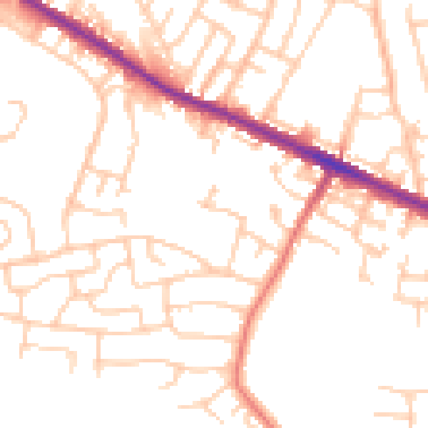
Daytime· 07:00 – 23:00
50.8dB

Night-time· 23:00 – 07:00
41.2dB