Flat 5, 435 Barlow Moor Road, Manchester, M21 8AU
About Flat 5
Flat 5 is a two-bedroom mid-terrace house in Manchester (M21 8AU). It has a recorded floor area of 72 m² (around 775 sq ft). The latest certificate (January 2017) returns a high B (score 86), putting the home a stone's throw from an A rating. At 72 m² this is the 3rd smallest of 12 units on EPC record in the building, where floor areas span 70–78 m².
At 72 m² the property is well over the postcode median (55 m² across 53 EPCs), placing it in the larger end of the local stock. Its energy rating outperforms most of the postcode (better than 79% of similar EPCs). 8 planning records sit against the property, 8 approved, 0 refused. Across 2017–2021, sale prices on this property compounded at 2.9% per year. Today's modelled estimate of £268,000 is 21.8% above the 2021 sale price. Most recent transfer: April 2021 at £220,000. That sale was during the post-pandemic price surge, when transactions cleared materially above pre-2020 trend.
Know exactly what you're buying at Flat 5
Before you offer, see what the listing won't tell you, the true value, the red flags and the full history.
Already flagged here
Valuation
against the asking price
Risks
planning & flood
Sold prices
similar homes nearby
Trends
the local market
What this property has
Inside
- Bedrooms2
- Bathrooms2
- EnsuiteYes
Building
- Central heatingYes
- RefurbishedYes
Energy performance
Flat 5's carbon output is low for the local stock.
EPC Rating
Planning history
Flat 5 has been through 8 approved planning applications — a well-evolved property.
- Jun 2017ConditionsIn report
Discharge of conditions 16 (secure by design), 17 (code for sustainable homes), 18b (contamination report) and 23 (vehicular access) attached to planning permission 105734/FO/2014/S1
- Agent
- Pozzoni
- Documents
- 5 docs on file
- Reference
- CDN/17/0214
- Mar 2017ConditionsIn report
Discharge of conditions 3,5,7,8,9,10,11,12,13,14,15,16,17,18a,19,20,21,22 and 23 attached to application 105734/FO/2014/S1
- Agent
- Pozzoni Architects Ltd
- Documents
- 9 docs on file
- Reference
- CDN/16/0422
We flagged 1 thing worth checking at Flat 5
Independent checks surfaced things a buyer would want to understand before offering. The report explains each one in full, with the underlying data and what to ask.
- Larger development activity nearby
30-day money-back guarantee
Sales history & valuation
The latest sale landed in the post-pandemic price surge — useful context when reading the figure.
£268,000
Modelled from EPC, postcode comparables and a sale-price growth of 2.9% per year over 4 years.
£220,000
Growth on file: 2.9% per year over 4 years.
Sales timeline
29 April 2021Most recent
£220,000
+12.8%over 4 years2 February 2017
£195,000
Median price across the last 5 sales in M21 8AU: £255,000 (2024–2018).
Nearby sales in M21 8AU
Flat 9, 435 Barlow Moor Road, Manchester, M21 8AU
Sold Aug 2024
£255,000Flat 10, 435 Barlow Moor Road, Manchester, M21 8AU
Sold Apr 2022
£242,500463a, Barlow Moor Road, Manchester, M21 8AU
Sold Feb 2022
£285,000Flat 11, 435 Barlow Moor Road, Manchester, M21 8AU
Sold Mar 2021
£217,000451 Barlow Moor Road, Manchester, M21 8AU
Sold Oct 2018
£500,000
Everything we know about Flat 5, in one report
What it's really worth, what could be wrong, and the planning, sales and area data in full.
What we flagged
- Larger development activity nearby

Versus other Barlow Moor Road homes
On co₂ emissions, Flat 5 stands well clear of the street.
Price per m²
£3,056
Street avg £3,165
Floor Area
72 m²
Street avg 51 m²
CO₂ Emissions
0.8 t/year
Street avg 1.8 t/year
Years Held
5 years
Street avg 12 years
Similar properties nearby
410b, Flat 2, Barlow Moor Road
M21 8AD
410b, Flat 3, Barlow Moor Road
M21 8AD
352a, Flat 2, Barlow Moor Road
M21 8AZ
433a, Flat 3, Barlow Moor Road
M21 8AU
433a, Flat 6, Barlow Moor Road
M21 8AU
433a, Flat 2, Barlow Moor Road
M21 8AU
433a, Flat 1, Barlow Moor Road
M21 8AU
433a, Flat 10, Barlow Moor Road
M21 8AU
The neighbourhood at a glance
Rail-style transport is unusually close for this postcode.
Nearest stop
0.1 km
Cundiff Road — bus stop.
Closest school
0.4 km
Chorlton Park Primary. 42 schools nearby.
Go deeper on the local area
The full report breaks down crime, transport links, schools and air quality in depth.
Road noise across the postcode
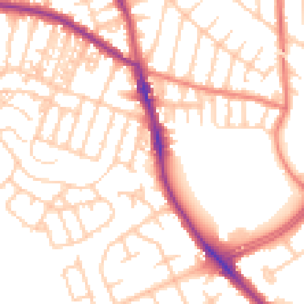
Daytime· 07:00 – 23:00
53.7dB

Night-time· 23:00 – 07:00
43.6dB