10 Broadhill Road, Manchester, M19 1AP
About 10 Broadhill Road
10 Broadhill Road is a three-bedroom semi-detached house in Manchester (M19 1AP). It has a recorded floor area of 99 m² (around 1066 sq ft), construction records dating it to 1930-1949 and council tax band C. The latest certificate (June 2016) shows a D (score 55), a step below the typical UK home. The recommended improvements would push it to C (score 78). The latest certificate is from June 2016, so improvements made since then won't be reflected. Records show the property has been extended at some point in its history.
Across 2002–2016, sale prices on this property compounded at 5.3% per year. Today's modelled estimate of £332,000 sits 74.7% above the 2016 sale of £190,000. On a £-per-square-foot basis, the last sale (£178/sq ft) was about 39.6% above the typical sold price in the postcode. On the market in September 2016 and unlisted since — roughly 10 years.
Know exactly what you're buying at 10 Broadhill Road
Before you offer, see what the listing won't tell you, the true value, the red flags and the full history.
Already flagged here
Valuation
against the asking price
Risks
planning & flood
Sold prices
similar homes nearby
Trends
the local market
What this property has
Inside
- Bedrooms3
- Bathrooms1
Outside
- Private gardenRear
- GarageYes
Building
- Previously extendedYes
Energy performance
EPC Expired
This certificate is over 10 years old and is no longer valid.Expired 16 Jun 2026
EPC Rating
Planning history
10 Broadhill Road has no planning applications on record.
Notable planning nearby
3applications of note in the surrounding area
We flagged 1 thing worth checking at 10 Broadhill Road
Independent checks surfaced things a buyer would want to understand before offering. The report explains each one in full, with the underlying data and what to ask.
- Larger development activity nearby
30-day money-back guarantee
Sales history & valuation
Latest sale on 10 Broadhill Road was the highest on Land Registry record across the postcode.
£332,000
Modelled from EPC, postcode comparables and a sale-price growth of 5.3% per year over 15 years.
£190,000
Growth on file: 5.3% per year over 15 years.
Sales timeline
27 September 2016Most recent
£190,000
+9.8%over 11 years19 May 2005
£173,000
+92.2%over 3 years15 March 2002
£90,000
Median price across the last 5 sales in M19 1AP: £145,000 (2016–2004).
Everything we know about 10 Broadhill Road, in one report
What it's really worth, what could be wrong, and the planning, sales and area data in full.
What we flagged
- Larger development activity nearby

Versus other Broadhill Road homes
On price per m², 10 Broadhill Road stands well clear of the street.
Price per m²
£1,919
Street avg £1,330
Floor Area
99 m²
Street avg 99 m²
Habitable Rooms
6 rooms
Street avg 5 rooms
CO₂ Emissions
5.4 t/year
Street avg 3.8 t/year
Similar properties nearby
1 Briarfield Road
M19 1BJ
1 Brookthorpe Avenue
M19 1AD
1 Bolton Avenue
M19 1RP
1 Bournelea Avenue
M19 1AE
1 Barnfield Road
M19 1QG
1 Blackthorn Avenue
M19 1FT
1 Angleside Avenue
M19 1NU
1 Chorley Wood Avenue
M19 1HE
The neighbourhood at a glance
Rail-style transport is unusually close for this postcode.
Nearest stop
0.1 km
Kingsway — bus stop.
Closest school
0.3 km
Green End Primary School. 52 schools nearby.
Go deeper on the local area
The full report breaks down crime, transport links, schools and air quality in depth.
Road noise across the postcode
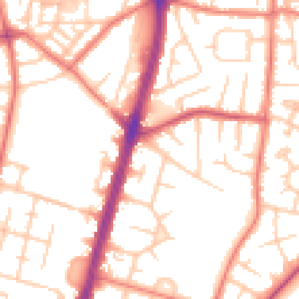
Daytime· 07:00 – 23:00
52.7dB

Night-time· 23:00 – 07:00
41.7dB