7 Tomlinson Street, Hulme, Manchester, M15 5FW
About 7 Tomlinson Street
7 Tomlinson Street is a three-bedroom end-of-terrace house in Hulme, Manchester, Manchester (M15 5FW). It has a recorded floor area of 67 m² (around 721 sq ft), construction records dating it to 1996-2002 and council tax band B. The latest certificate (December 2025) shows a C (score 74). The rating has held steady at C across 2 certificates since December 2015. Between certificates, lighting dropped from Very Good to Good. This certificate was lodged in the last six months, so the rating reflects current condition.
Held since March 2007 — that's 19 years off the open market, well above the local norm. That sale landed at the peak of the pre-credit-crunch market, which is a useful reference point when interpreting the price. Across 2000–2007, sale prices on this property compounded at 14.2% per year. Today's modelled estimate of £251,000 sits 73.1% above the 2007 sale of £145,000.
What this property has
Inside
- Bedrooms3
- Bathrooms2
- Open-plan layoutYes
- Dining roomYes
Outside
- Private gardenYes
- ParkingAllocated
Building
- Heating systemGas
Everything you need to know about 7 Tomlinson Street
The true value, the hidden risks and the full sale history, in one report.
30-day money-back guarantee

The data behind every report


Energy performance
The EPC has just been inspected, so the rating reflects current condition.
EPC Rating
Planning history
7 Tomlinson Street has no planning applications on record.
The full report still covers planning activity across the surrounding area.
Sales history & valuation
Sale price has at least doubled since 2000.
£251,000
Modelled from EPC, postcode comparables and a sale-price growth of 14.2% per year over 7 years.
£145,000
Growth on file: 14.2% per year over 7 years.
Sales timeline
16 March 2007Most recent
£145,000
+141.9%over 6 years27 July 2000
£59,950
Median price across the last 5 sales in M15 5FW: £192,000 (2025–2018).
Nearby sales in M15 5FW
2 Tomlinson Street, Hulme, Manchester, M15 5FW
Sold Aug 2025
£270,0008 Tomlinson Street, Hulme, Manchester, M15 5FW
Sold May 2023
£205,0006 Tomlinson Street, Hulme, Manchester, M15 5FW
Sold Jan 2023
£192,00024 Tomlinson Street, Hulme, Manchester, M15 5FW
Sold Feb 2021
£165,00022 Tomlinson Street, Hulme, Manchester, M15 5FW
Sold Apr 2018
£185,000
Versus other Tomlinson Street homes
On floor area, 7 Tomlinson Street stands well clear of the street.
Price per m²
£2,164
Street avg £2,355
Floor Area
67 m²
Street avg 62 m²
Habitable Rooms
5 rooms
Street avg 4 rooms
CO₂ Emissions
1.9 t/year
Street avg 2.0 t/year
Everything you need to know about 7 Tomlinson Street
The true value, the hidden risks and the full sale history, in one report.
30-day money-back guarantee
The data behind every report
Similar properties nearby
1 Ancroft Street
M15 5JW
1 Dunham Street
M15 5FX
1 Heron Street
M15 5PR
1 Dearden Street
M15 5LZ
1 Drayton Street
M15 5LL
1 Colin Murphy Road
M15 5RS
1 Betsham Street
M15 5JN
1 Bold Street, Hulme
M15 5QR
The neighbourhood at a glance
Crime
1/mo
Steady year-on-year across the wider district.
Nearest stop
0.1 km
Hulme Park — bus stop.
Closest school
0.2 km
Rolls Crescent Primary School. 44 schools nearby.
Go deeper on the local area
The full report breaks down crime, transport links, schools and air quality in depth.
Road noise across the postcode
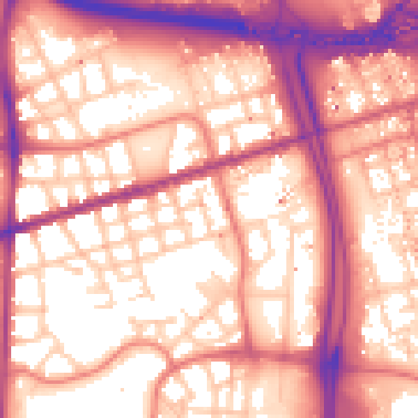
Daytime· 07:00 – 23:00
59.1dB

Night-time· 23:00 – 07:00
49.8dB