71 Ashcroft Road, Luton, LU2 9AX
About 71 Ashcroft Road
71 Ashcroft Road is a three-bedroom mid-terrace house in Luton (LU2 9AX). It has a recorded floor area of 82 m² (around 885 sq ft), construction records dating it to 1900-1929 and council tax band B. The latest certificate (March 2010) shows a D (score 56), a step below the typical UK home. The latest certificate is from March 2010, so improvements made since then won't be reflected. Period features are noted in the property record.
Across 2012–2017, sale prices on this property compounded at 8.6% per year. Today's modelled estimate of £321,000 is 25.9% above the 2017 sale price. On a £-per-square-foot basis, the last sale (£288/sq ft) was about 59.5% above the typical sold price in the postcode. Last sold in June 2017, so it's been off the market for around 9 years.
What this property has
Inside
- Bedrooms3
- Bathrooms1
- Dining roomYes
Outside
- Private gardenFront and rear
Building
- Period featuresYes
Everything you need to know about 71 Ashcroft Road
The true value, the hidden risks and the full sale history, in one report.
30-day money-back guarantee

The data behind every report


Energy performance
71 Ashcroft Road's EPC is over a decade old — improvements since won't be reflected.
EPC Expired
This certificate is over 10 years old and is no longer valid.Expired 02 Mar 2020
EPC Rating
Planning history
71 Ashcroft Road has no planning applications on record.
Notable planning nearby
1applications of note in the surrounding area
Sales history & valuation
71 Ashcroft Road valuation sits well clear of the typical sold price in this postcode.
£321,000
Modelled from EPC, postcode comparables and a sale-price growth of 8.6% per year over 5 years.
£255,000
Growth on file: 8.6% per year over 5 years.
Sales timeline
14 June 2017Most recent
£255,000
+54.5%over 5 years2 March 2012
£165,000
Median price across the last 5 sales in LU2 9AX: £385,000 (2025–2023).
Nearby sales in LU2 9AX
Versus other Ashcroft Road homes
71 Ashcroft Road is notably below the street on habitable rooms.
Price per m²
£3,102
Street avg £6,105
Floor Area
82 m²
Street avg 116 m²
Habitable Rooms
4 rooms
Street avg 6 rooms
CO₂ Emissions
4.8 t/year
Street avg 5.5 t/year
Everything you need to know about 71 Ashcroft Road
The true value, the hidden risks and the full sale history, in one report.
30-day money-back guarantee
The data behind every report
Similar properties nearby
The neighbourhood at a glance
Crime
6/mo
Steady year-on-year across the wider district.
Nearest stop
0.0 km
Walnut Close — bus stop.
Closest school
0.4 km
Stopsley Community Primary School. 25 schools nearby.
Go deeper on the local area
The full report breaks down crime, transport links, schools and air quality in depth.
Road noise across the postcode
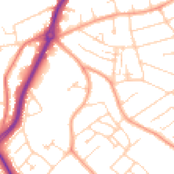
Daytime· 07:00 – 23:00
50.8dB

Night-time· 23:00 – 07:00
40.5dB