103a, Ashcroft Road, Luton, LU2 9AX
About 103a
103a is a four-bedroom detached house in Luton (LU2 9AX). It has a recorded floor area of 168 m² (around 1811 sq ft), construction records dating it to 1983-1990 and council tax band F. The latest certificate (October 2010) shows a C (score 69), just inside the C band. The latest certificate is from October 2010, so improvements made since then won't be reflected.
At 168 m² the property is well over the postcode median (84 m² across 45 EPCs), placing it in the larger end of the local stock. Its energy rating outperforms most of the postcode (better than 78% of similar EPCs). Across 2007–2018, sale prices on this property compounded at 3.5% per year. Today's modelled estimate of £527,000 is 17.1% above the 2018 sale price. On a £-per-square-foot basis, the last sale (£249/sq ft) was about 35.5% above the typical sold price in the postcode. Most recent transfer: November 2018 at £450,000. One historical planning record sits against the property in 2015.
What this property has
Inside
- Bedrooms4
- Bathrooms2
- Dining roomYes
- Utility roomYes
- EnsuiteYes
Outside
- GarageYes
Everything you need to know about 103a
The true value, the hidden risks and the full sale history, in one report.
30-day money-back guarantee

The data behind every report


Energy performance
103a's EPC is over a decade old — improvements since won't be reflected.
EPC Expired
This certificate is over 10 years old and is no longer valid.Expired 06 Oct 2020
EPC Rating
Planning history
- Feb 2015
What's in 103a, Ashcroft Road, Luton, LU2 9AX's planning history?
Refusals, disputes and full decisions on this property and nearby, in the report.
Sales history & valuation
103a valuation sits well clear of the typical sold price in this postcode.
£527,000
Modelled from EPC, postcode comparables and a sale-price growth of 3.5% per year over 12 years.
£450,000
Growth on file: 3.5% per year over 12 years.
Sales timeline
9 November 2018Most recent
£450,000
+50.0%over 11 years9 February 2007
£300,000
Median price across the last 5 sales in LU2 9AX: £385,000 (2025–2023).
Nearby sales in LU2 9AX
Versus other Ashcroft Road homes
On habitable rooms, 103a stands well clear of the street.
Price per m²
£2,675
Street avg £6,121
Floor Area
168 m²
Street avg 114 m²
Habitable Rooms
8 rooms
Street avg 6 rooms
CO₂ Emissions
5.5 t/year
Street avg 5.5 t/year
Everything you need to know about 103a
The true value, the hidden risks and the full sale history, in one report.
30-day money-back guarantee
The data behind every report
Similar properties nearby
The neighbourhood at a glance
Crime
6/mo
Steady year-on-year across the wider district.
Nearest stop
0.0 km
Walnut Close — bus stop.
Closest school
0.4 km
Stopsley Community Primary School. 25 schools nearby.
Go deeper on the local area
The full report breaks down crime, transport links, schools and air quality in depth.
Road noise across the postcode
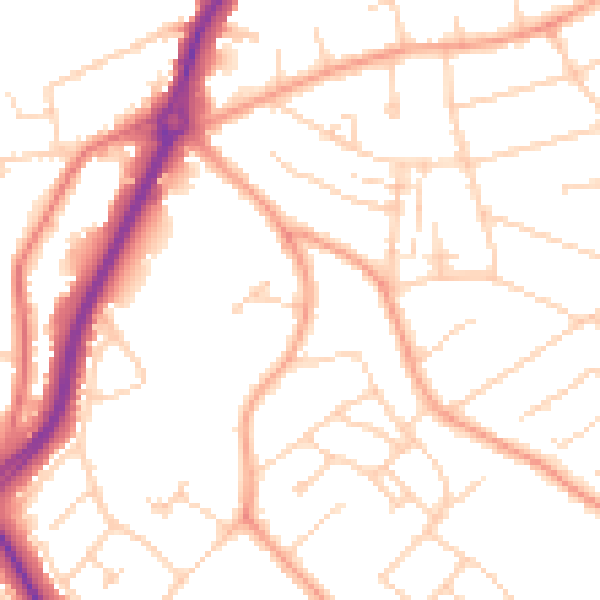
Daytime· 07:00 – 23:00
50.8dB

Night-time· 23:00 – 07:00
40.5dB