13 East Moor Crescent, Leeds, LS8 1AD
About 13 East Moor Crescent
13 East Moor Crescent is a property in Leeds (LS8 1AD). It has council tax band C.
Untraded for 21 years, with the last transfer in November 2005. Across 2004–2005, sale prices on this property compounded at 20% per year.
Know exactly what you're buying at 13 East Moor Crescent
Before you offer, see what the listing won't tell you, the true value, the red flags and the full history.
Already flagged here
Valuation
against the asking price
Risks
planning & flood
Sold prices
similar homes nearby
Trends
the local market
Energy performance
No EPC on record
This property doesn't have an Energy Performance Certificate yet. An EPC is required to sell or let — and unlocks our automated valuation.
Planning history
13 East Moor Crescent has no planning applications on record.
The full report still covers planning activity across the surrounding area.
We flagged 1 thing worth checking at 13 East Moor Crescent
Independent checks surfaced things a buyer would want to understand before offering. The report explains each one in full, with the underlying data and what to ask.
- Recent ownership pattern worth a look
30-day money-back guarantee
Sales history & valuation
£212,000
Growth on file: 20.0% per year over 2 years.
Sales timeline
7 November 2005Most recent
£212,000
+31.7%over 1 year4 May 2004
£161,000
Median price across the last 5 sales in LS8 1AD: £259,950 (2024–2013).
Nearby sales in LS8 1AD
Everything we know about 13 East Moor Crescent, in one report
What it's really worth, what could be wrong, and the planning, sales and area data in full.
What we flagged
- Recent ownership pattern worth a look

Similar properties nearby
1 Devonshire Crescent
LS8 1AX
1 East Moor Crescent
LS8 1AD
1 Devonshire Close, Roundhay
LS8 1BF
1 Gledhow Grange Walk
LS8 1PJ
1 Chandos Mews
LS8 1HU
1 Fernwood, Park Villas
LS8 1SQ
1 Gledhow Grange View
LS8 1PH
1 Devonshire Mews, Devonshire Crescent
LS8 1AT
The neighbourhood at a glance
Daytime road noise here sits well below conversation level — a quiet pocket of the postcode.
Crime
4/mo
Steady year-on-year across the wider district.
Nearest stop
0.2 km
Talbot Road — bus stop.
Closest school
0.2 km
Talbot Primary School. 27 schools nearby.
Go deeper on the local area
The full report breaks down crime, transport links, schools and air quality in depth.
Road noise across the postcode
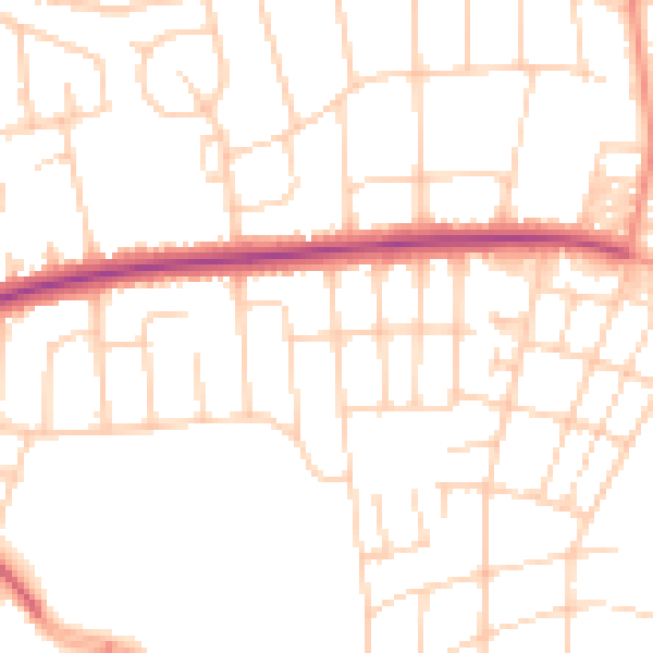
Daytime· 07:00 – 23:00
49.9dB

Night-time· 23:00 – 07:00
39.6dB